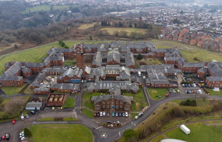
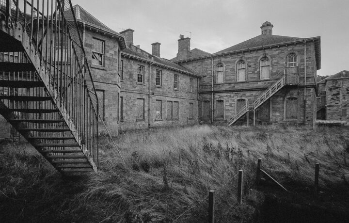
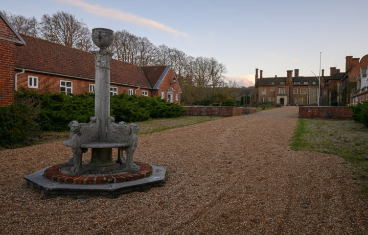
Welcome Beyond the Point. We’re an award-winning passion project dedicated to recording overlooked built heritage through visual media. Our mission is to record surviving disappearing structures for posterity through high-quality architectural photography and documentary-making. What started as a blog in 2011 has evolved into an archive with over 300 historic sites ranging from Victorian asylums to military defences and abandoned factories. Based in south Essex, our local history is our initial focus, although we also examine sites further afield with their own unique stories, often revealing how present communities and environments are shaped.
Unearth
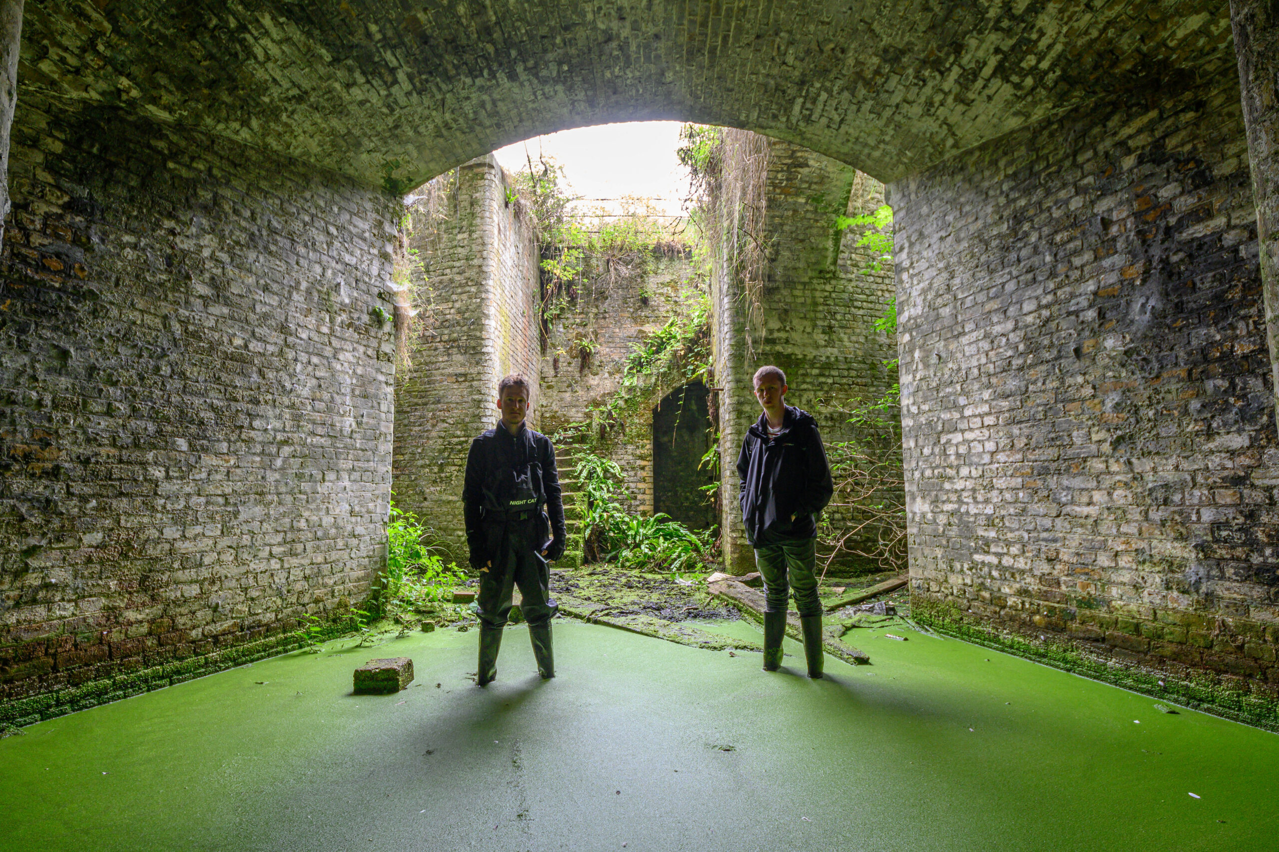
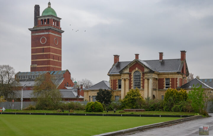
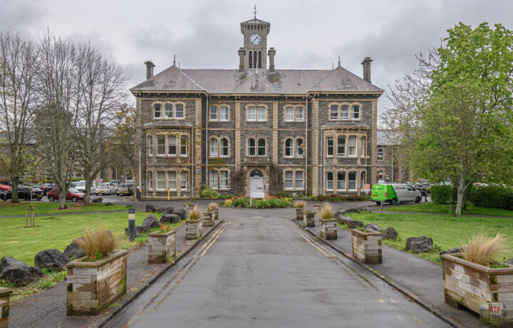
BTP is an award winning Essex-based organisation run by Joe and Liam who research, explore and document hidden heritage and exclusive locations.
Explore
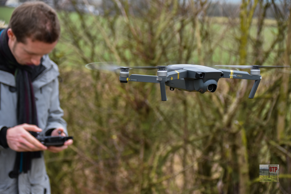
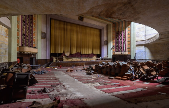
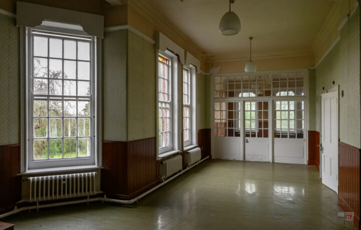
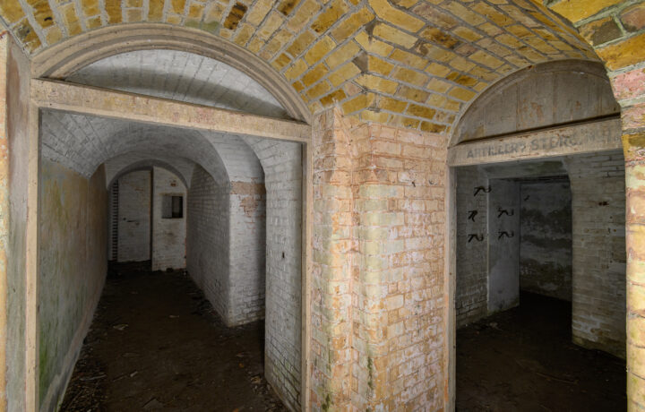
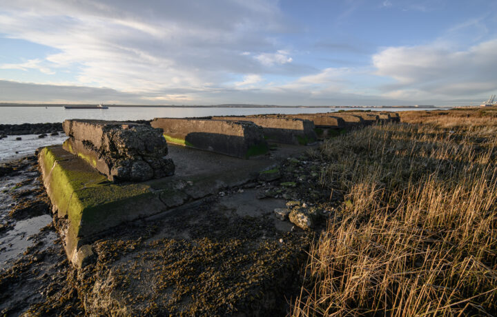
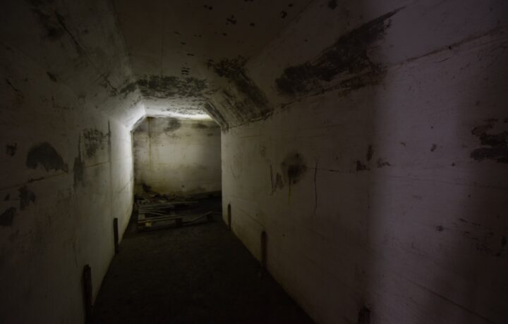
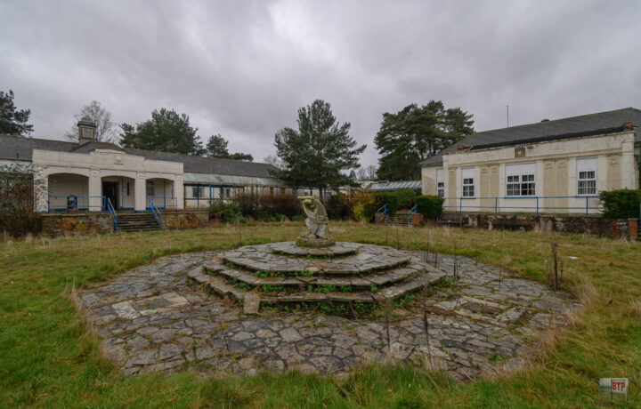
Covering everything between overgrown outdoor ruins, to nuclear bunkers deep underground, our goal is to enlighten you on the usually skimmed-over parts of local history.
Enlighten
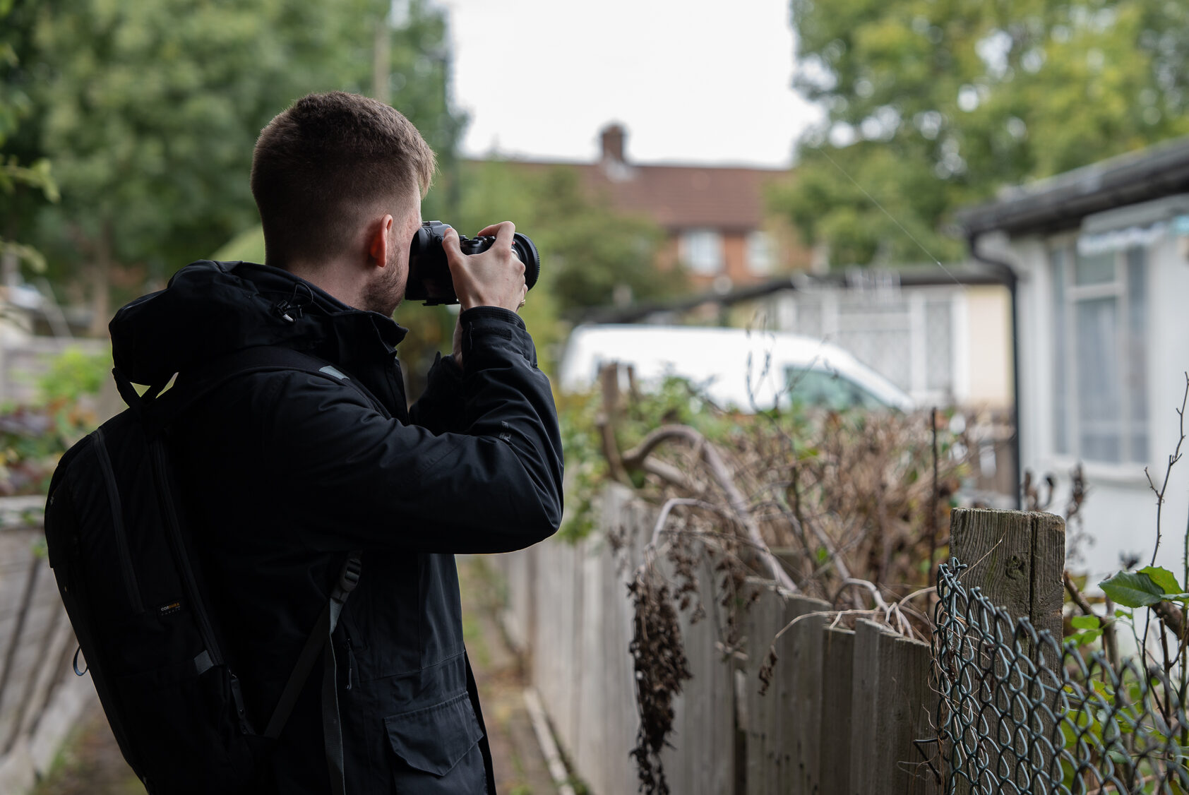
As young adults we are keen to get the next generation passionate about their local history and bring the past into present via our YouTube documentaries and hands-on vlogs.