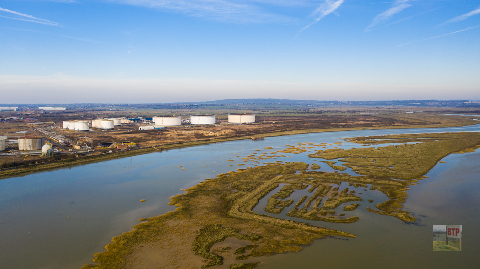
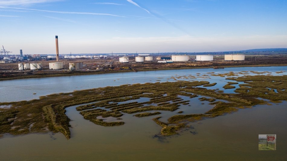
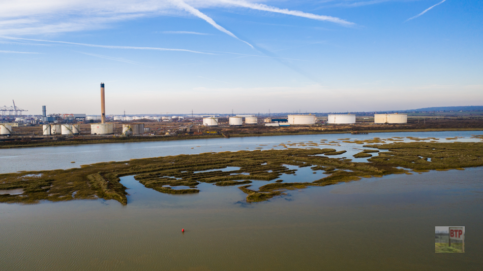
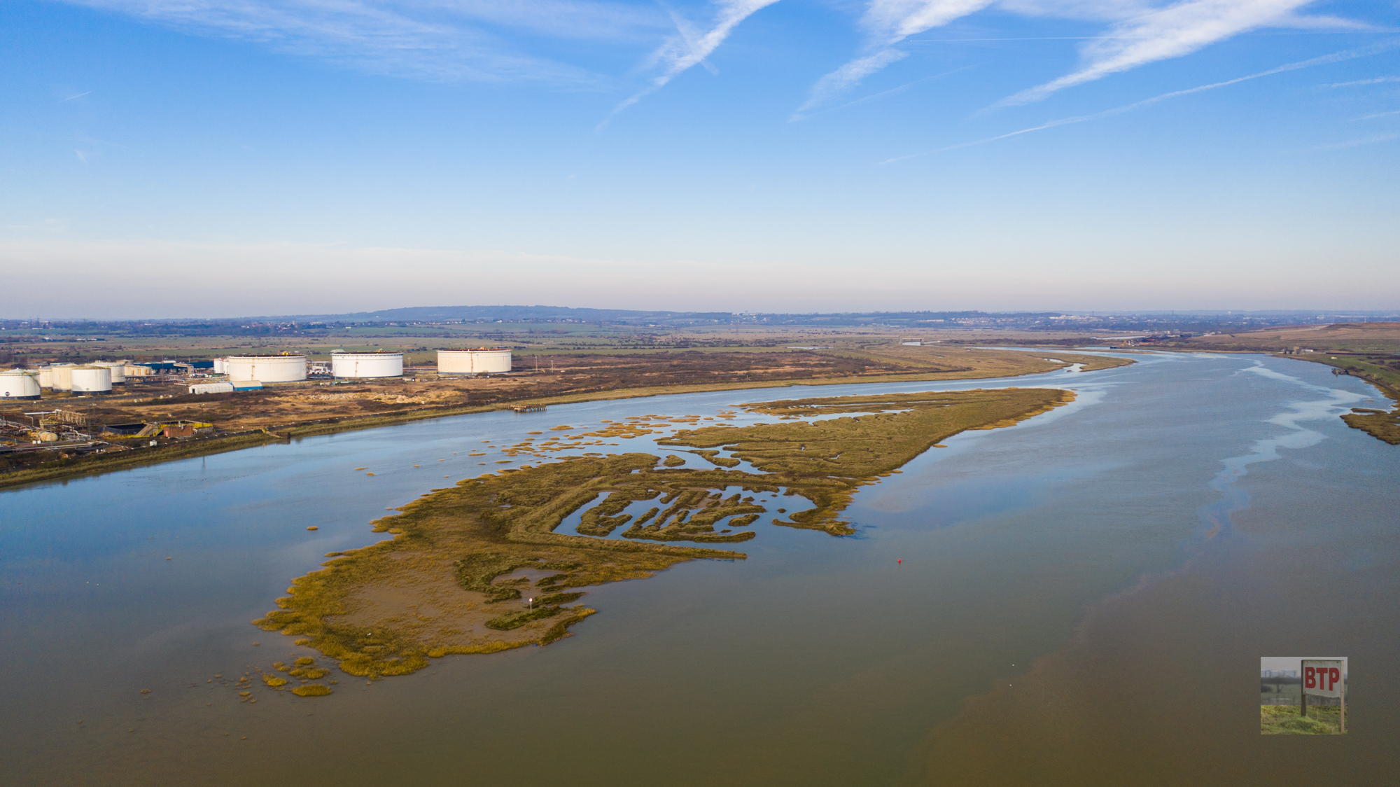
When Beyond the Point was first established in 2011, we started investigating some strange patterns on Upper Horse Island, situated to the west of Canvey Island. They appear to be the same colour to the marsh surrounding, but are clearly shaped by humans, it being square, with circles and lines inside. This lead us to believe that it was very old, and had been overgrown by the surrounding vegetation. It’s been suggested that although the exact purpose us unknown, the site is likely to be Roman, but due to how isolated it is, it’s difficult to properly investigate. We were contacted by Robin Howie a few years ago who supplied us with map photos and information (below).
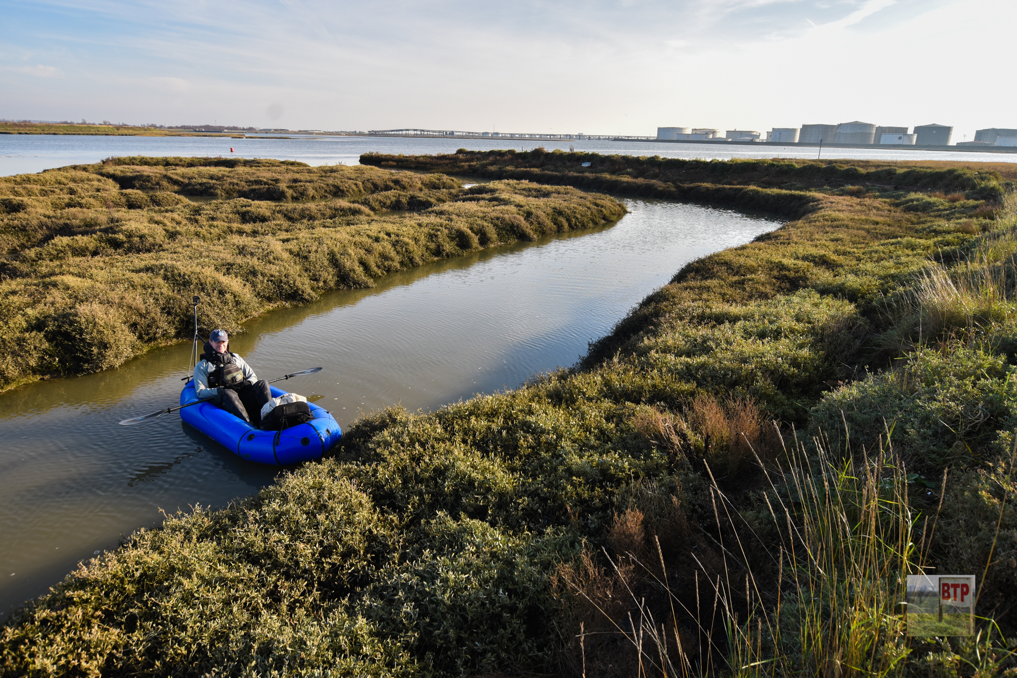
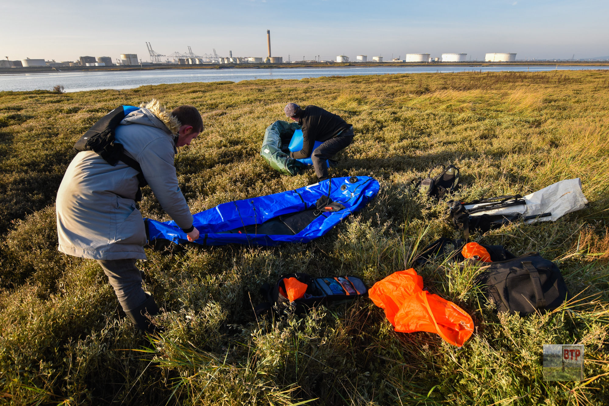
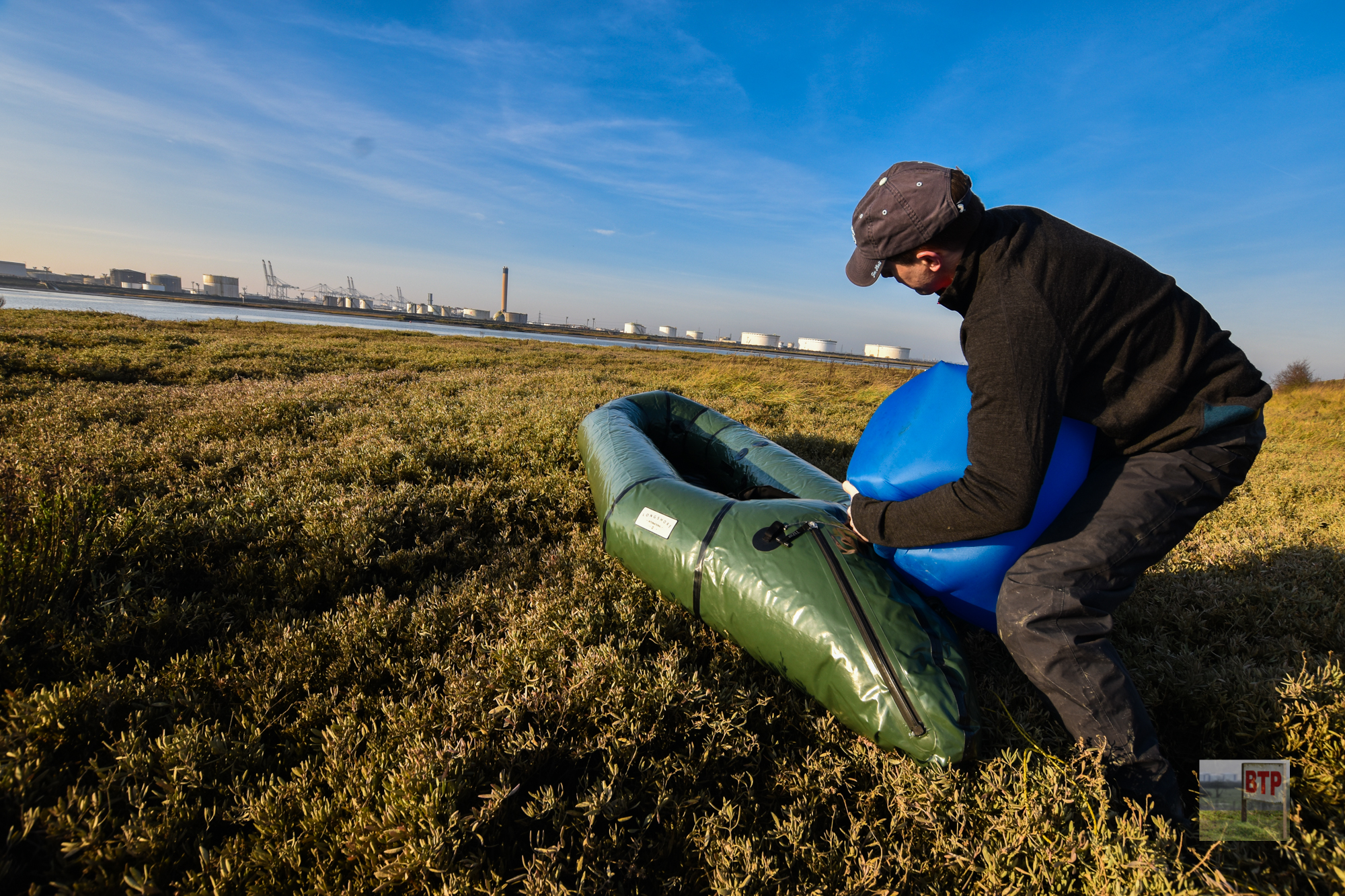
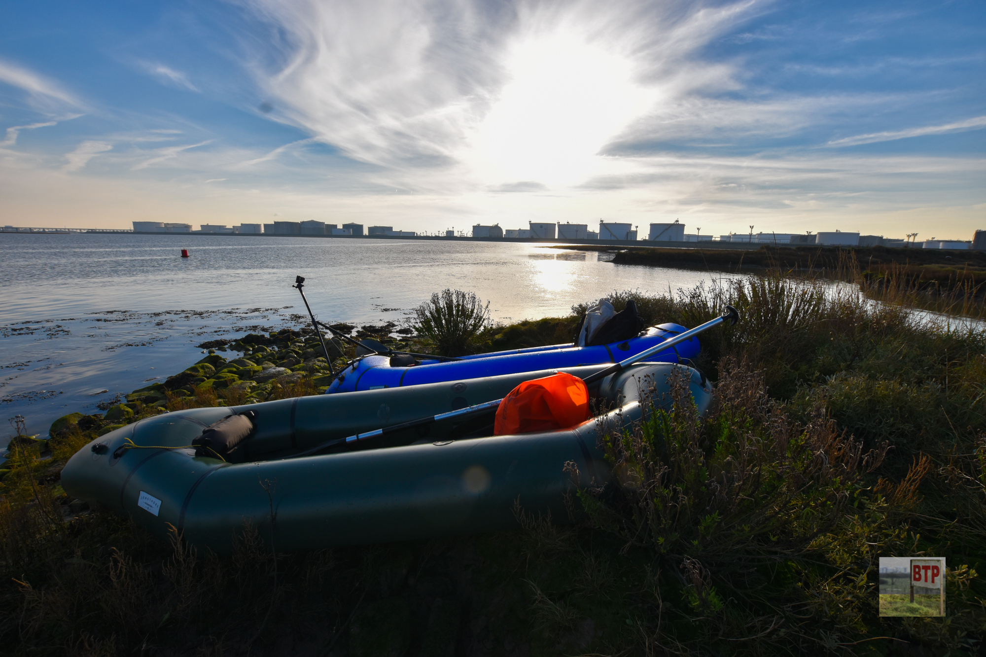
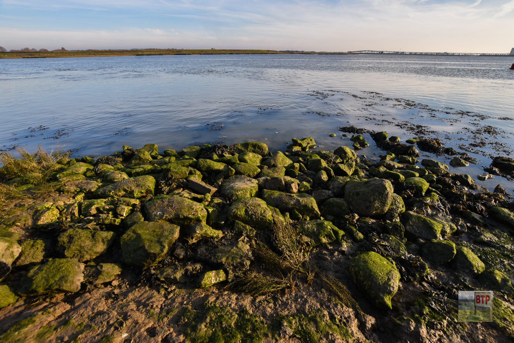
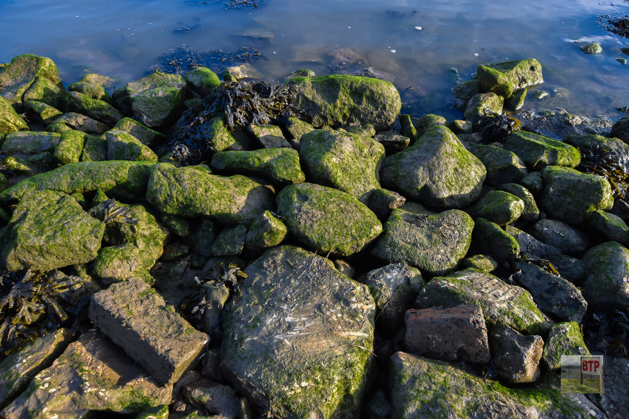
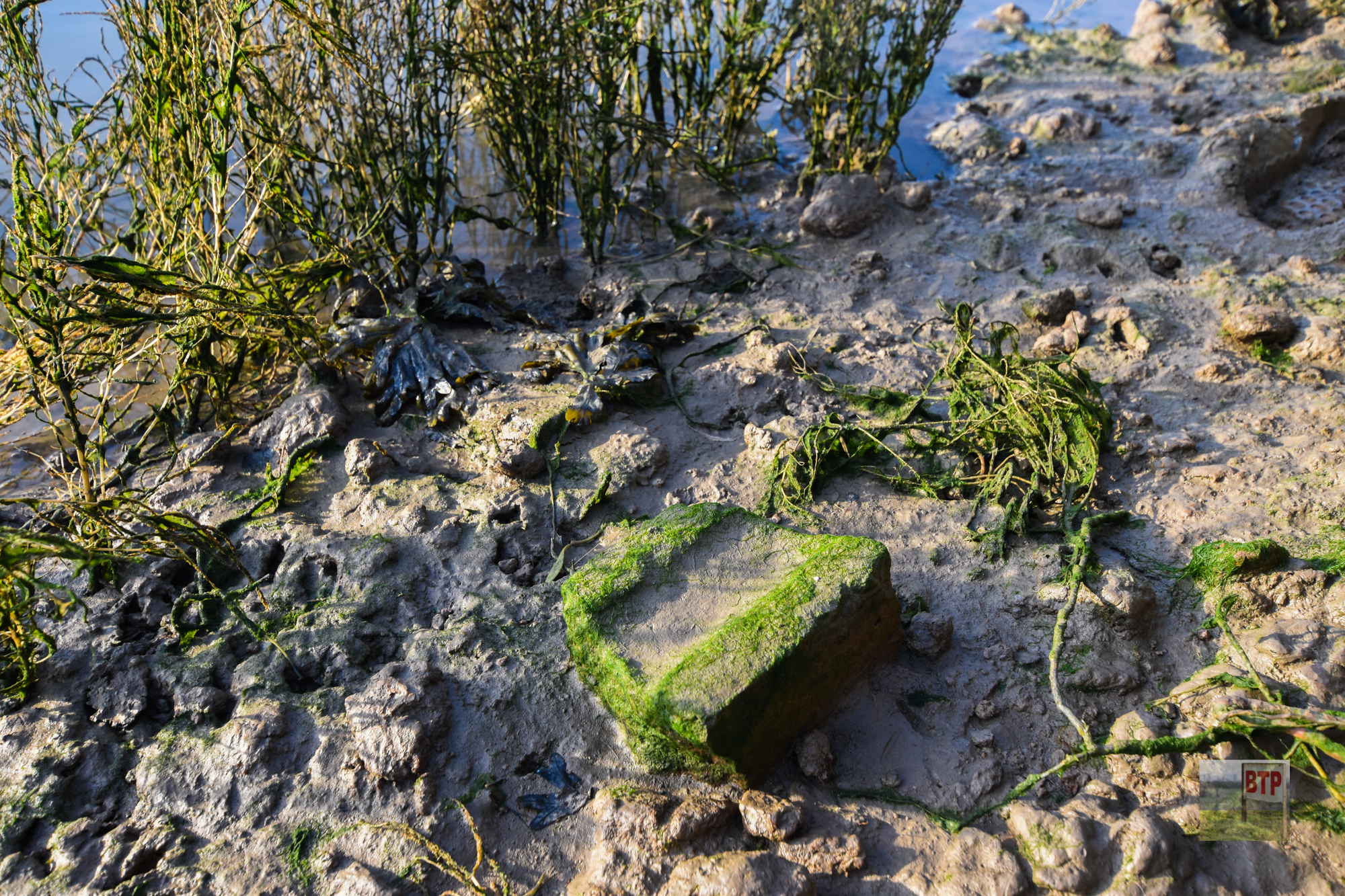
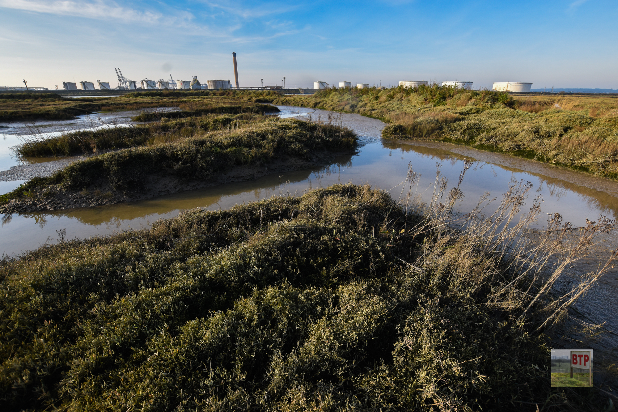
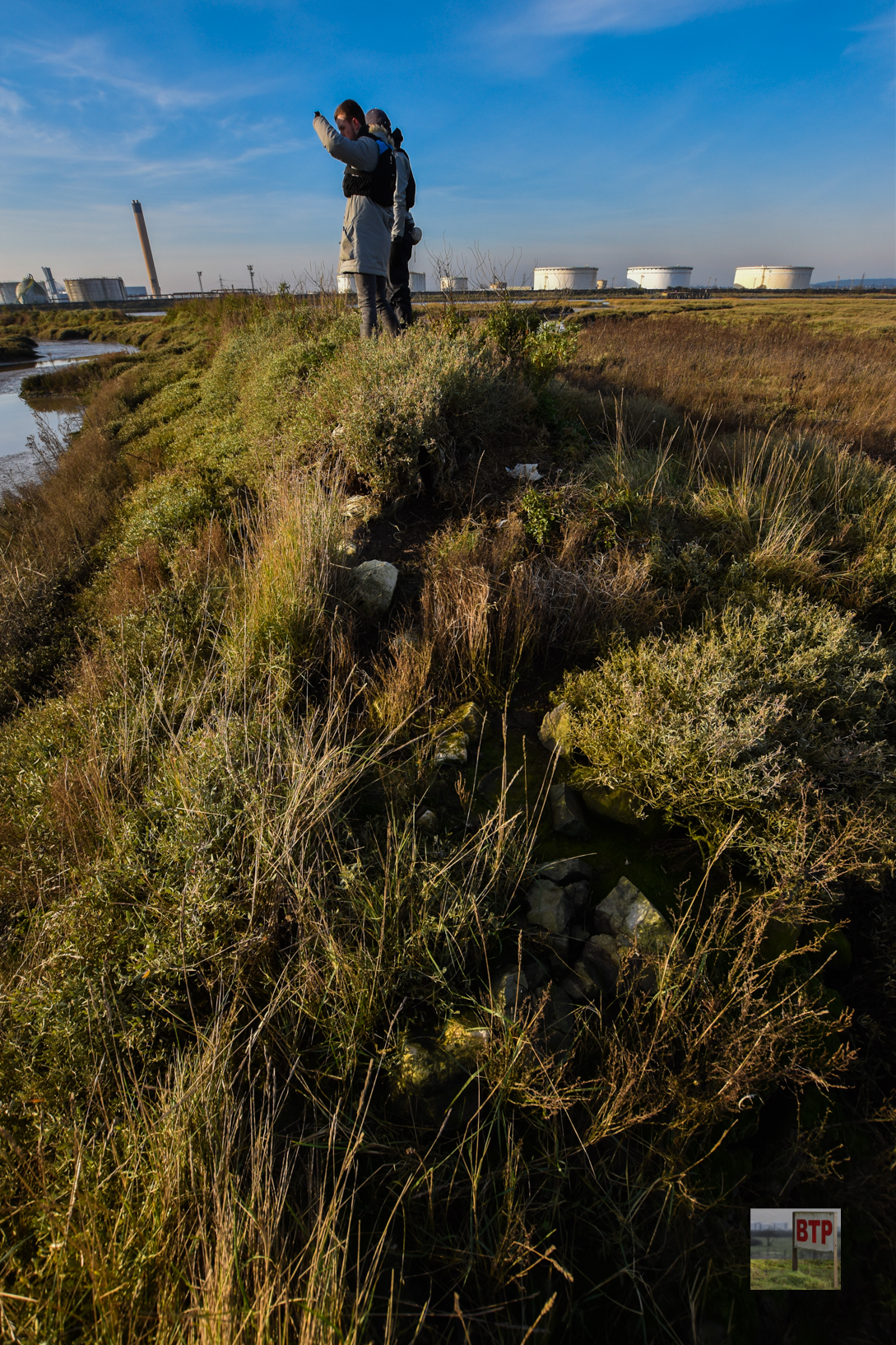
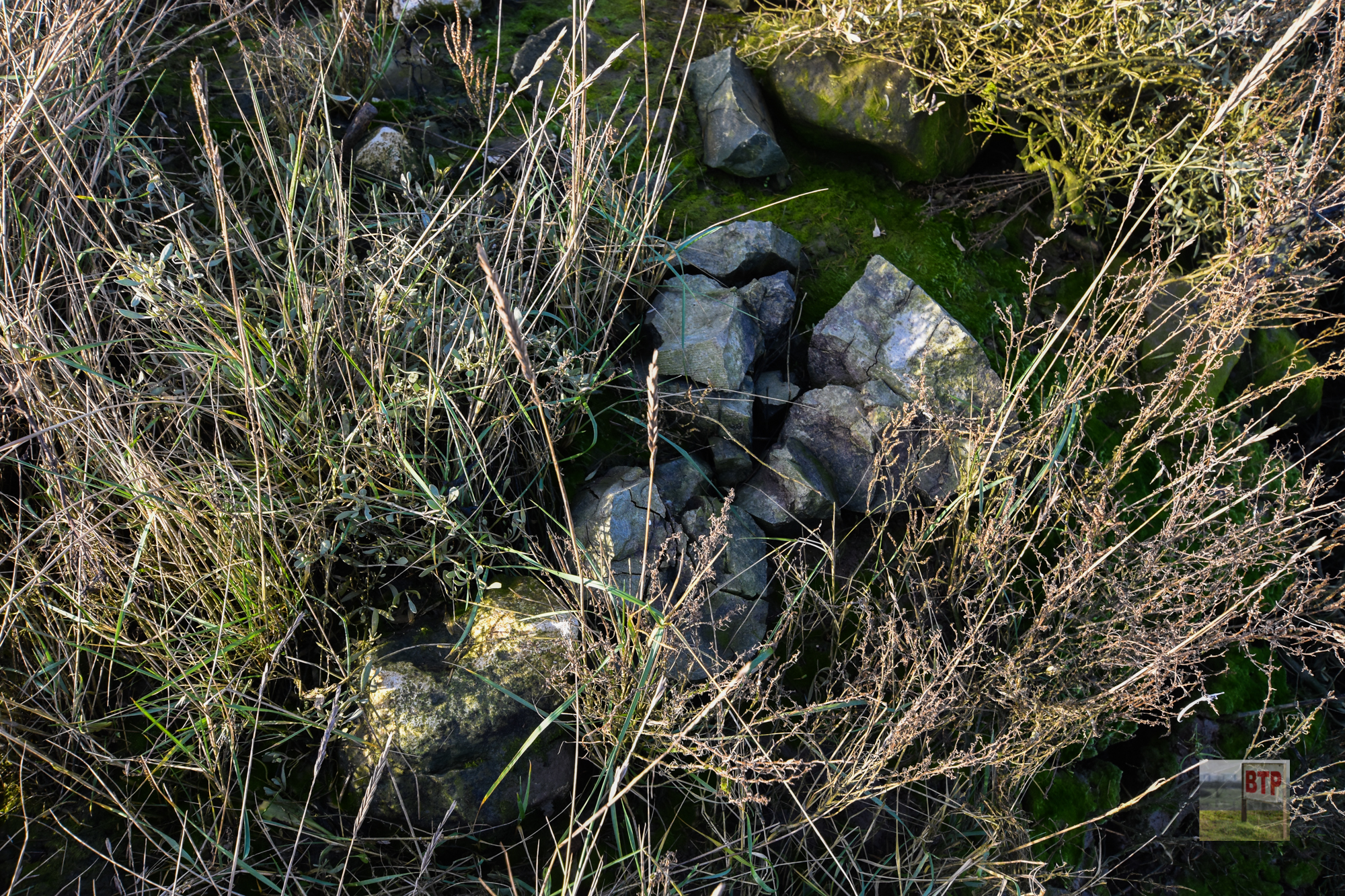
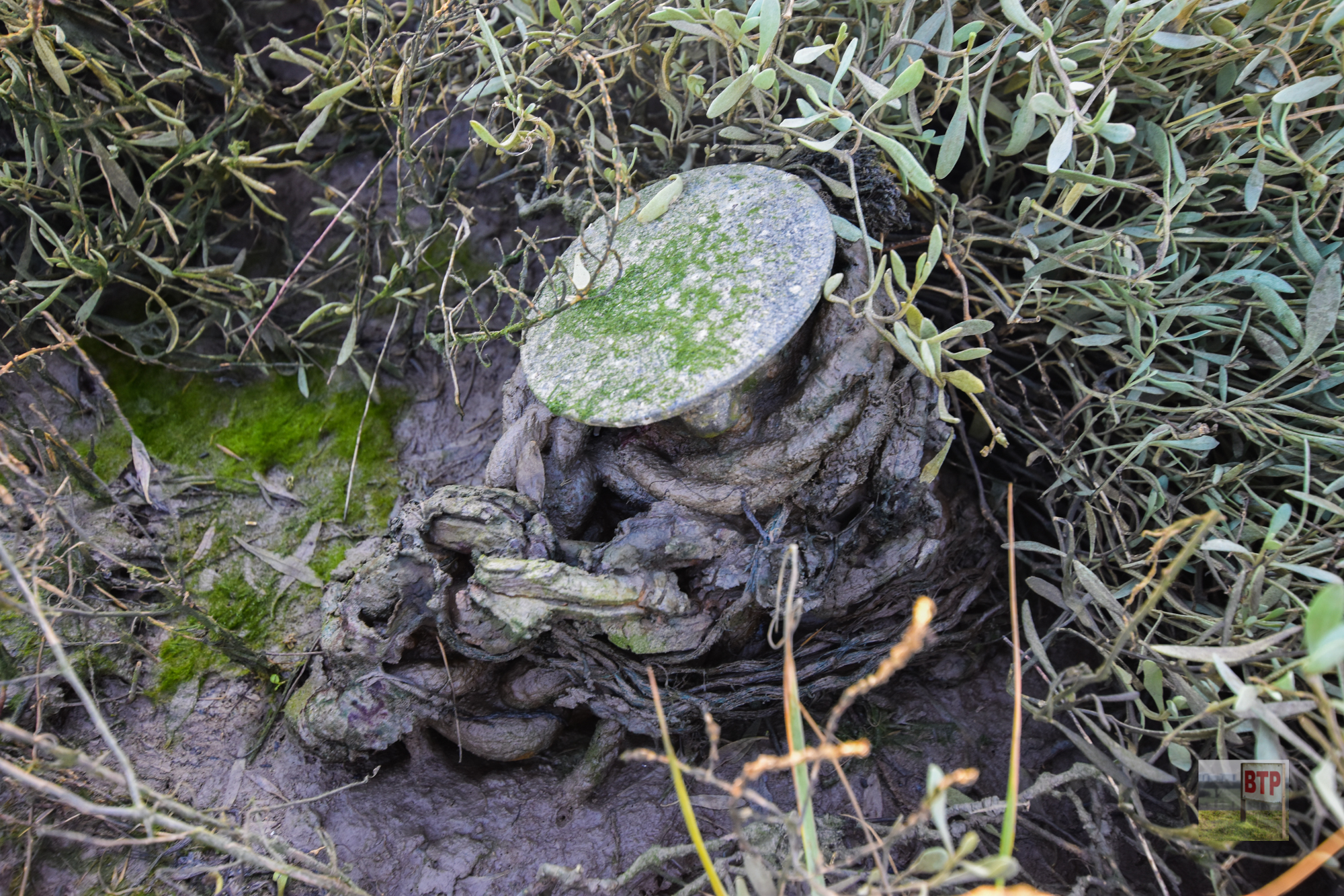
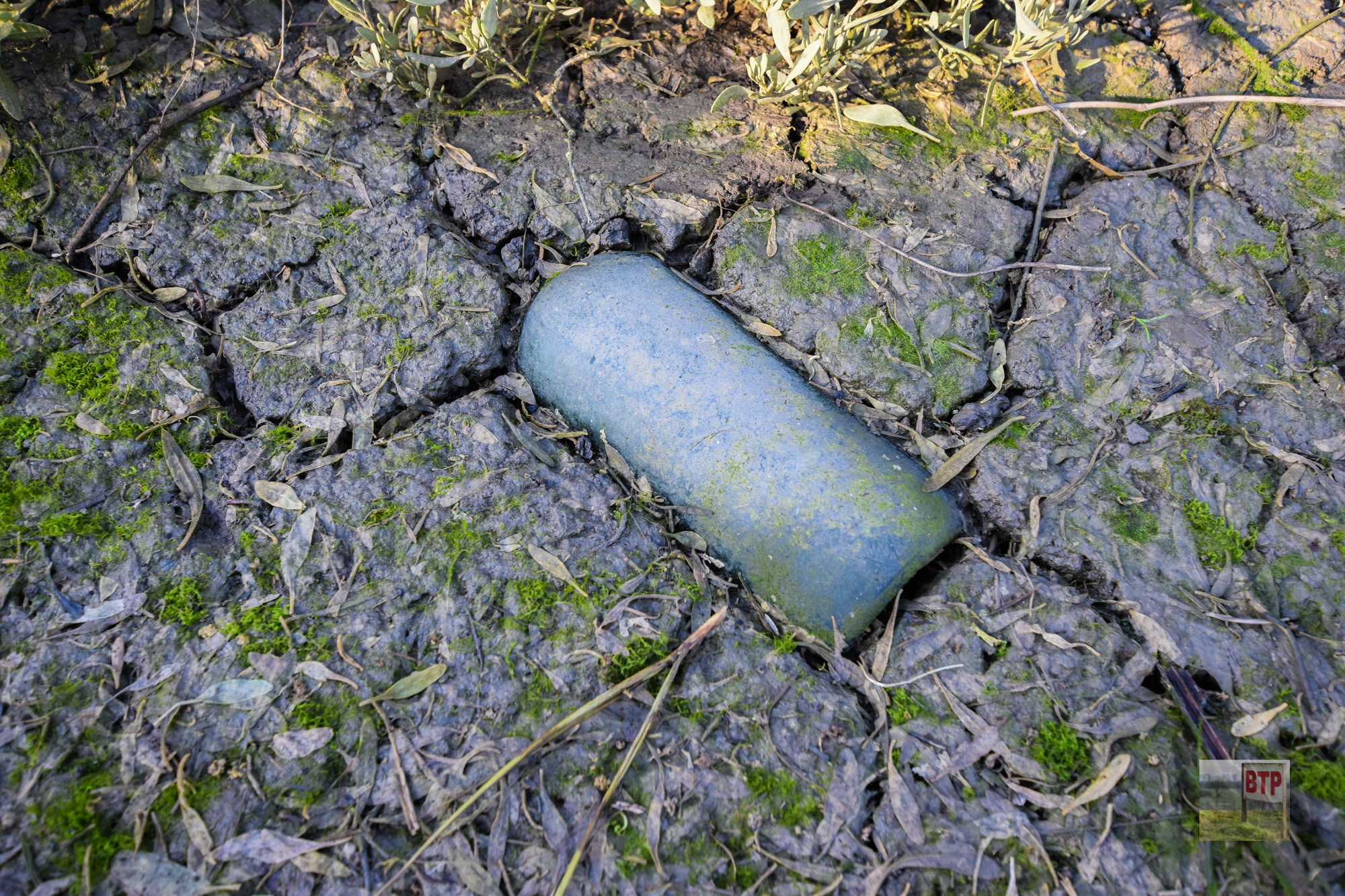
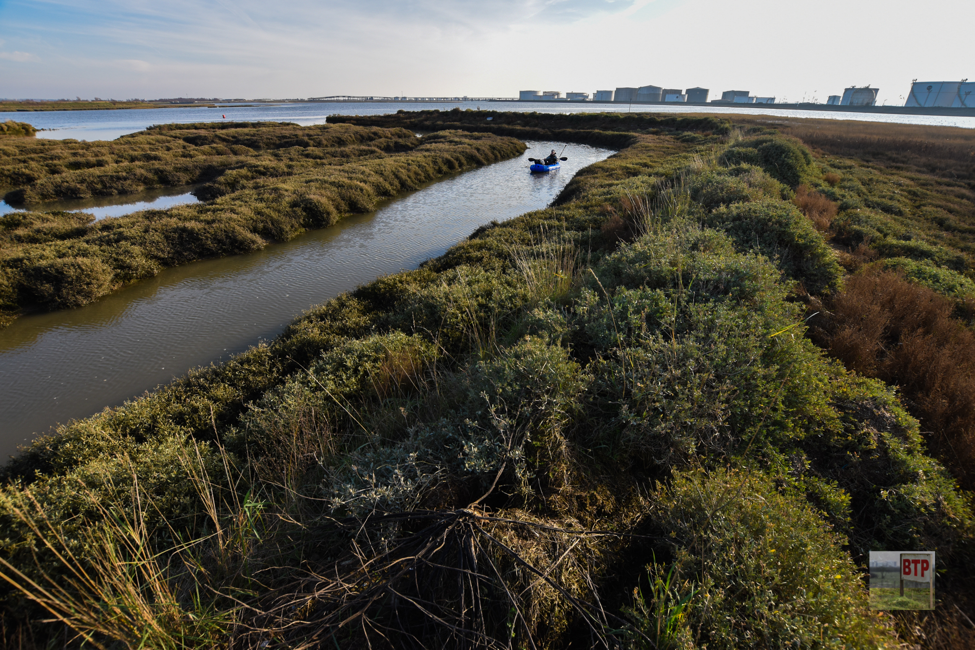
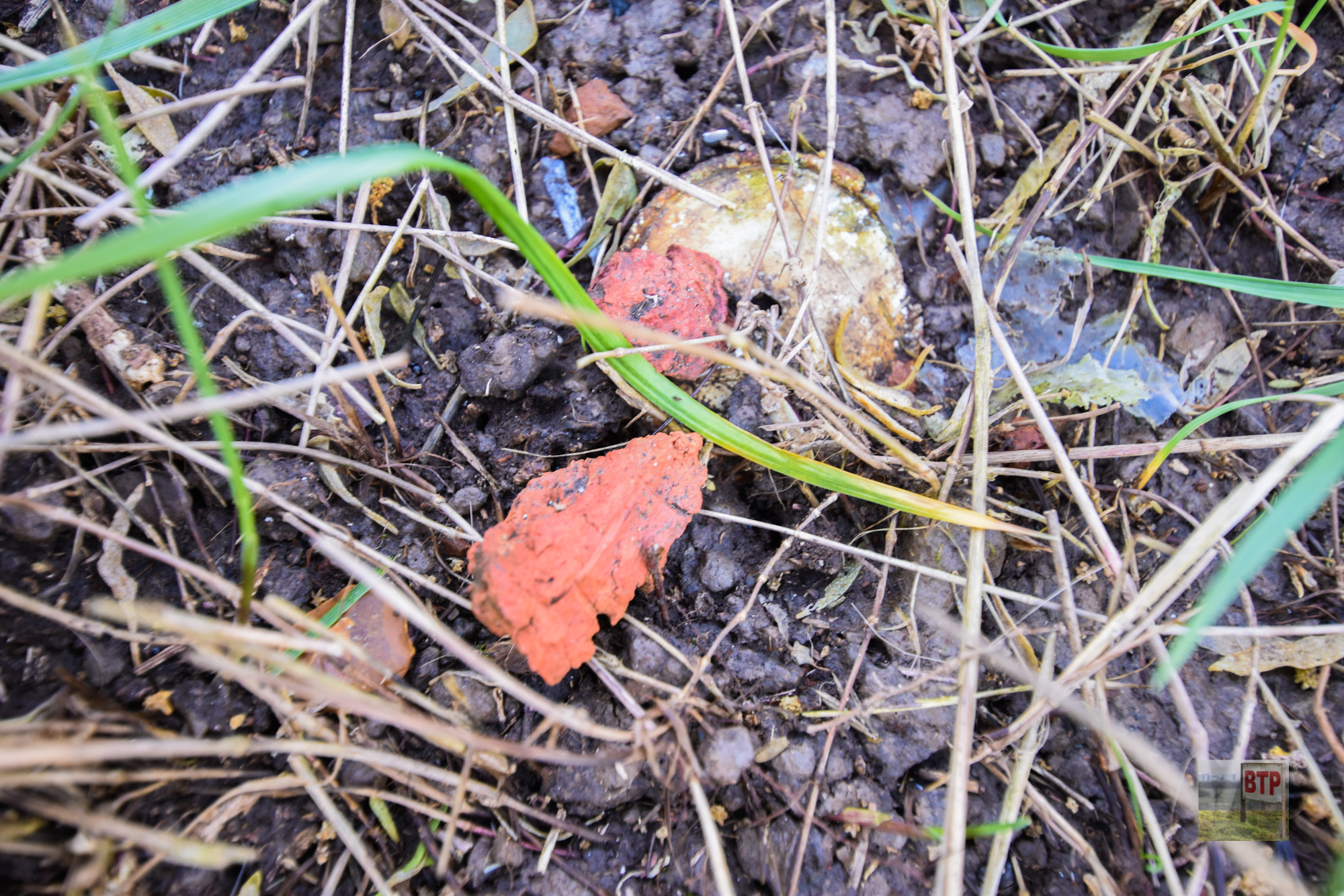
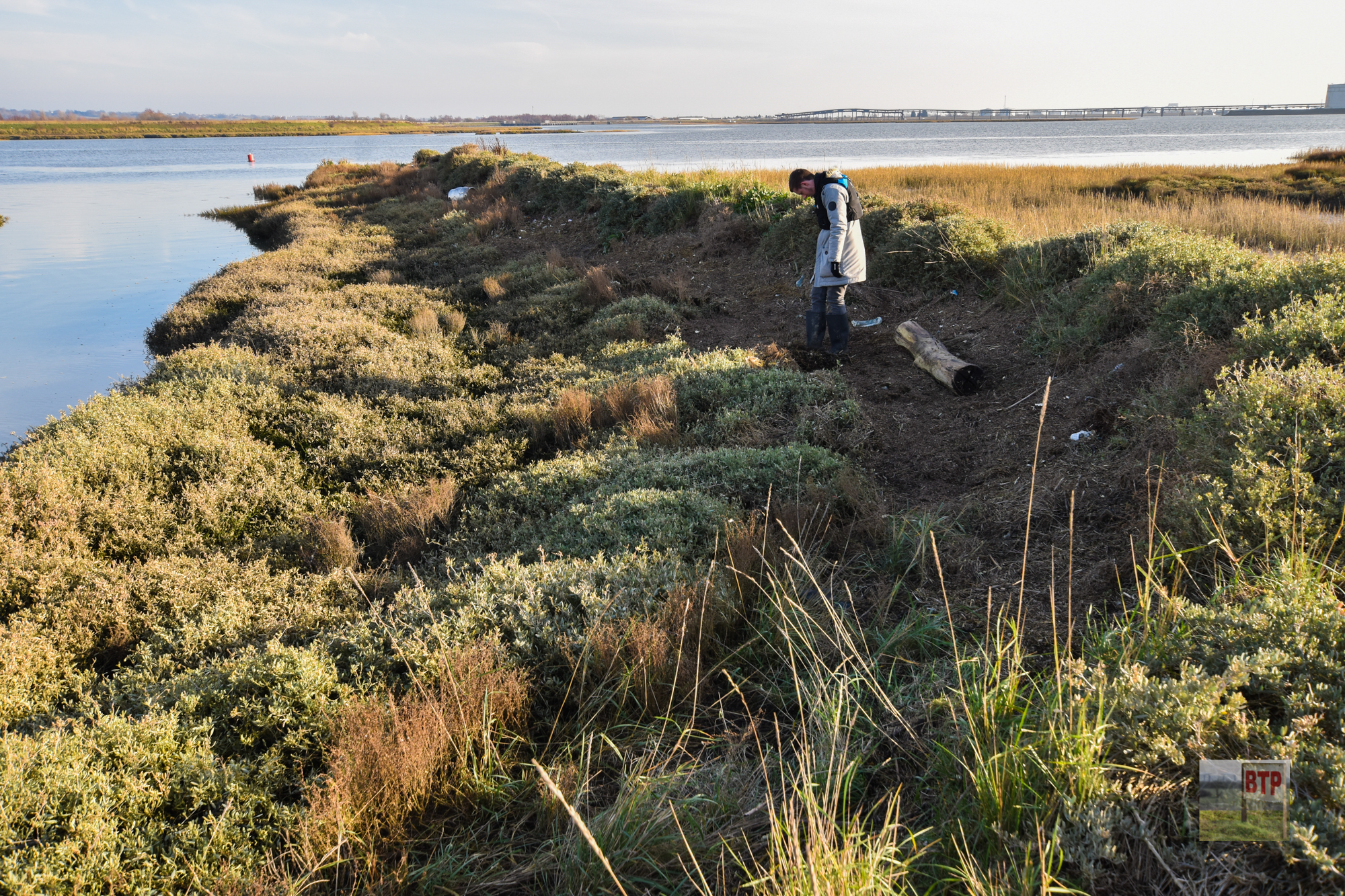
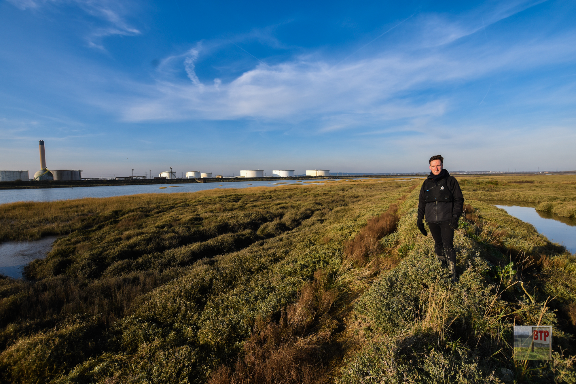
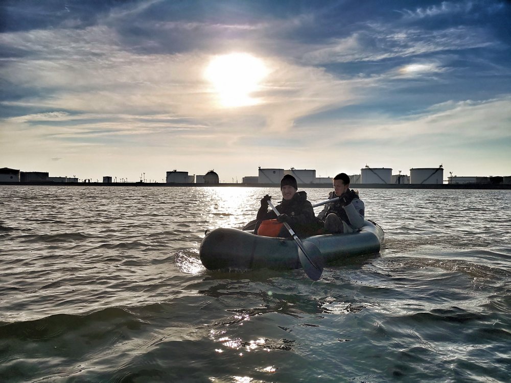
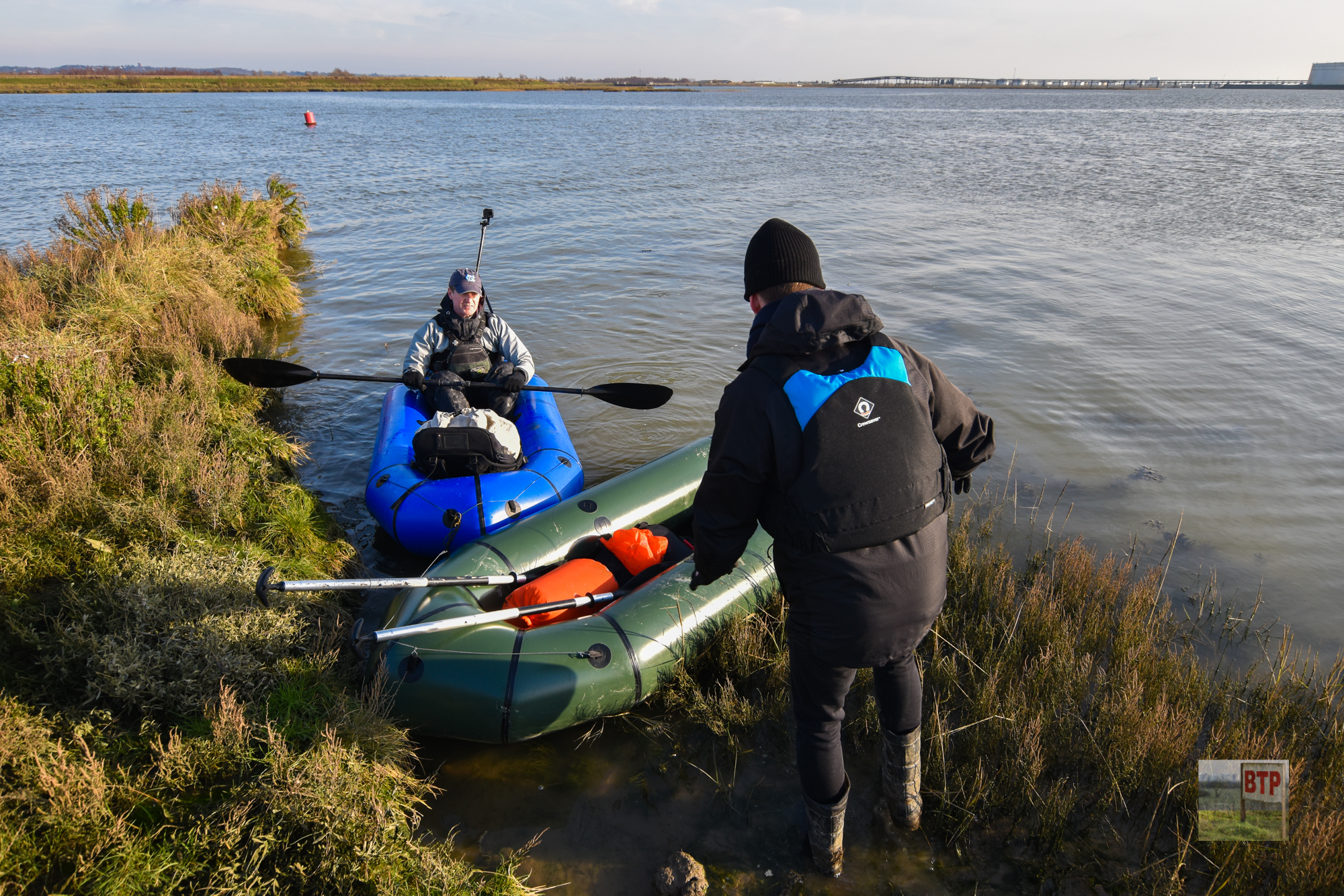
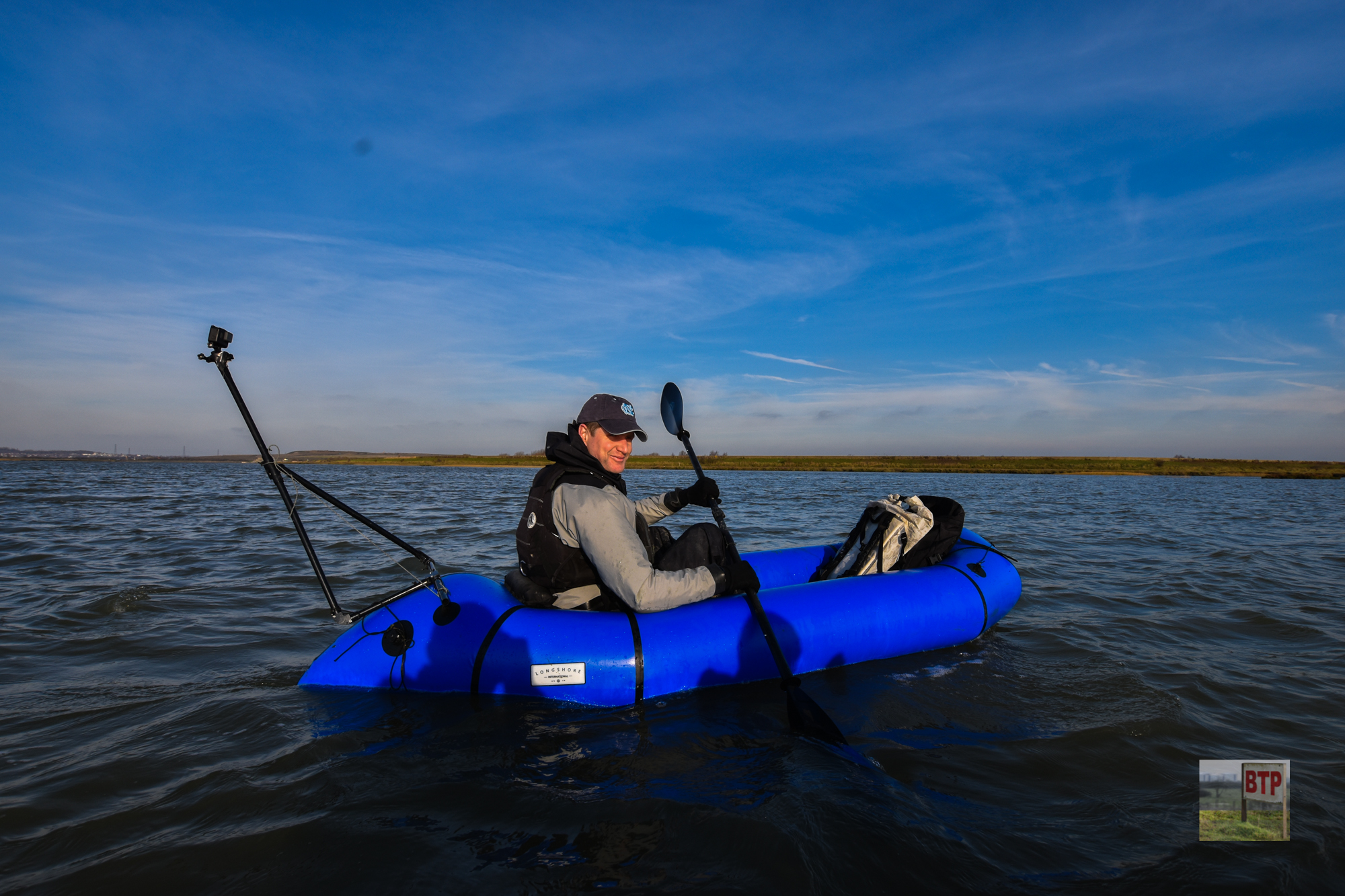
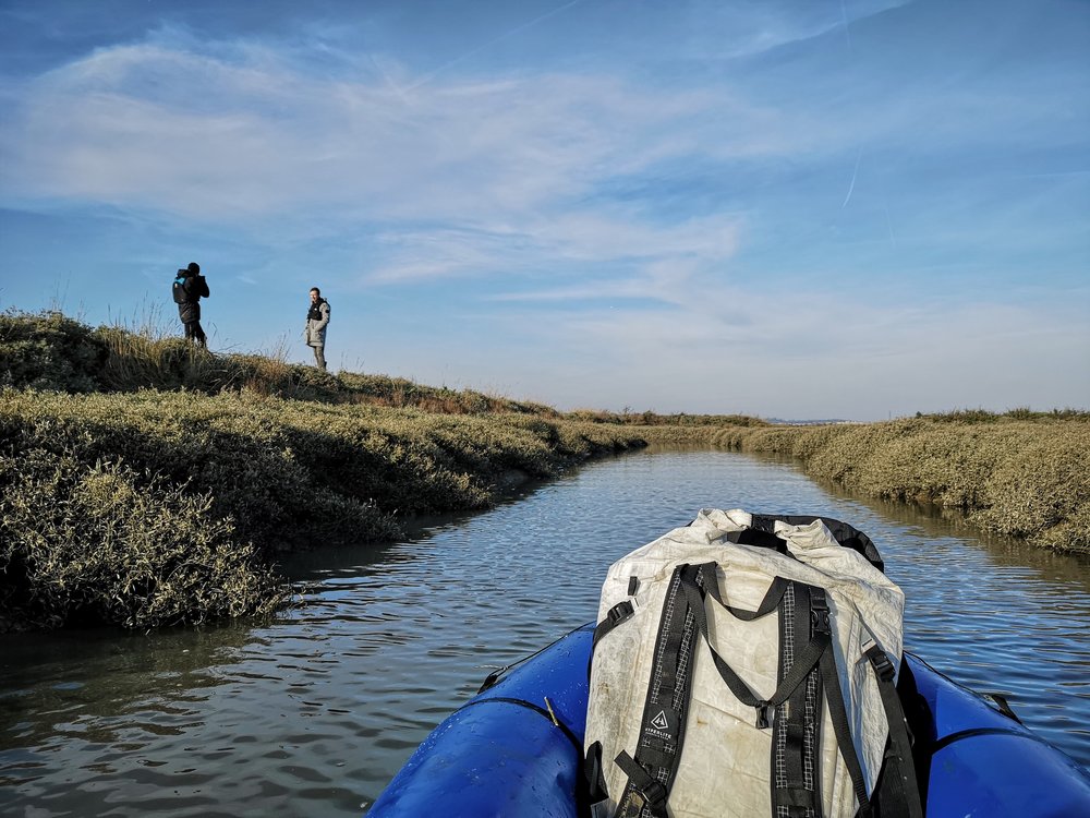
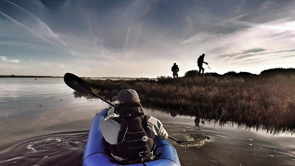
In January 2019, we teamed up with Longshore International and headed over to the island by rowing in an inflatable pack-raft; to be the first people for possibly centuries to step foot on there. You can check out the video from our visit to the right. Our actual findings from the visit were inconclusive, but it was incredible to actually set foot on and document the island close-up. The brick remains of a modern hut or wall (described later) were found in its south-east corner, and its surrounding seawall was clearly artificially built-up. Finds including an awful lot of rubbish, some old bottles, red brick fragments, and an old anchoring point. The island’s enclosure appeared much bigger than it appears from the air, so it is quite possible it was a form of fortification or occupied site.
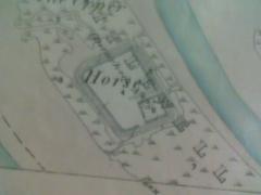
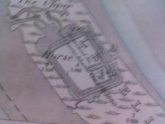
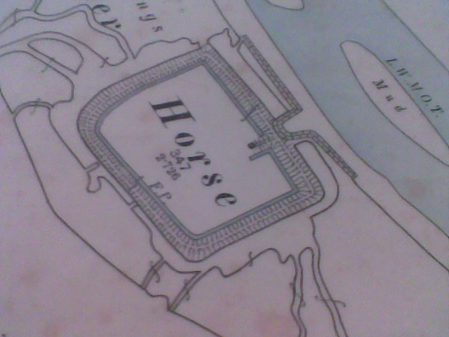
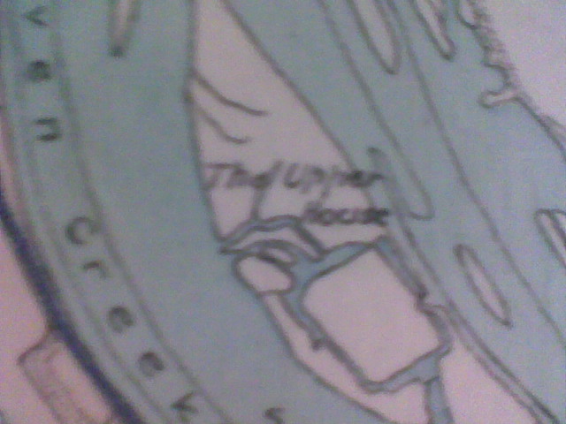
From left to right above: The first two maps date back to 1863/67. They show a small square building or enclosure within the main enclosure, which can be seen in the bottom right of it. The third map from 1876 clearly shows the enclosure with a sea wall and footpath, which cannot be seen in the 1905/15 image suggesting it was removed by this time. It does not however show the smaller enclosure, which is more likely to be of Victorian origin. The small enclosure and footpath could have been used as a coastguard site, although this is only speculation based on similarity to Canvey’s coastguard cottages. And the final map from the early 20th Century shows the island as having a square flat area, which is the area inside the enclosure, suggesting it was man-made foundations.
A 1512 document says how Upper Horse and part of Canvey was paid to be deforested by Lord Appleton. It seems that the mystery island’s past will never be revealed to us entirely, although thanks to Robin’s research, we have got far closer to the truth. The conclusion seems to have been made that the main enclosure is that of a Roman fort, in which the enclosed area would have held around 200 men, of which the strips of marsh that can be seen today are likely to be the foundations of. It could also have been a form of outpost, or an agricultural enclosure for housing cattle. However, all conclusions are uncertain despite general agreement that the island’s outline was of Roman origin although probably with the seawall and aforementioned hut being built up in modern times. Some locals have recalled the strip-patterns within the enclosure being made by prisoners of war during the Second World War as farmland, but this would seem like a very peculiar activity and 1950s aerial imagery shows the island looking much the same as it does today. The old maps of the island were shown to Time Team’s Professor Phil Harding, who believes the structure may have been used by the Romans to gather salt, but then again the mystery continues, as why would they use such a hard-to-access place instead of the mainland? It has been suggested that the marshland would have filled Hole Haven creek during the Roman period and hence the fort would have been on the edge of the marshland of Canvey rather than isolated by water.
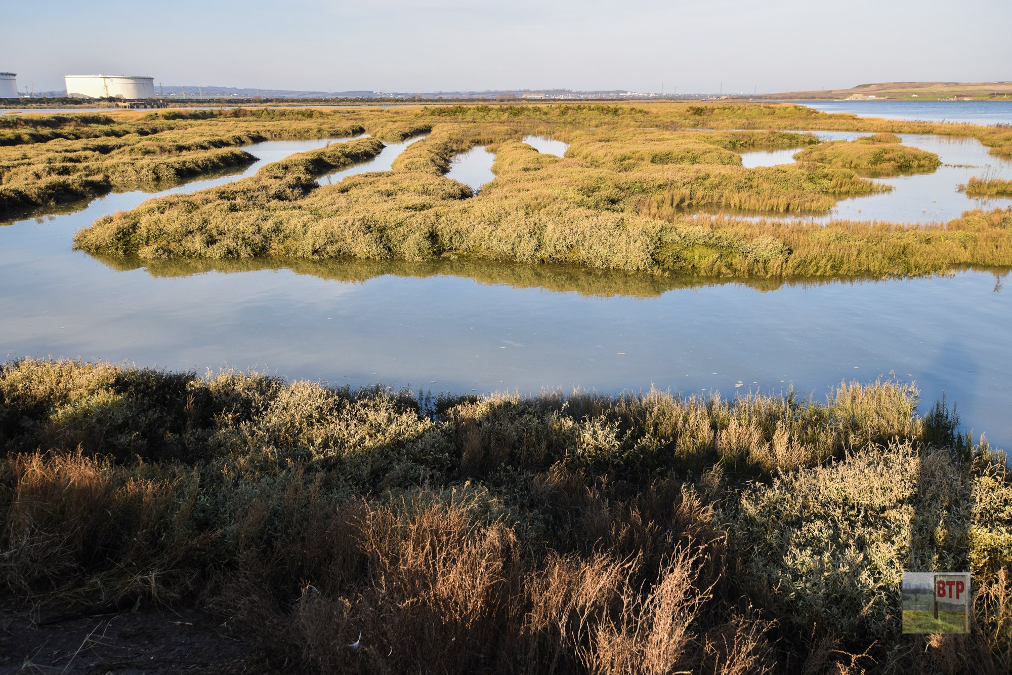
On passing the island from Canvey’s Western Sea Wall, only a grassy raised area, with longer light brown grass, can be seen, were the enclosure remains. This is also the only area on the island which is not marsh, showing that the Roman enclosure was artificially built up with mud in which more mainland foliage has grown on. If you have any photos or suggestions to add to our investigation, then please comment below.
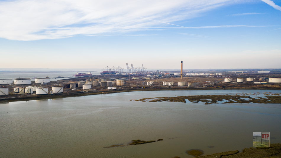
Drone Photography


Great to see this, with the salt pans at the point it makes sense that the Romans had an interest in Canvey. I vaguely remember Roman tiles being found when Canvey Way was under construction but it was decided they had washed in rather than been a Roman Villa, a fort on Upper Horse Island makes more sense than these tiles being washed down from London.
Really enjoyed this very interesting article . just a small thing I think it should be Salt not slat ….
“…been used by the Romans to gather slat,…”
Great to see such up to date footage. The remains of the Roman Saltworks can be seen in large abundance when strolling (carefully) on Canvey Point but the footage on this site has added a whole new dimension to the Romans on Canvey. GOOD WORK, WELL DONE
fantastic,its unreal to think of the history that surrounds us here.so glad i found this site.i had no idea half this stuff surrounded me,now i have plenty of places to shoot armed with my new canon(no pun intended) 😀
Having done some research on the neighbouring London Gateway development and documentary evidence for the 17th reclamations of he marshes I wonder if this could be a worker’s compound associated with reclamations of either Canvey Island and/or the marshlands to the west by Dutch engineers in the early 1620s. A Roman site at that exposed location I feel would ether have washed away by erosion or be buried by a metre or two of sediment.