Turn back the clock to 1850 and Canvey Island little more than farmland and a small village, much like the Wild West. Only few of these actually remain today, with Brickhouse Farm being one of the only still in operation. So, where did all the rest go? Well, a majority became left abandoned due to the decline in agriculture (as the British empire fell from the cost of WW2, it was no longer able to be self-sufficient, hence why most produce is imported today), and most were built on as land was taken up by development. Only few survived on the land which today is west Canvey; a large area of wilderness which has escaped money-maker’s development. It remains much like it has been for hundreds of years, especially Bowers Marsh. Waterside Farmhouse still stands as the recycling centre today.
Beyond the Point made it our mission to uncover the sites of two particular farms which lay on land not covered at by human expansion – Pantile Farm, and Tree Farm. I will say now that the farms in question no longer structurally exist. However, the sites of these two farm houses caught my eye as being on untouched ground – I decided that the remains from their demolition, from as much as a few decades ago, must still be there.
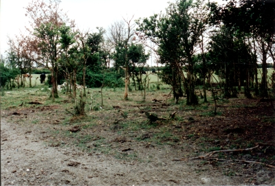
The next farm was Tree Farm, the most commonly known ‘Tree Farm’ on Canvey (there were several). It lied behind the seawall north of Northwick Road’s very end. The fact that both farmhouses were built near the wall indicates that a house with a view was clearly what farmers would usually go for! Up until recently, the site of the farmhouse would have been sheltered by small trees, although upon arrival we saw these had been cleared. The ground either side of the path through the middle was very flat, as if it had once been flattened for foundations of a building. The same ground plant which grew on the Pantile site also grew here too. The above photograph, from possibly the 1990s, shows the site when it was last investigated. The main difference is that the tress are still standing.
We also know that the farm was used as a household beyond 1954, and was demolished some decades ago. It is described by SEAX Archeology as:
Single-storied house with attics, timber-framed and weatherboarded, with thatched roofs. Built in the 17th century, the house is of central-chimney type with `modern additions’ to the rear and an original central chimneystack. On OS card (1955) as `site of’ and deleted from OS field document. Nothing shown on OS 1:25000 map. House shown on C and A map, 1777. Demarcated on all sides by a ditch. Trackway leads in from south drains either side. Some tipping within area and farm track runs N/S through centre of site. Footings of building and ancillary structures probably survive beneath surface. Main damage to site caused by track cutting into sub soil.
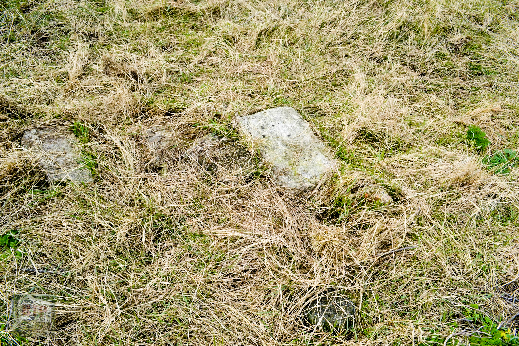
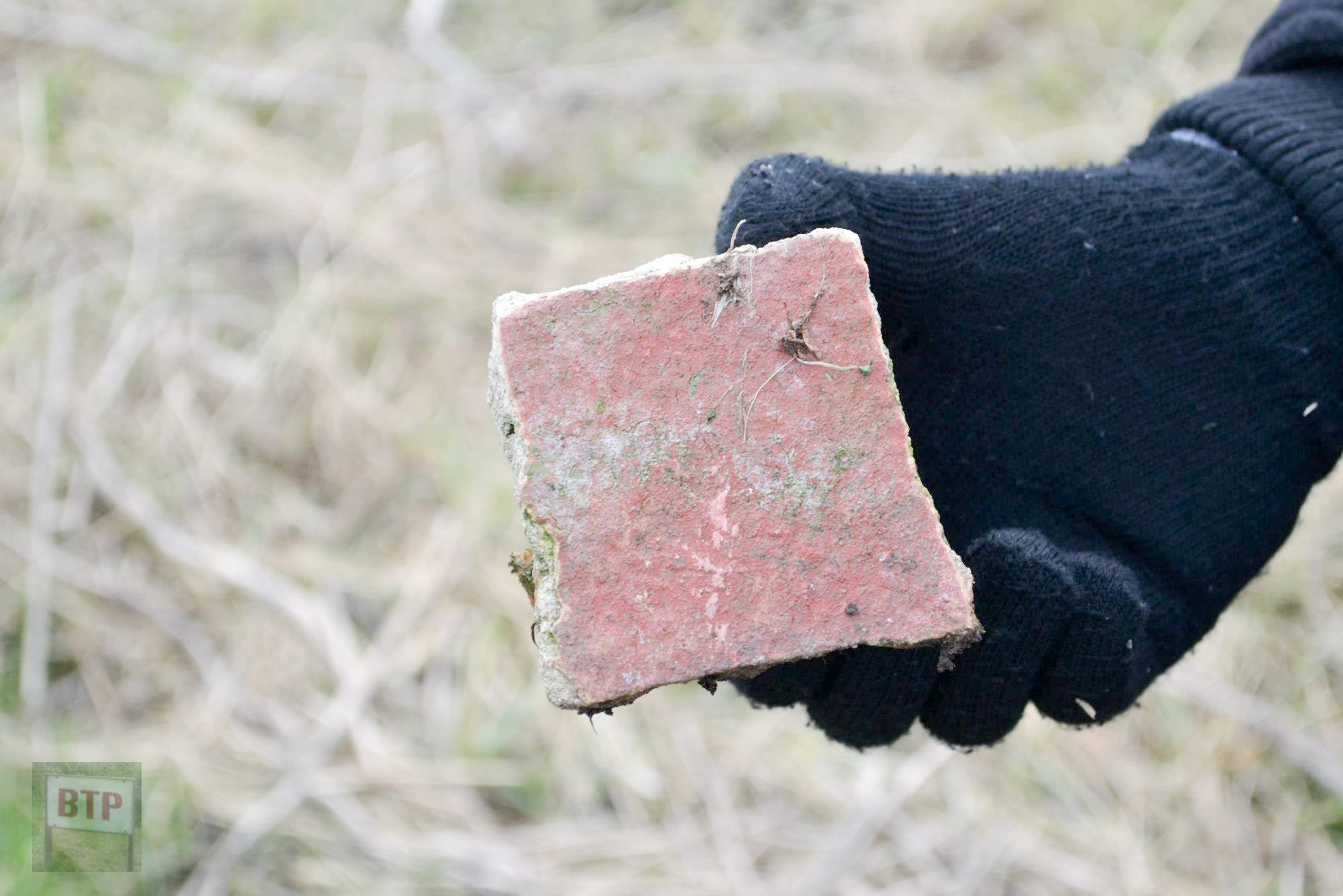
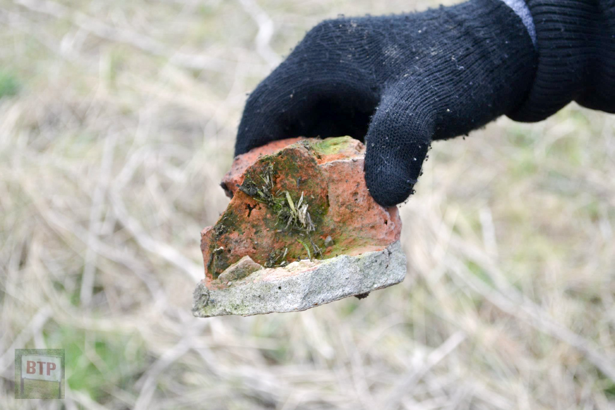
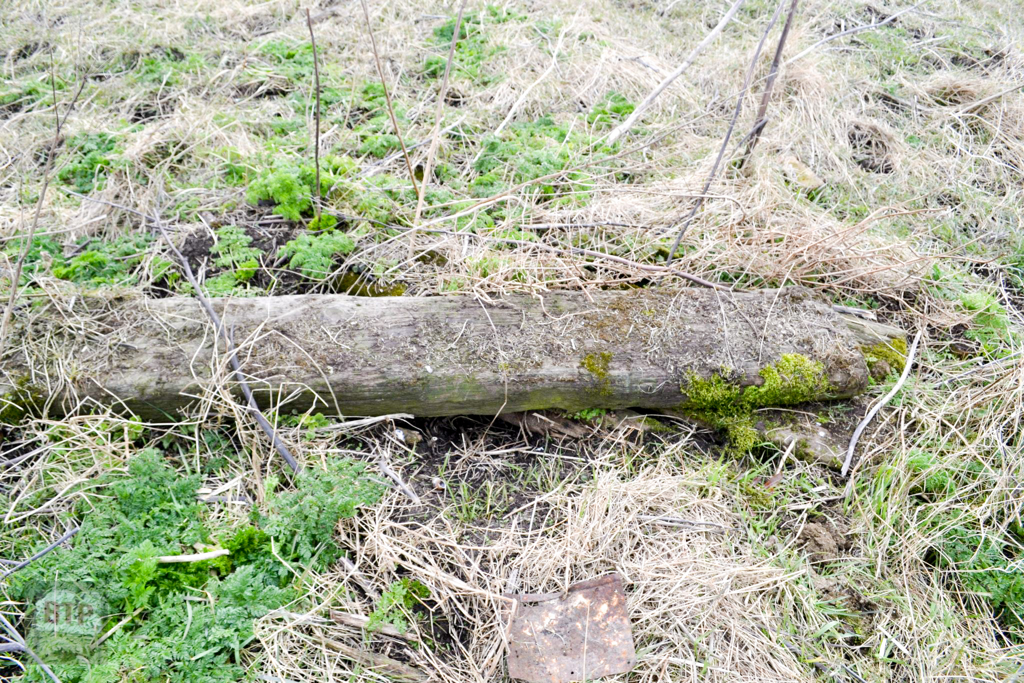
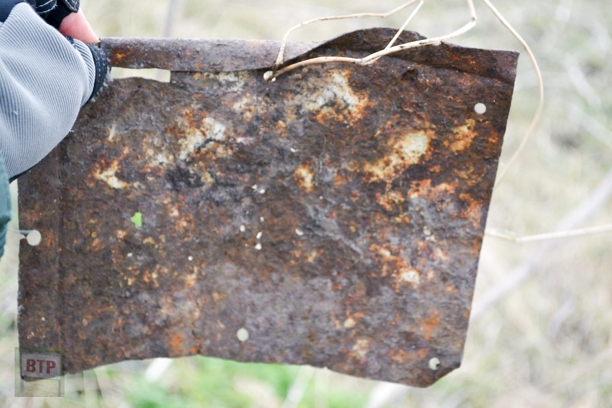
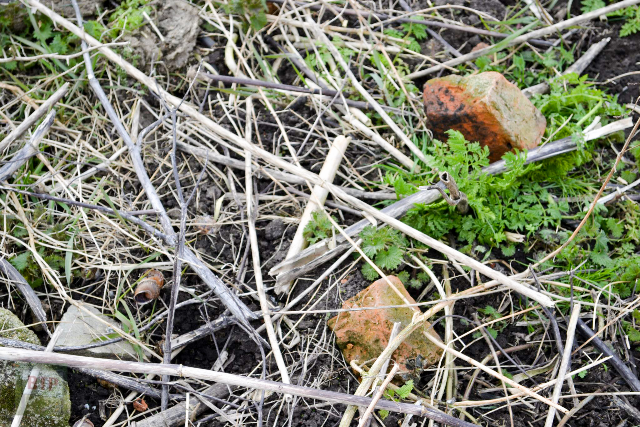
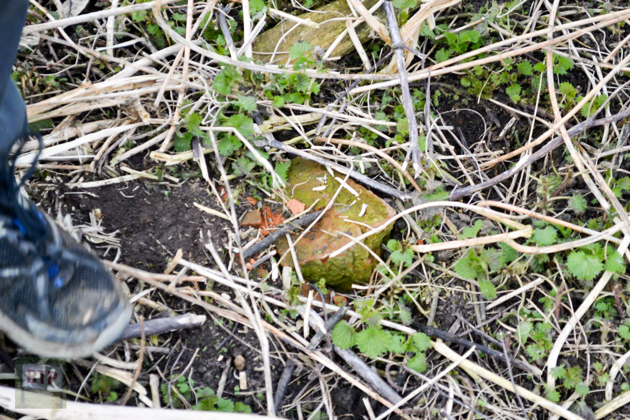
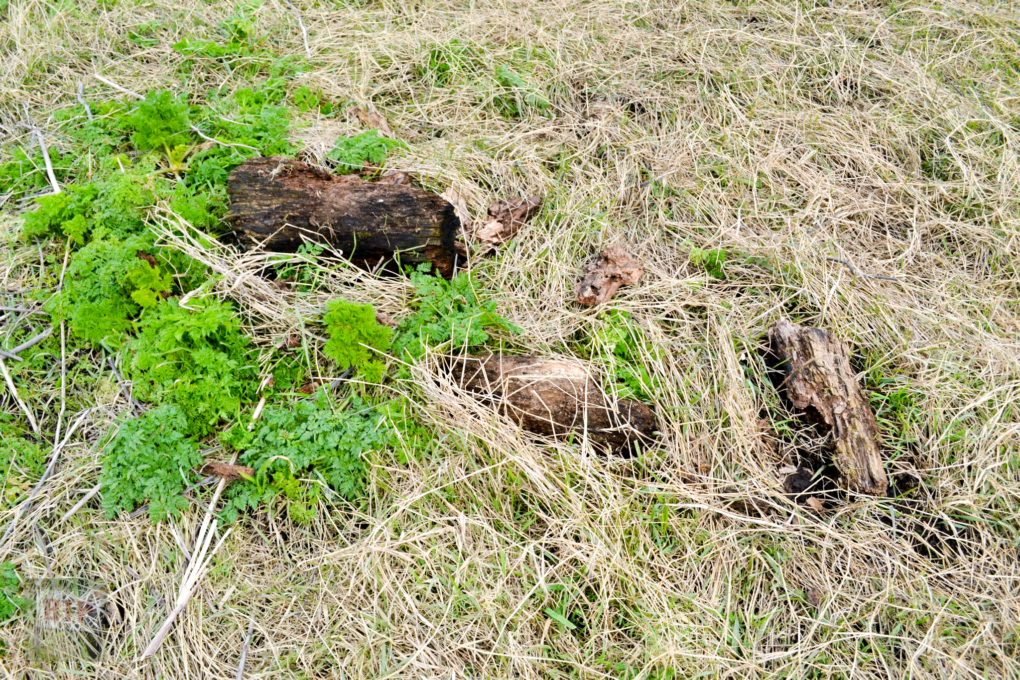
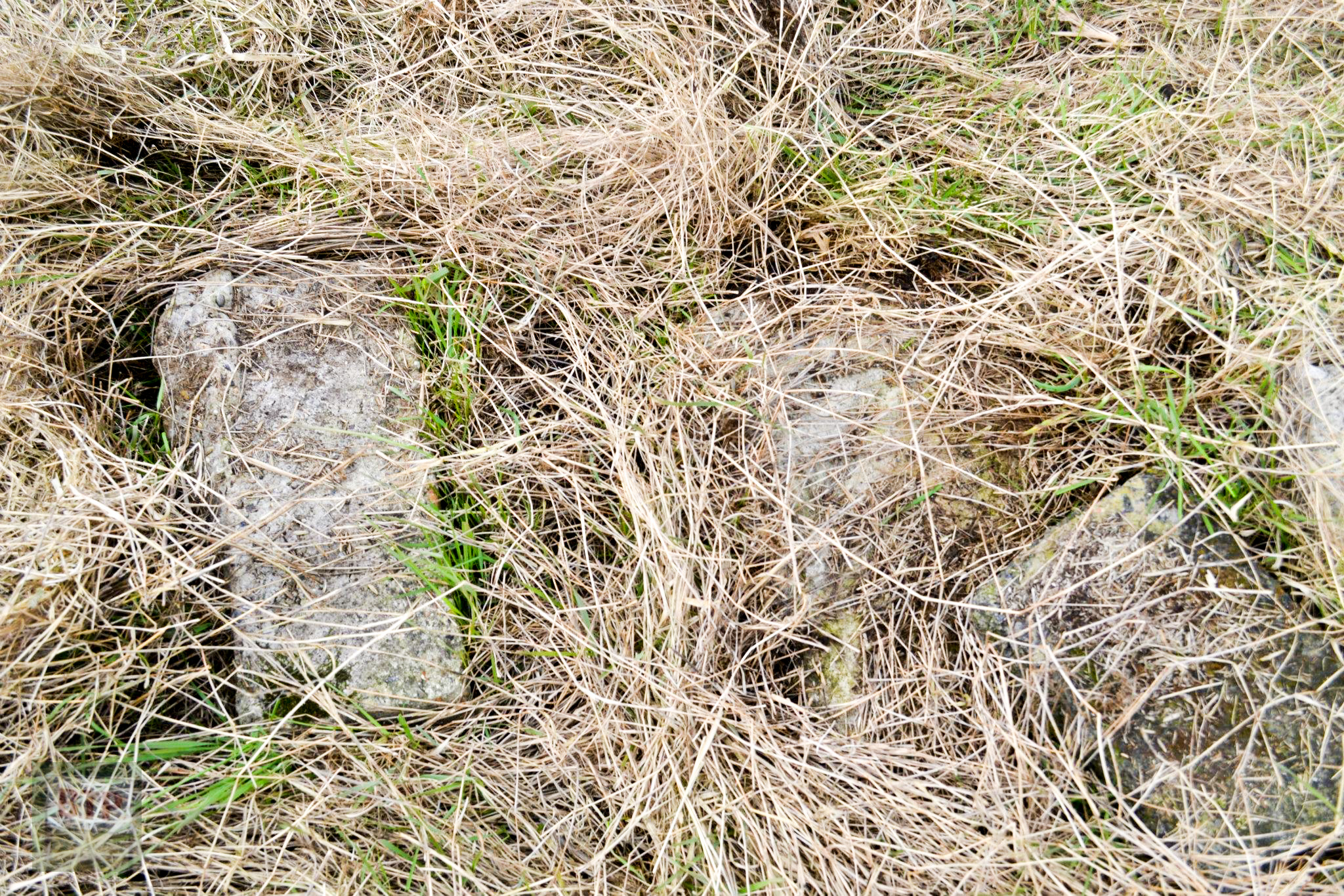
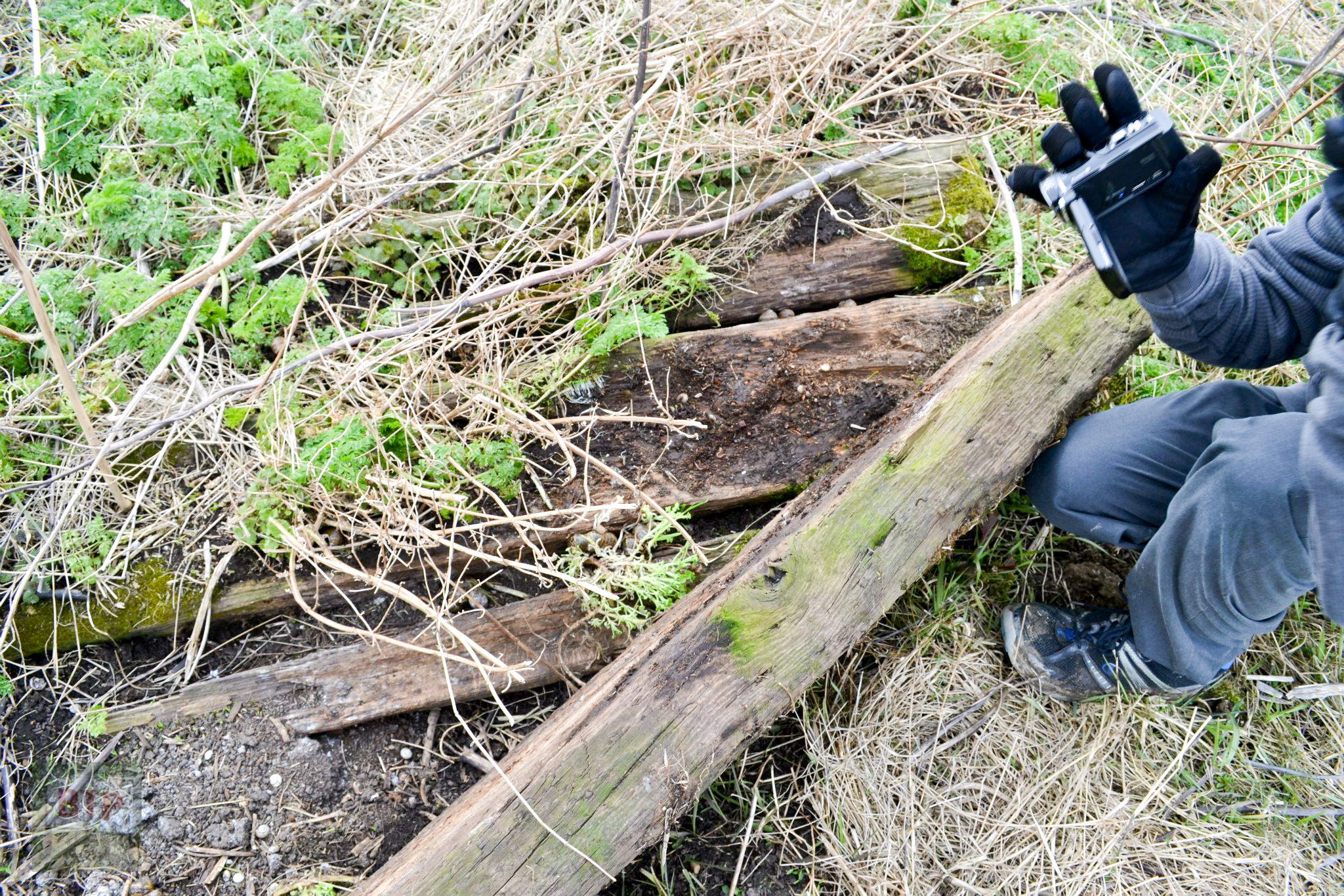
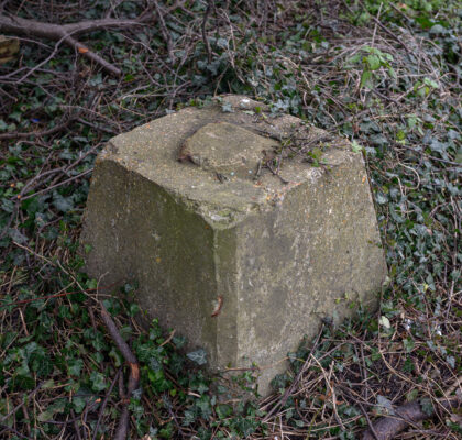
Whether it consisted of some concrete or not, we did find a small sudden mound on the site, which had chunks of concrete lying next to it, which looked old and rough, with small stones in it. We also found some old wood which was certainly rotten, and appeared to have once been a set of shaped timbers, which we know the structure was built from originally. We also finally found some brickwork pieces, which looked like red terracotta brick again. It had a glaze or tile cemented onto one side of it – perhaps from the floor? What the house was made from again remains a mystery, but there is the evidence.
As a final note, I can say this minor expedition was very successful, and remains were established of both farms. It would appear that if you were to remove the top soil from the site for Pantile, the building’s actual wall outlines e.t.c. would be clearly visible. A further investigation will be carried out at a later date now we have further knowledge, and we will come more equipped. This is the first time the remains of Pantile and Tree Farm have been recorded since demolition (or in the case of Pantile, since the aforementioned archaeological dig in the 90s). We are certainly the first to provide pictorial evidence. A video of our discovery will also be featured, and will appear shortly on this page. I will leave you with these two captivating images made using Adobe Photoshop by Sam Hill, who joined us on the trip. He has merged images of the Tree Farm site and the old photo of the ruined Pantile Farmhouse, to create a representation of what it might look like to stumble across one of Canvey’s many old farmhouses, if one stood derelict today. Note this is not specifically meant to depict either of the two farms featured.
This entry was posted in Location Report
