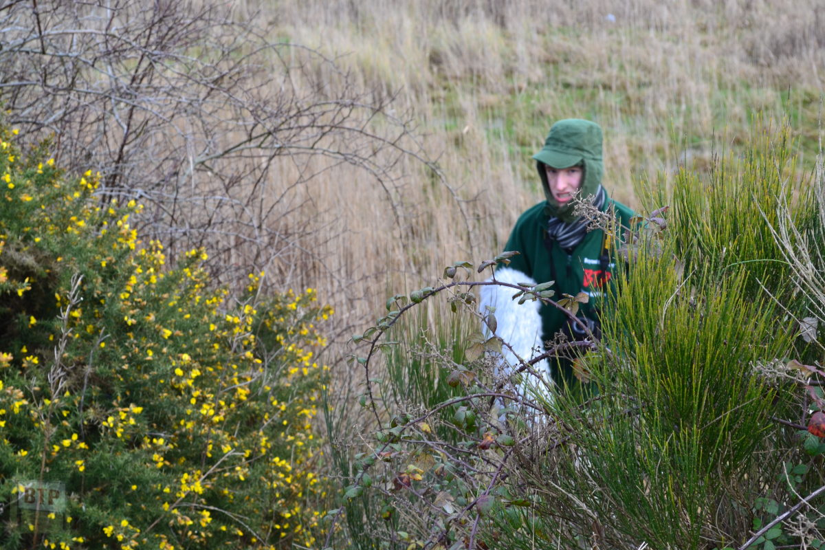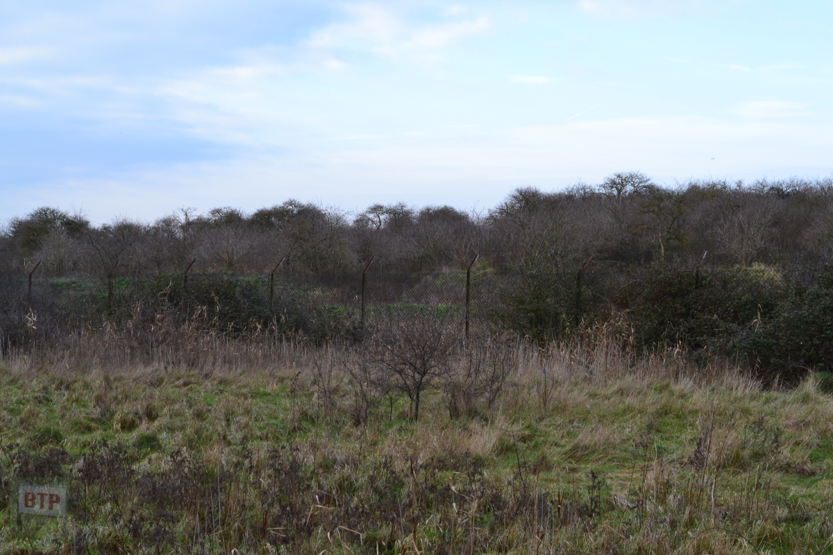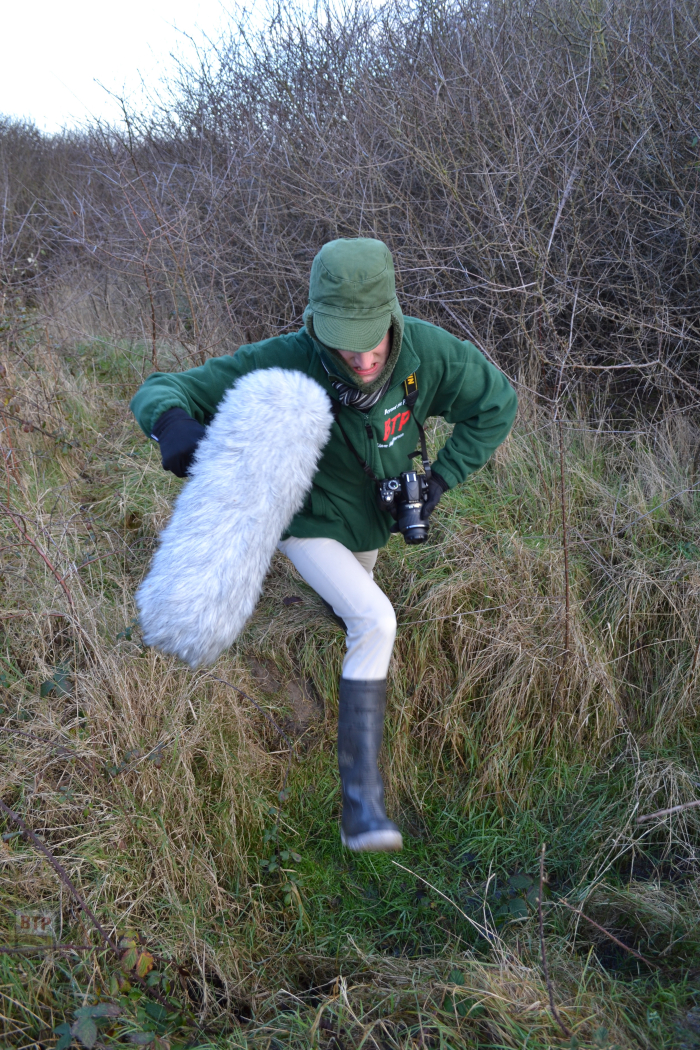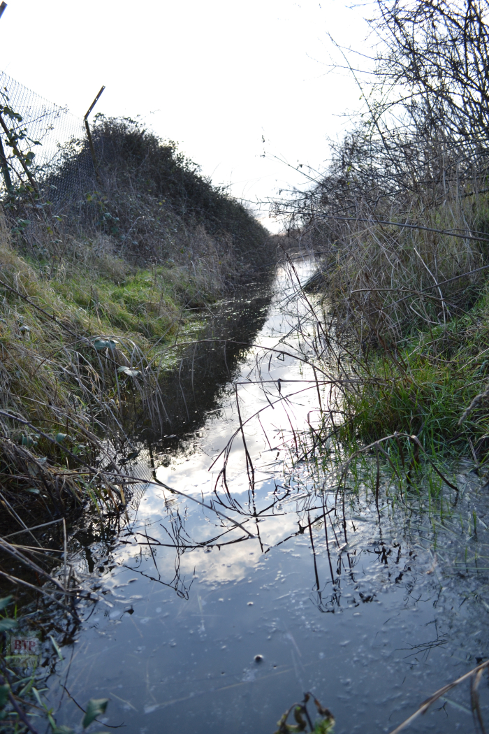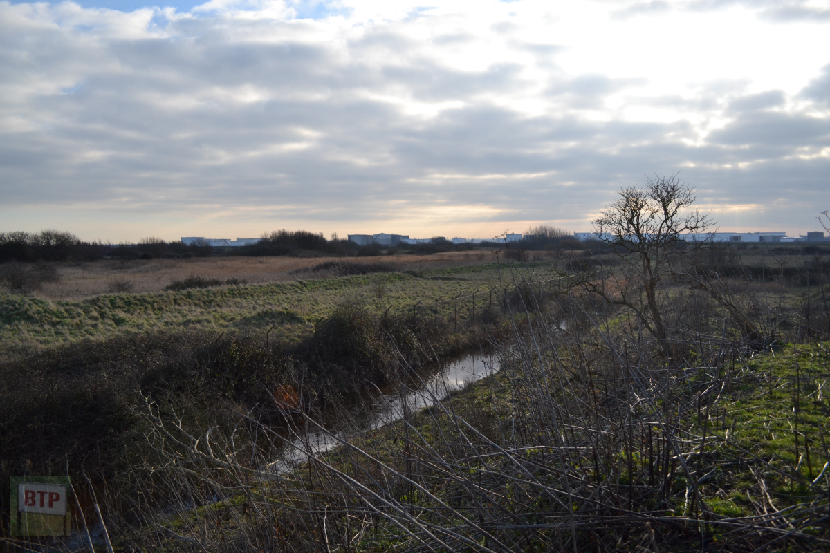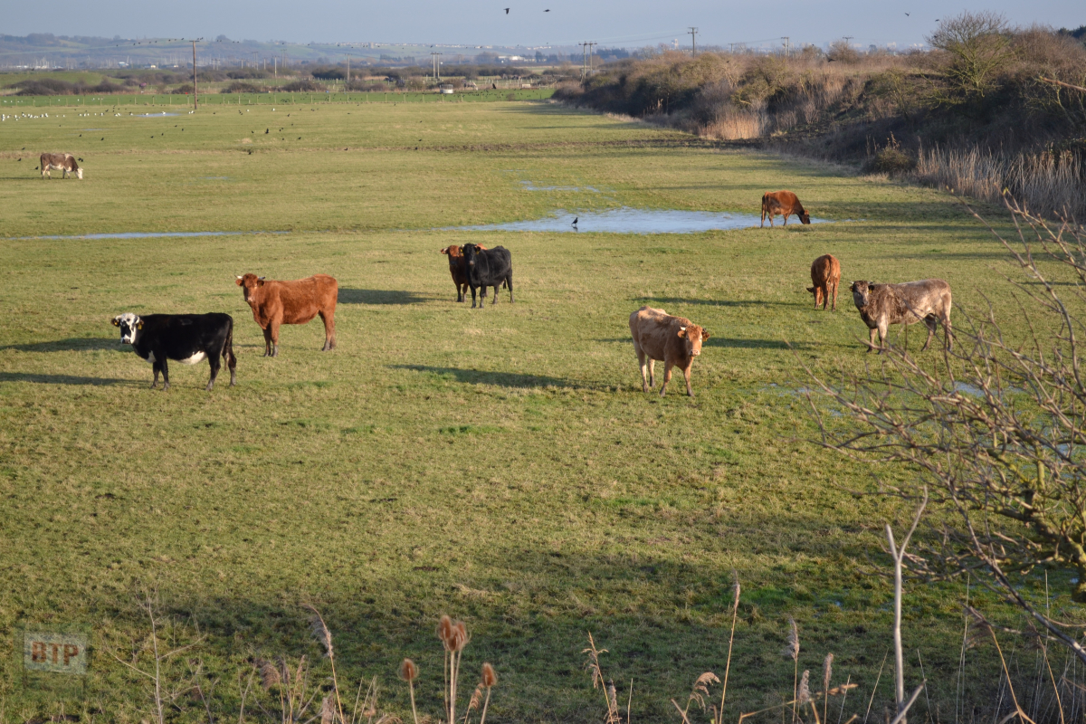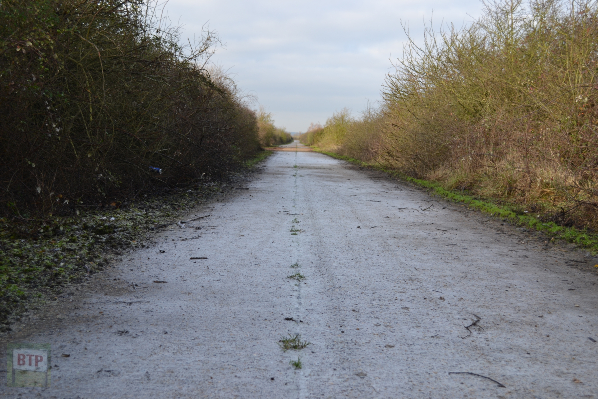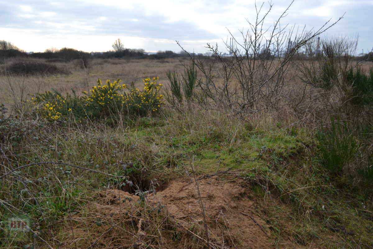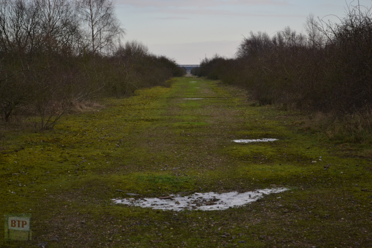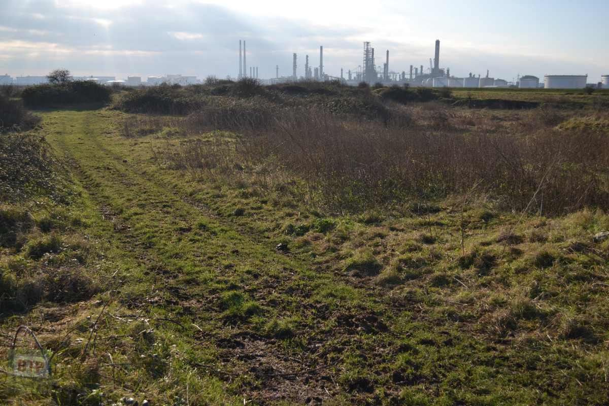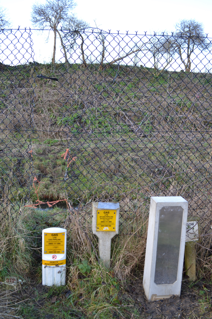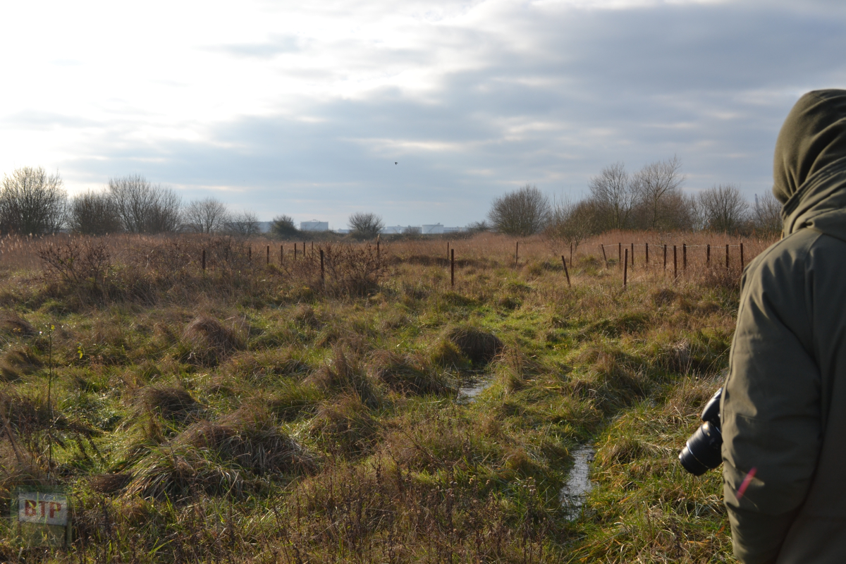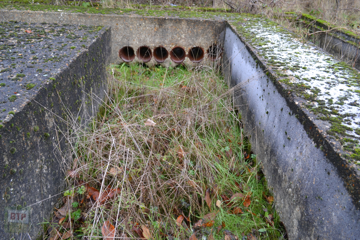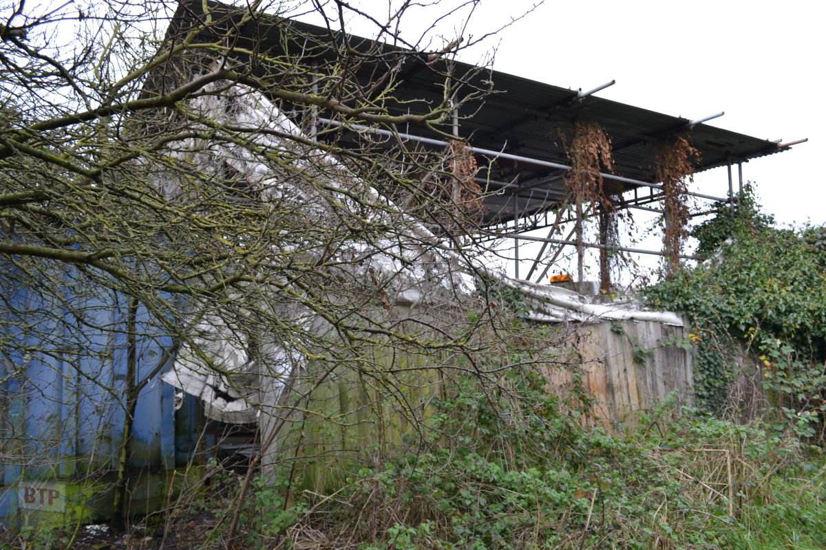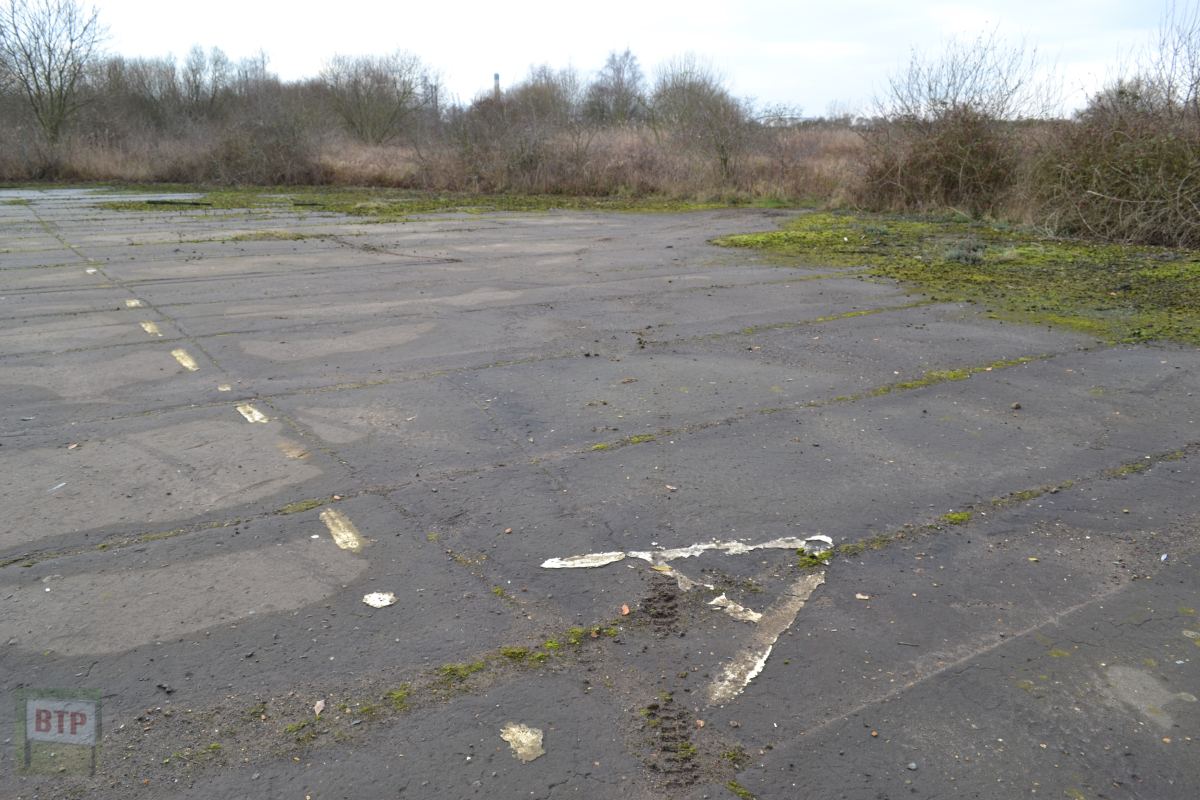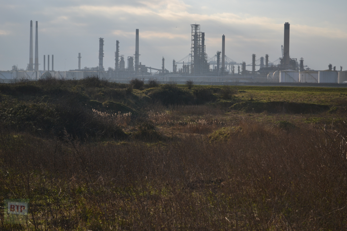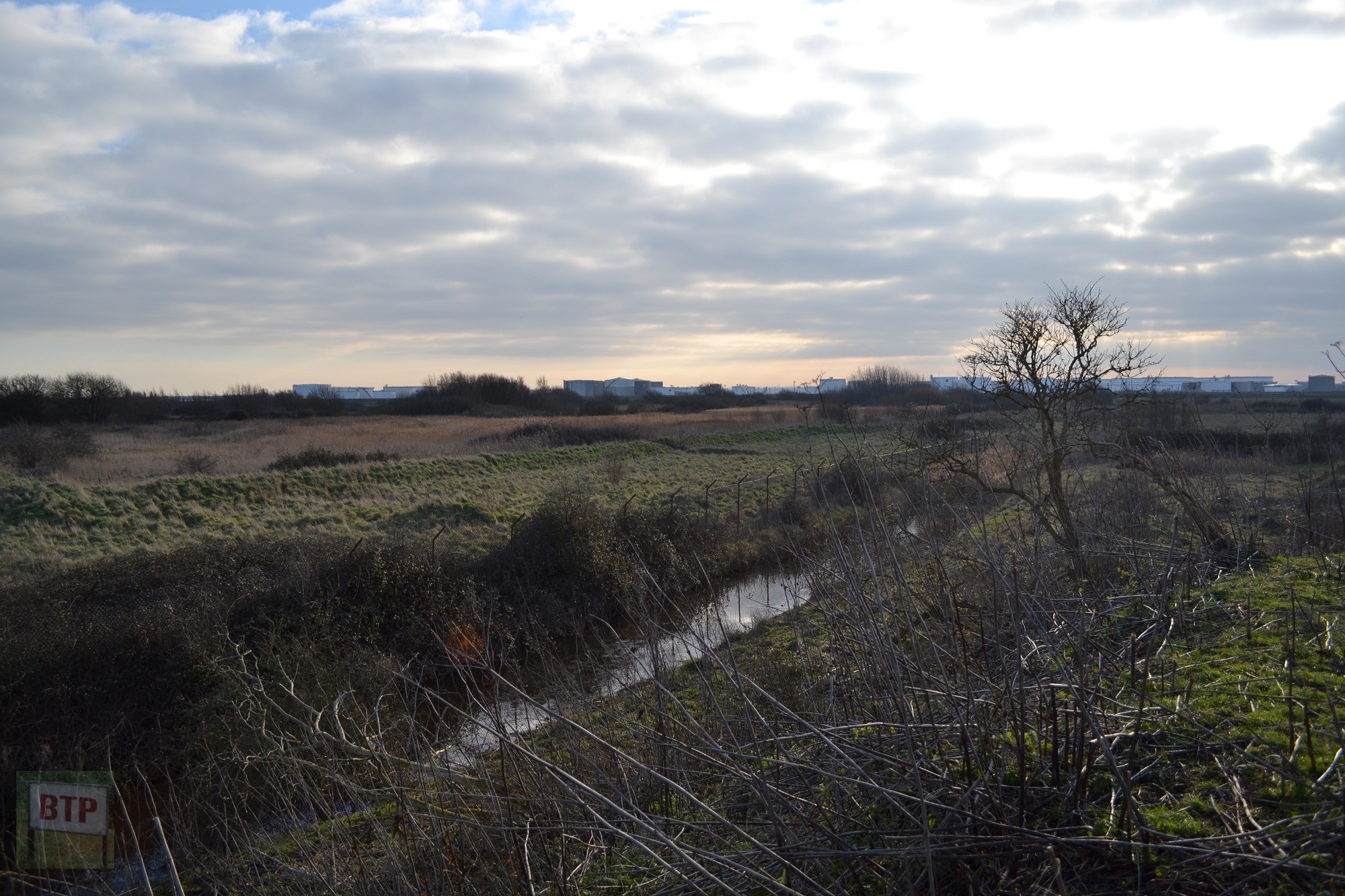


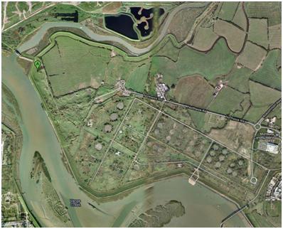
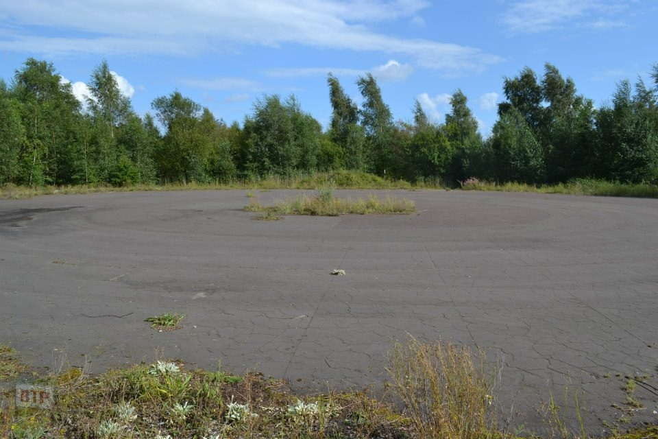
It’s the birth place of Beyond the Point; a location that intrigued and mystified us. The massive site is hidden away on Canvey Island and has been derelict since the 1970’s. Resembling an apocalyptic city-cum-European forest, gridded roads and the occasional lamppost amongst what can be rightfully called Canvey’s jungle serve a reminder of the island’s contentious industrial heritage at this site reclaimed by nature.
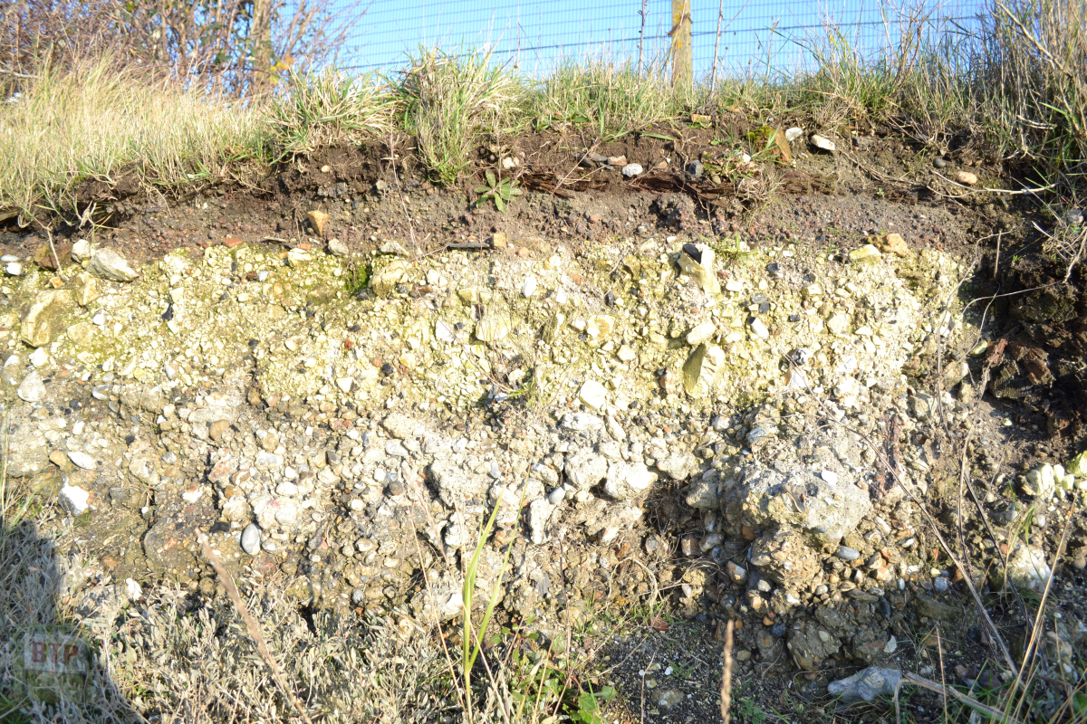
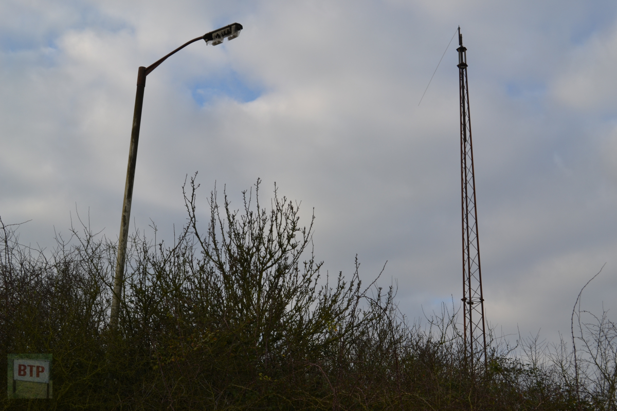
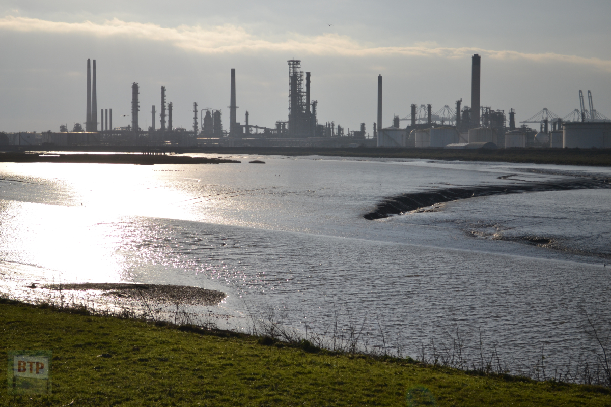
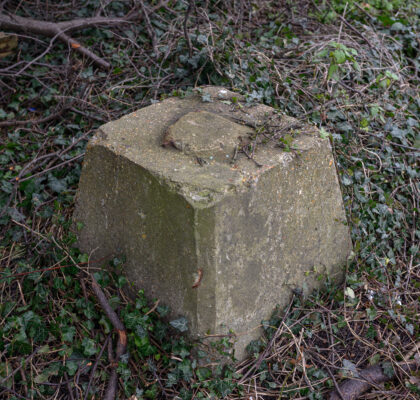
In the early 1970s, Canvey was a target for the construction of a Thames-based oil refinery under American company Occidental Petroleum. The construction took place around 1972-75, although it was abruptly halted by the 1973 Oil Crisis’ financial burden and great protest. These factors caused them to permanently abandon the half-built site around 1980, after several failed attempts in 1977 and 1980 to revive the mothballed infrastructure following health and safety concerns. Acres of ancient farmland was built over to make way for the imported sand, ditches, pipelines, oil drums, jetties, and chimneys which were erected on the site. The legacy of the site is quite ironic, however, as the imported sand made the abandoned refinery a haven for wildlife and it now stands an incredibly prestigious brownfield (formerly-industrial) nature reserve; made a Site of Special Scientific Interest in 2005. In the 1990s there were plans for local billionaire Peter de Savary to turn the ruined site, which makes up around 1/8th of Canvey’s land mass, into a holiday park with water sports e.t.c. However the fact it was a hotspot for nature began to be brought to attention and hence this did not go ahead. The oil drums, chimney, and other significant structures were removed in 1996/7 when Sainsburies bought the site (now Morrisons to the south of the site). Fred Dibnah was called in to take down the chimney. The site still holds vast road networks and three jetties, reminiscent of Chernobyl, and is incredibly eerie and quite eclectic for its mix of nature and industry. Lamposts existed alongside all the roads right up until the 2010s when they were cut down and their bases still remain. At least one of them still stands albeit more tucked away. The eastern half of the site has been somewhat sterilised and made accessible to the public with its conversion into RSPB Canvey Wick with a carpark being added down Northwick Road, opening up what was once an extremely isolated place. However, the western half remains a abandoned wasteland where one wouldn’t be surprised to find a few wolves emerging from its forest-like terrains! The site continues to fascinate us as to how so much industry was incorporated into this space which remains today as a predominant natural environment almost entirely reclaimed by nature, rather than a concrete or tarmac resurfaced urban wreck as one might expect.
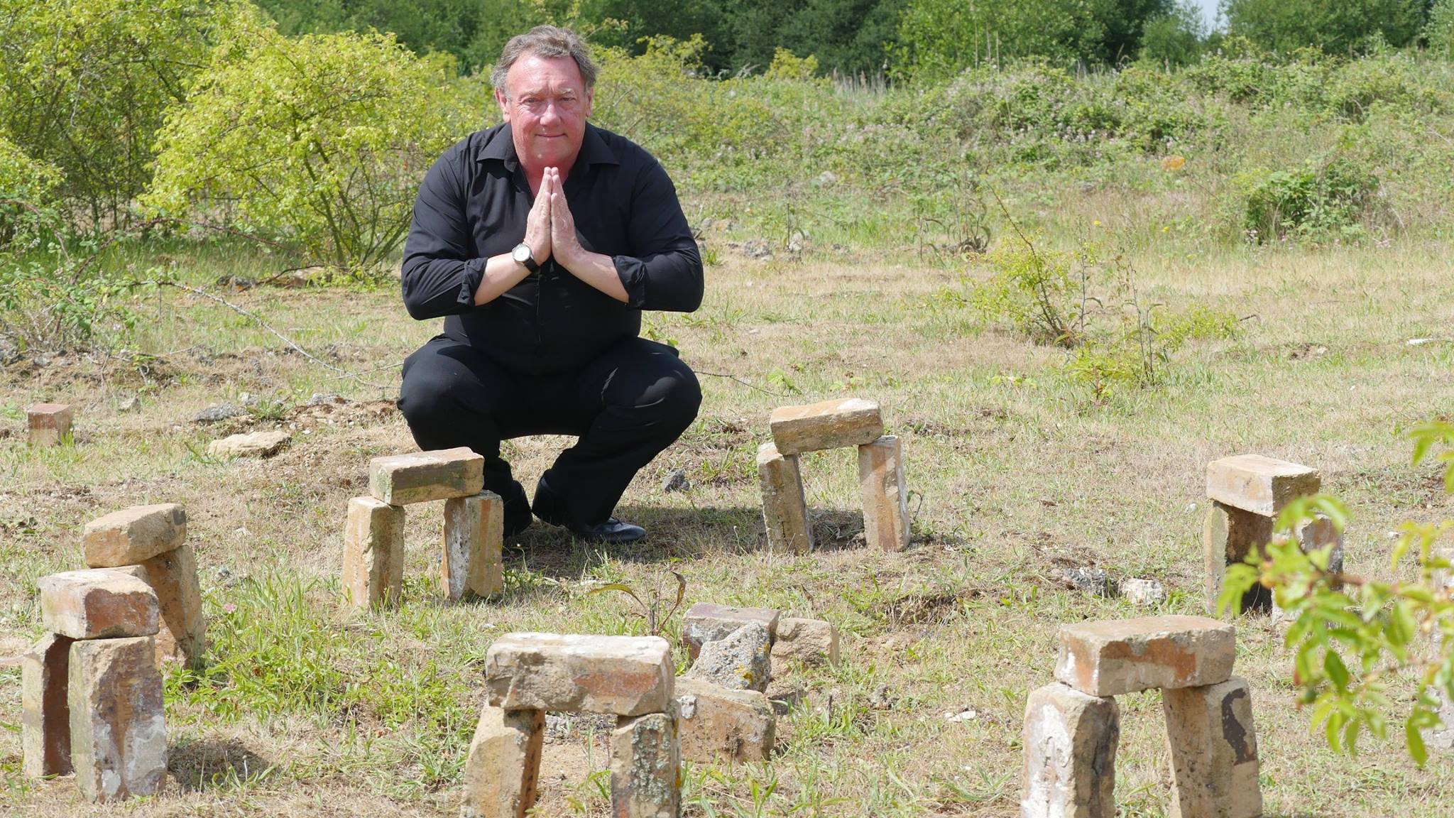
Exploring the ‘Oil City’ chimney site with Chris Fenwick of Dr. Feelgood in 2015:
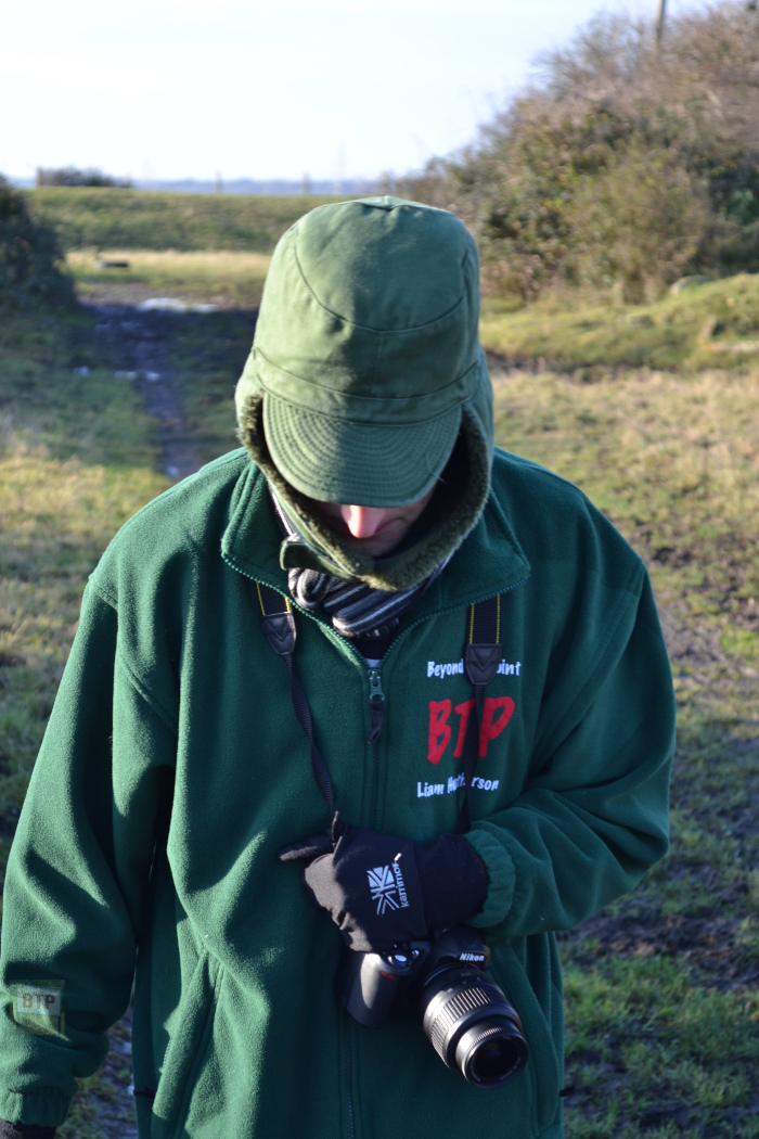
In 2015 we visited the Occidental refinery site with none other than Chris ‘Whitey’ Fenwick; manager and so-called ‘5th member’ of Dr. Feelgood both original and present. Fueled by the ‘Oil City’ fantasy present in the band’s music, we decided to explore the reality behind Canvey’s industrial past. We visited the site of the chimney which collapsed just a day before Fred Dibnah was due to demolish it in the 1990s, to try and understand more about the site.
This was a thoroughly enjoyable visit. On the way back home we stopped where the Down by the Jetty album cover was taken near the Lobster Smack inn. We met two orthodox Jewish men visiting Canvey to consider it as a place to move their community from Startford. The community now thrives on Canvey today and this meeting with Chris become the conception of his excellent documentary produced by the BBC on the Island; Canvey: The Promised Land.
Contemporary Photographs and Plans:
Aerial Construction Photographs
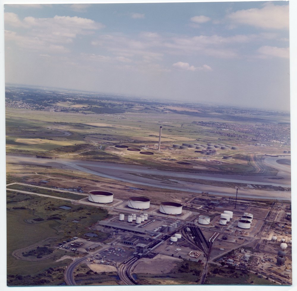
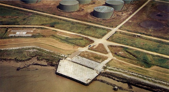
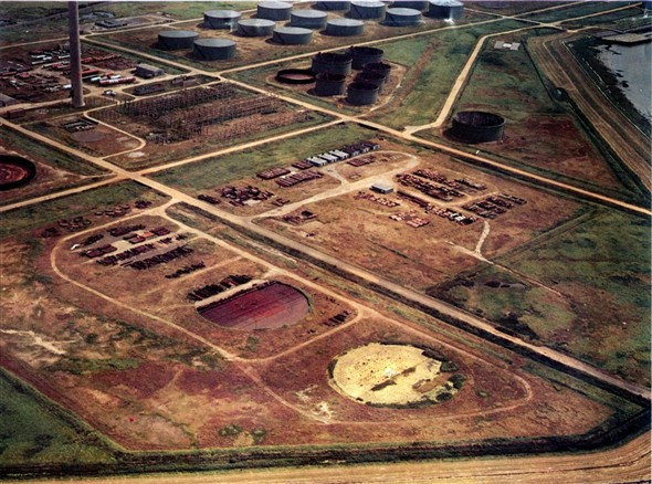
These photographs, with thanks to the Canvey Community Archive, depict the refinery during and around cessation of its construction. The colour aerial photographs looking over Coryton refinery were taken in the late 1970s.


Construction Photographs
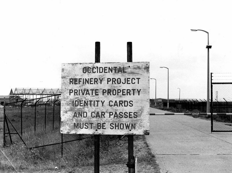
These photographs, with thanks to the Canvey Community Archive, depict the refinery during and around cessation of its construction. Many of the monochrome images come from the Echo Newspaper Archive digitized by the CCA.
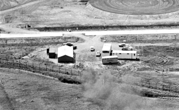
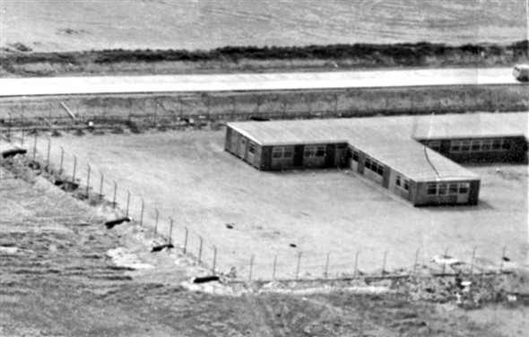
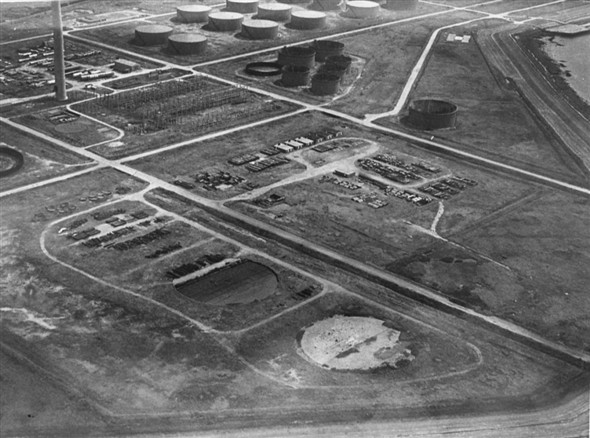
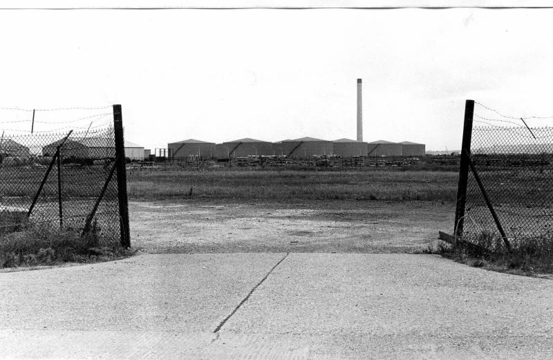
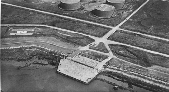
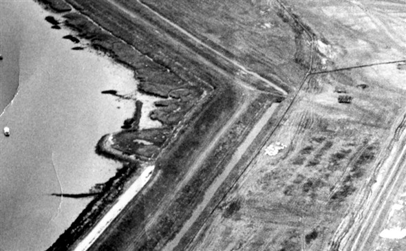
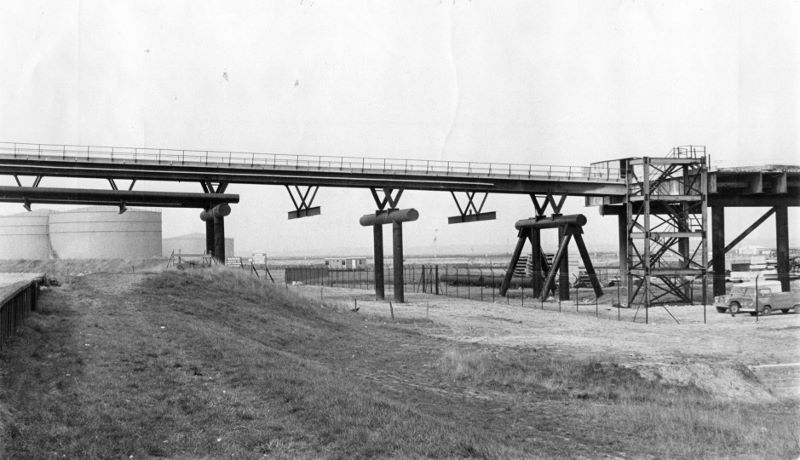
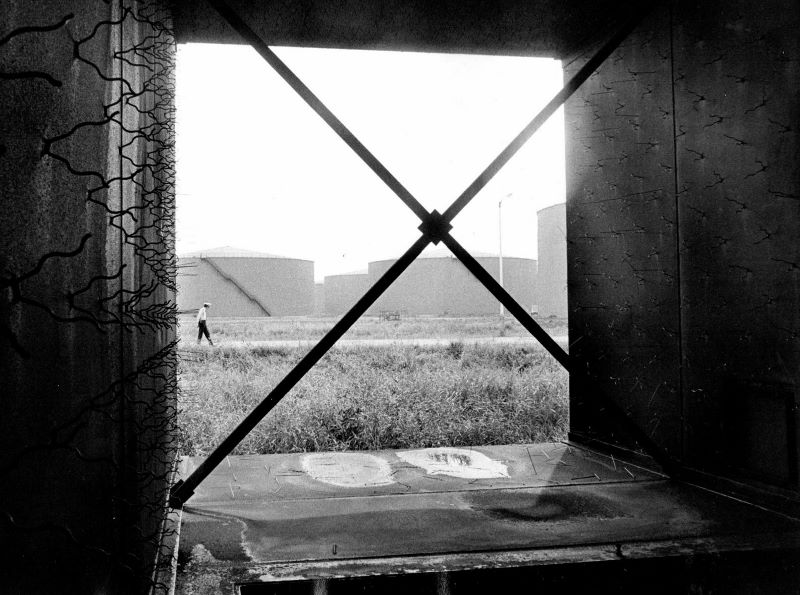
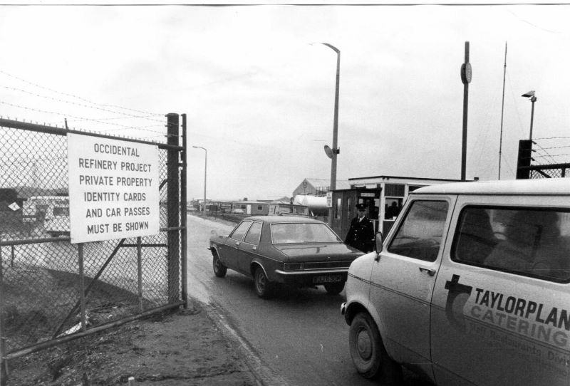
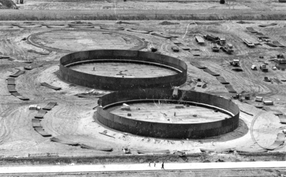
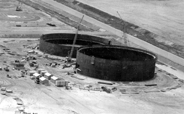
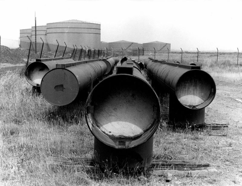
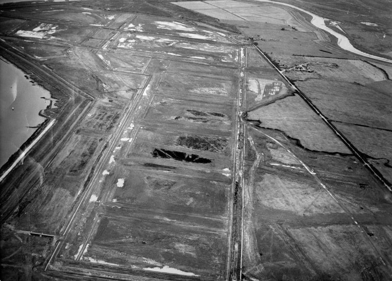
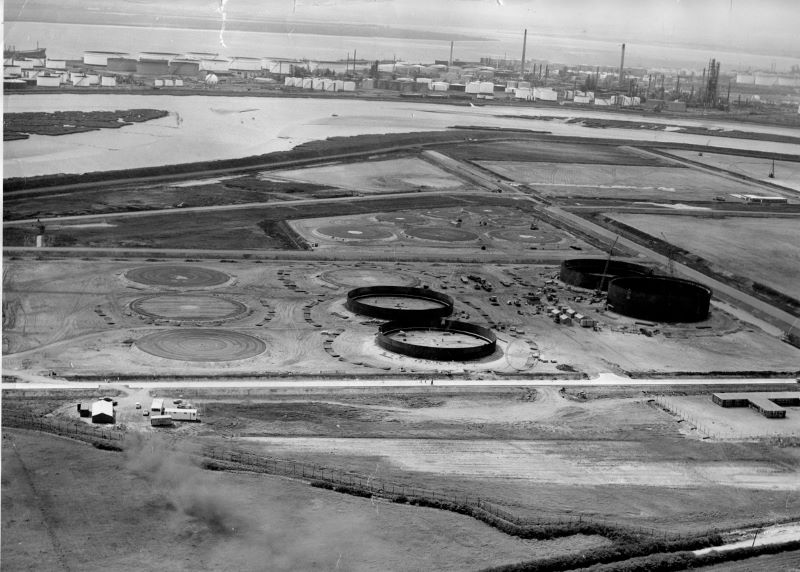
Photographs Post-Abandonment
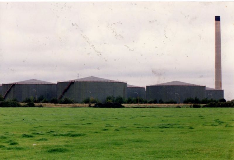
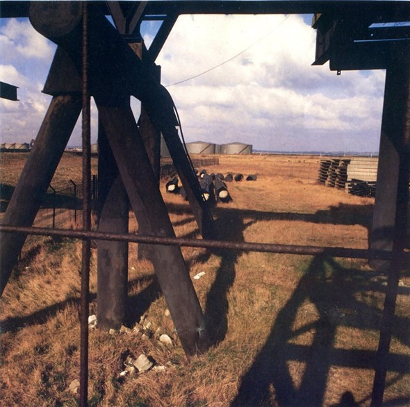
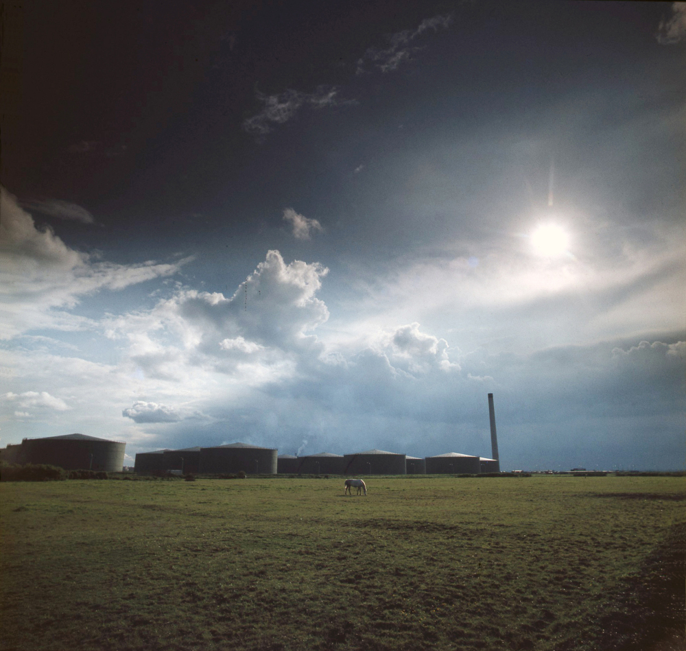
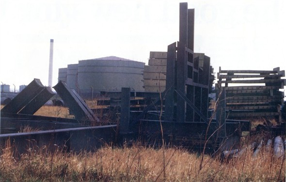
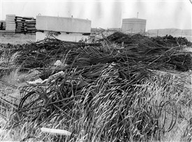
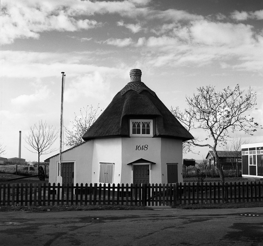
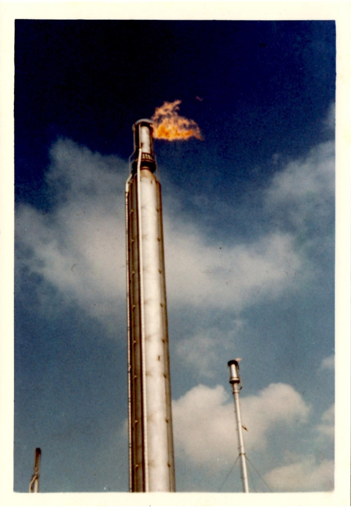
These photographs show the refinery in the 1980s and 1990s after abandonment, prior to the removal of the oil drums and chimney. As explorers born around the time of their removal, we find ourselves incredibly frustrated that we were not able to see the ruined refinery in this intact state – those steps up the sides of the drums look rather tempting! The area around the jetty looks fairly unchanged today, albeit far more overgrown. The shots taken of the unused jetty pipes and slabs and stockpiles were found by David Bullock, and taken in the 1980s. The colour aerial shots of the rectangular construction jetty and unfinished drum bases are also probably from the 1980s. The close-up of the oil drums was taken in 1997 courtesy of Oneblackline’s Wikipedia contribution. We would love to see the rest of the set of these photographs. The shot with the drums and chimney behind fields, and of the Dutch Cottage with refinery left in the background, were taken by local author Robert Hallmann.
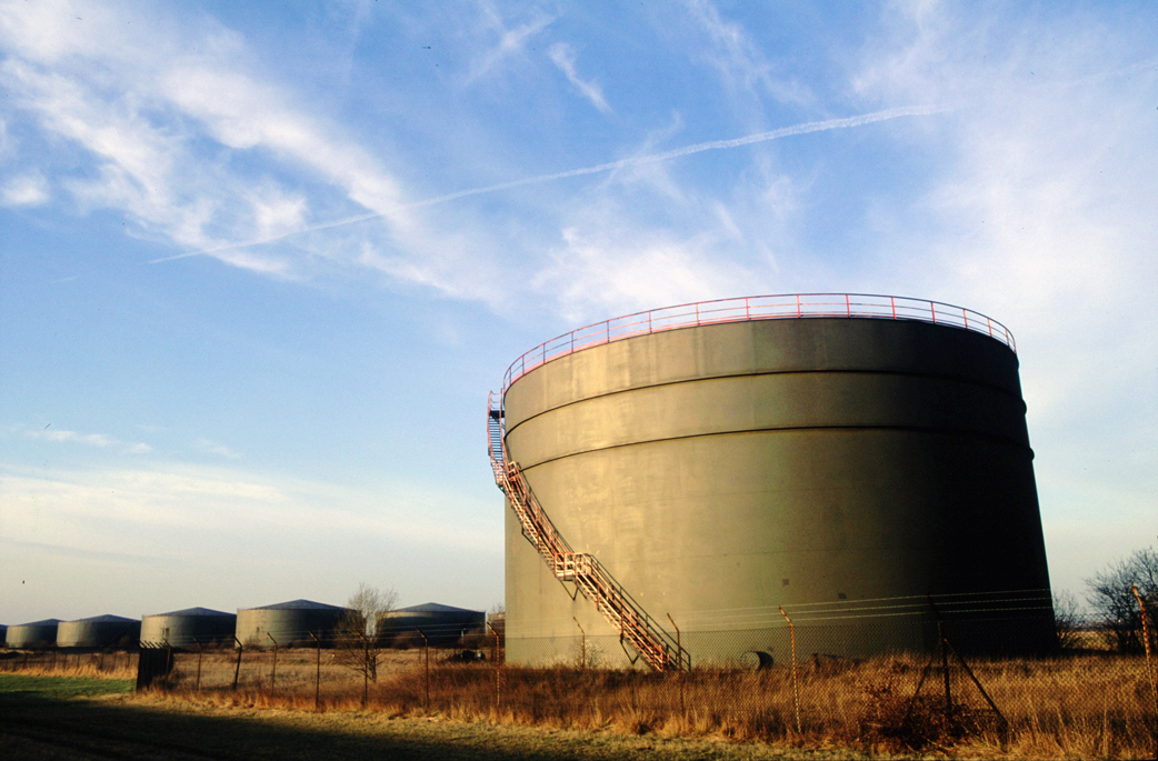
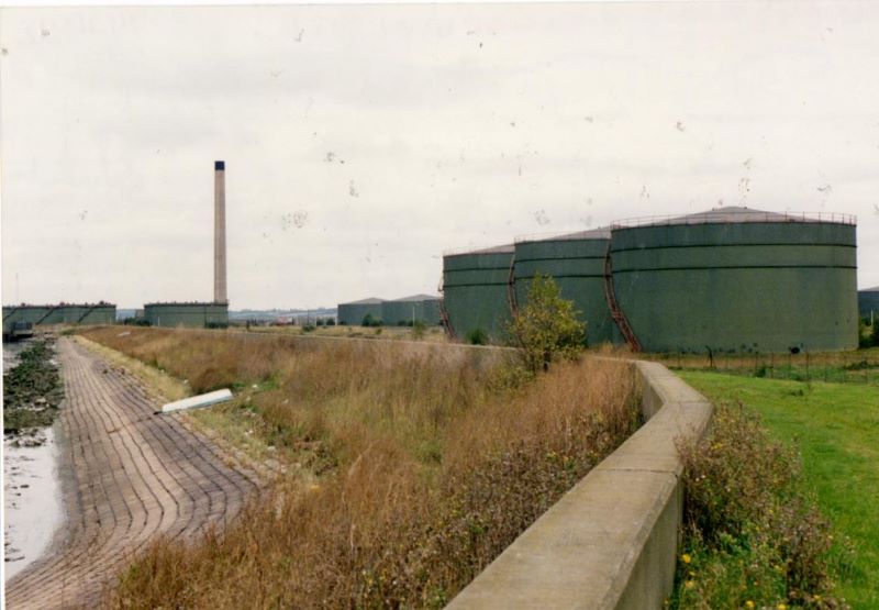
Foster Wheeler Contemporary Plans
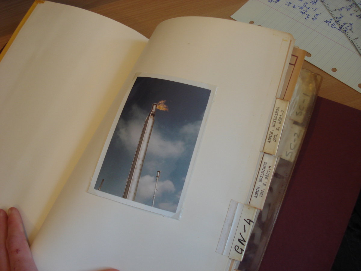
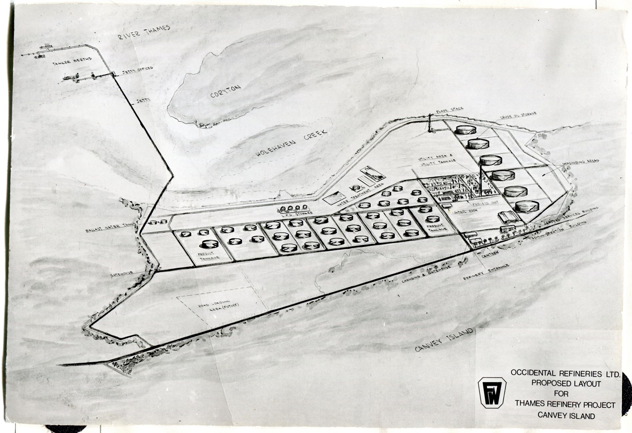
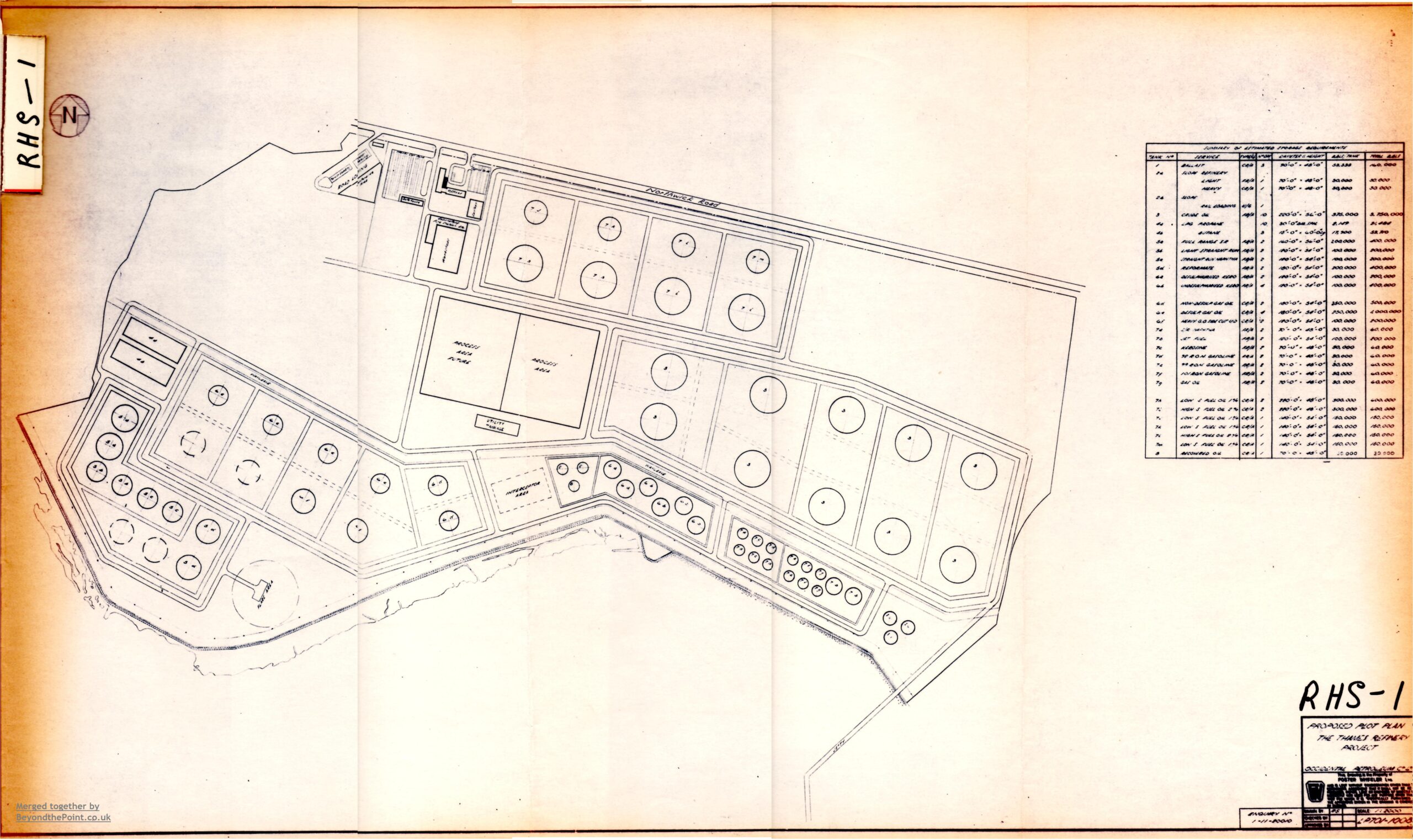
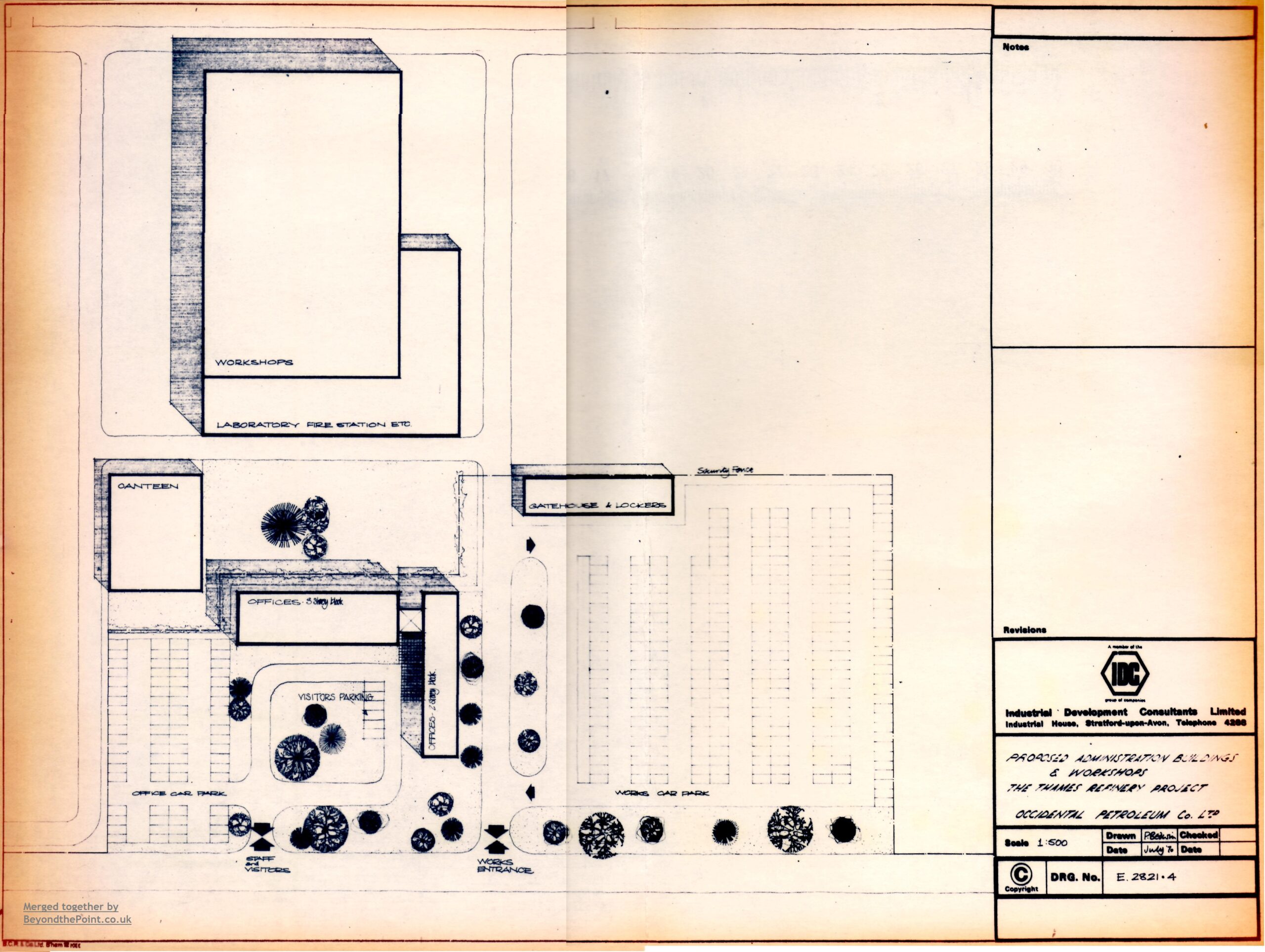
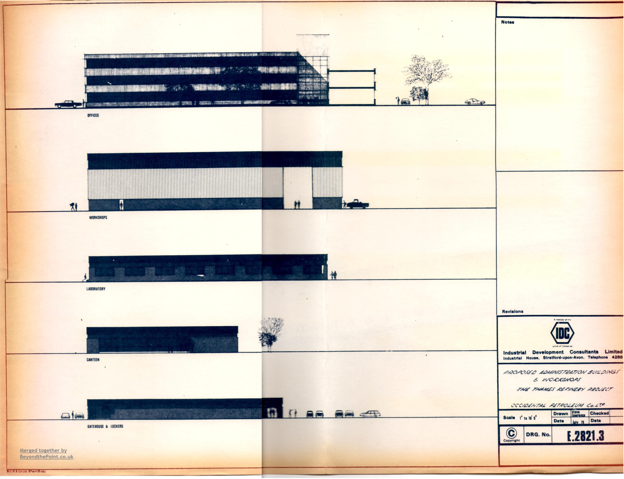
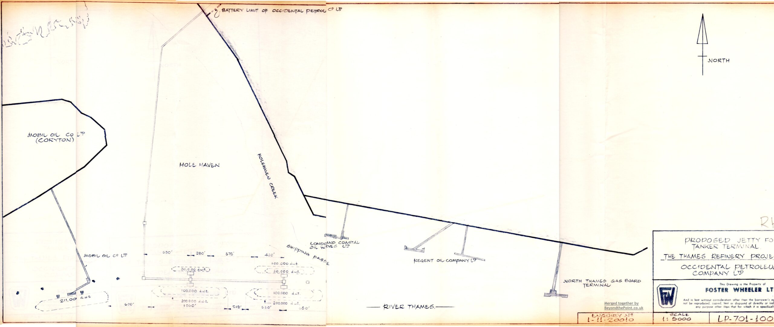
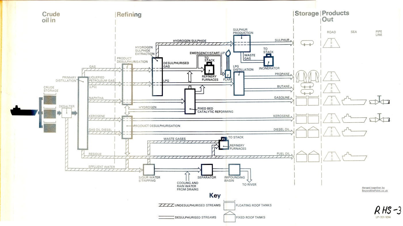
Thanks to Graham Stevens for lending us this folder of documents produced by Swiss engineering company Foster Wheeler. The folder contains several fantastic plans of Canvey’s Occidental site and jetty. It provided valuable historic information, revealing that the jetty remaining today was once planned to be much longer at the end, and remains incomplete. Some of the other maps and plans detail the piping for the various containers, Gas Liquid Chromatography maps (whatever those are!), diagrams of the various administration offices, canteen, carpark, and worker’s quarters which would’ve been placed in the north of the site, and their height comparison to a worker. These documents have given ourselves and other local historians an important insight into what would’ve been if the refinery hadn’t been aborted. With the jetty and layout of the refinery appearing differently to their actual construction which can be seen today, it is likely that these plans were merely initial propositions and that the actual format of the site changed subsequently. Alternatively, these plans could have been made later in the 1970s as part of Occidental’s failed attempts to revive the abandoned refinery. The plans were undated so this remains ambiguous. You can see the images below, that we spent many hours combining from several photocopied segments of the documents.

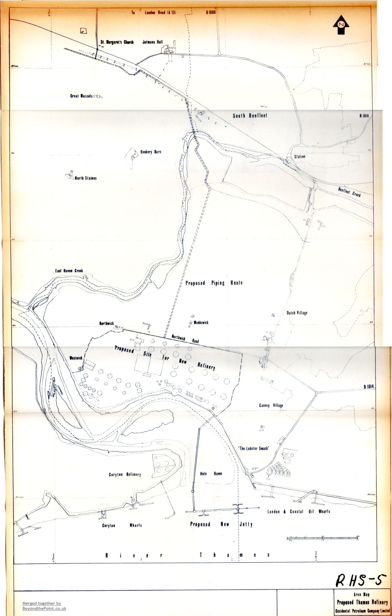
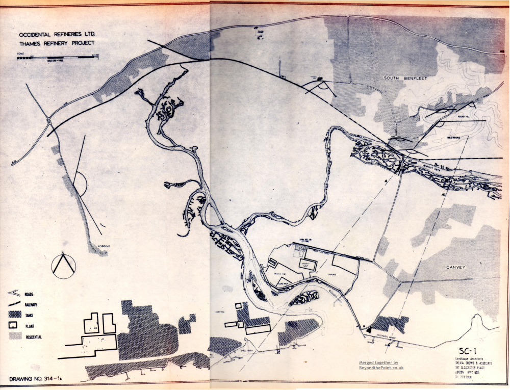
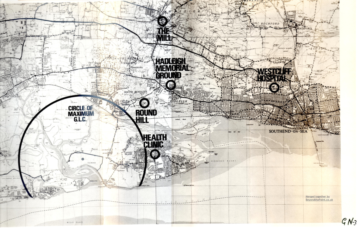
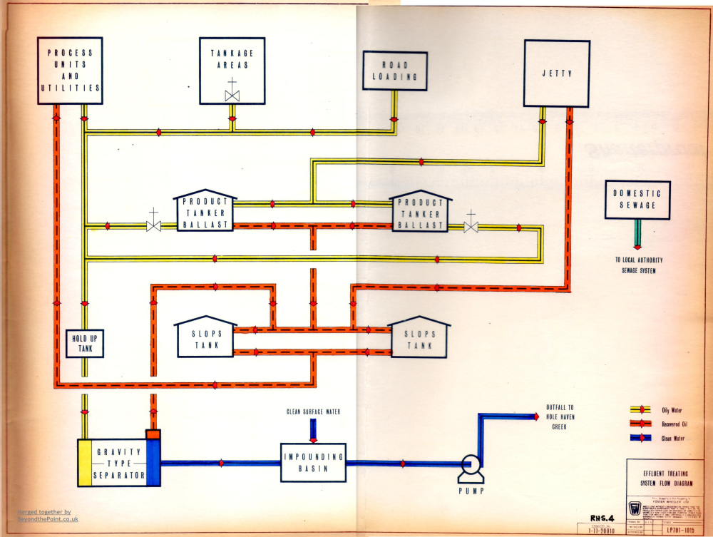
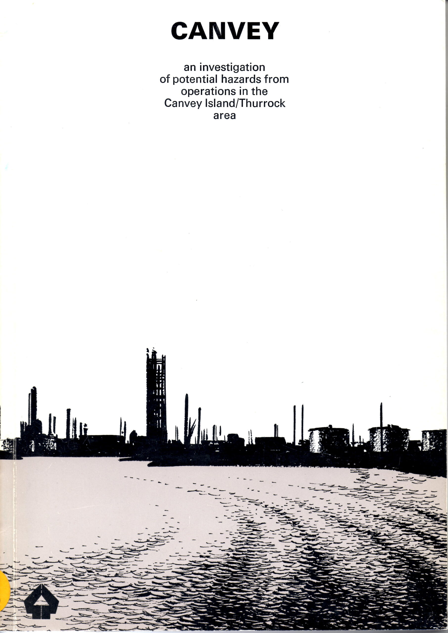
Potential Hazards Report
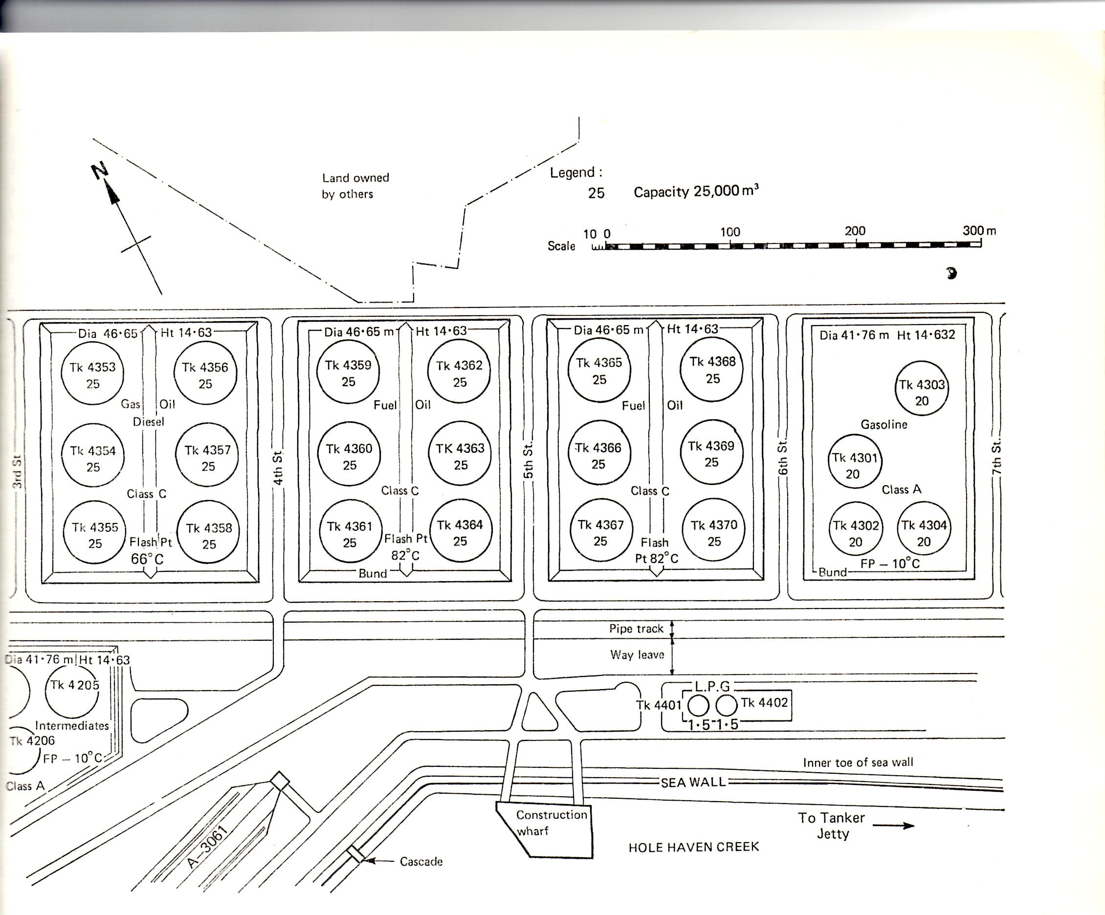
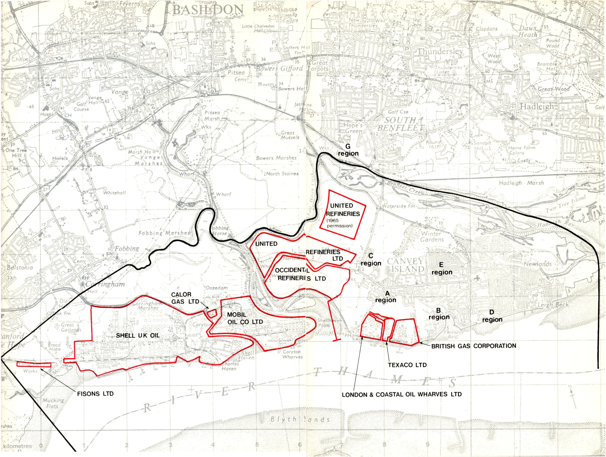
I managed to acquire a report book entitled ‘Canvey: An investigation of potential hazards from operations in the Canvey Island/Thurrock area’. Whilst it would have served an important role in assessing the safety of the refinery site, it is arguably the most boring book of all time, with 90% of it containing tedious graphs and statistics on the possible harm the Shell, Coryton, Occidental, and United Refineries, and one small one in Standford-le-Hope, plus the Calor gas terminal on Canvey, could do if an explosion or disaster happened there, mainly to the surrounding population. It did however contain something more interesting – a very detailed map/plan of the middle portion of the Occidental Refinery. It has great detail from road, bunds (blast mounds/earthen containers for the vessels), drum dimensions, the construction jetty, and more. This is exactly what we are looking for. If we had the entire refinery in his format, then the mystery of the constructed components of this place which survive today as mysterious ruins would be more or less solved.
Below are some of our blogged adventure recollections of exploring the site taken from our old Beyond the Point website:
Early 2011 Adventure
May 2011 – Pre-BTP visit to 3rd emergency road area
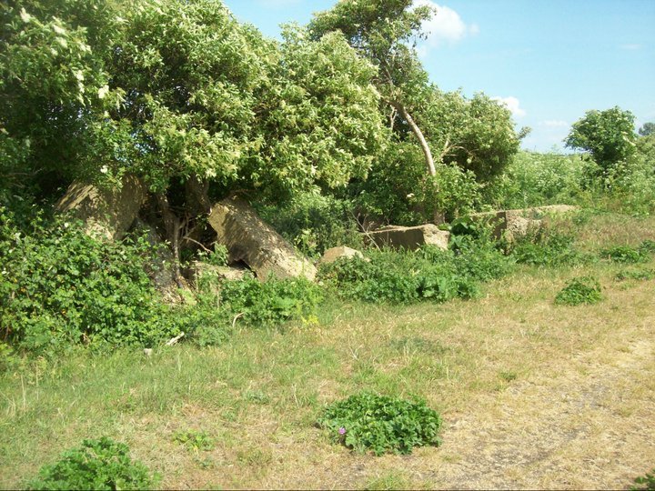
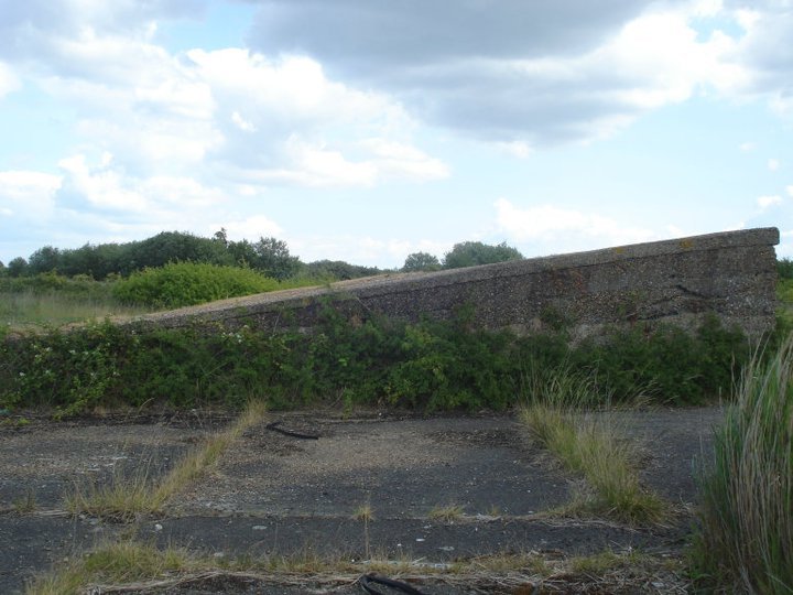
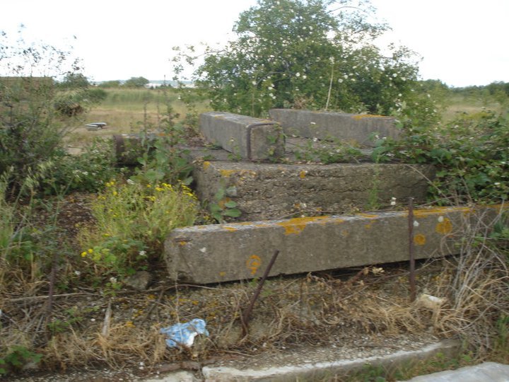
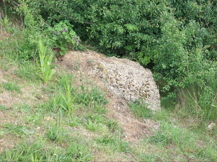
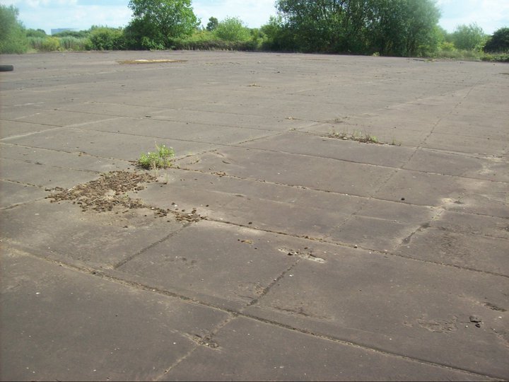
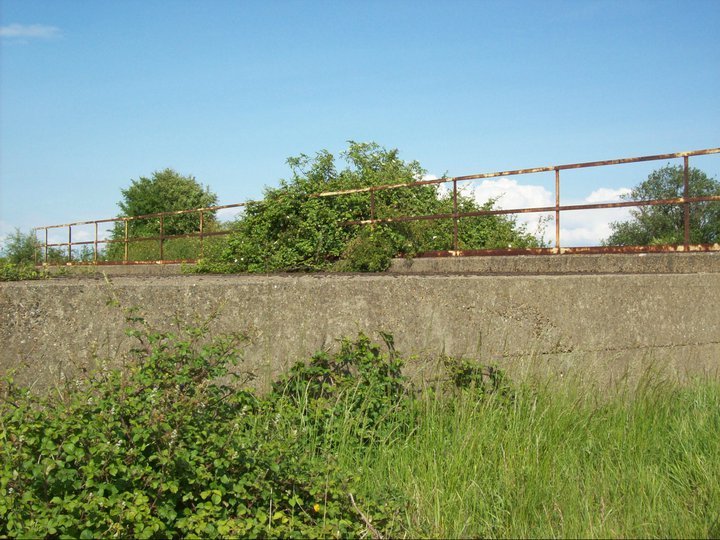
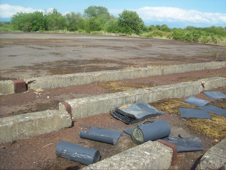
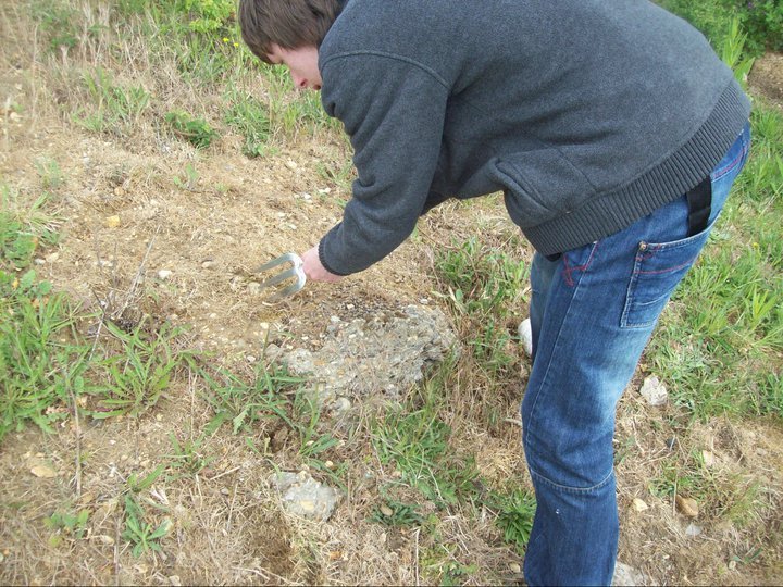
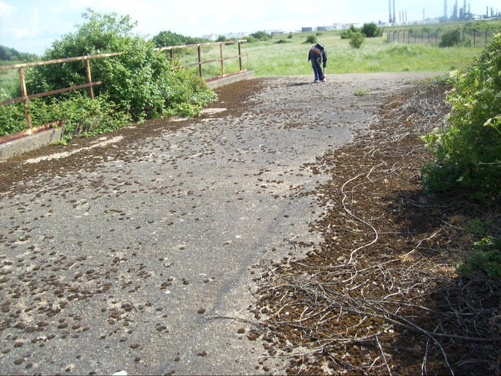
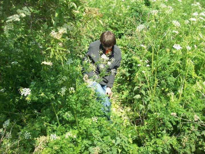
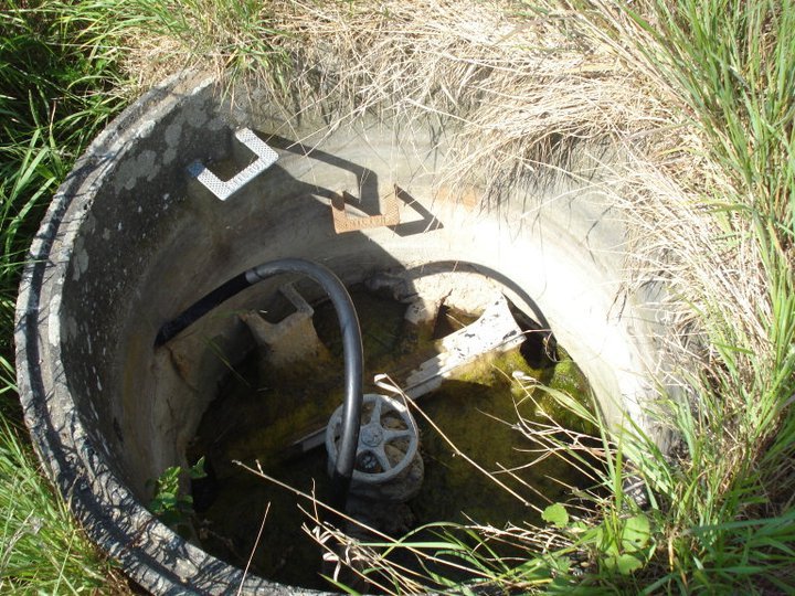
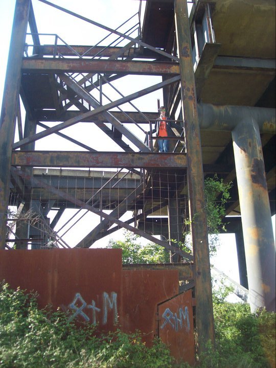
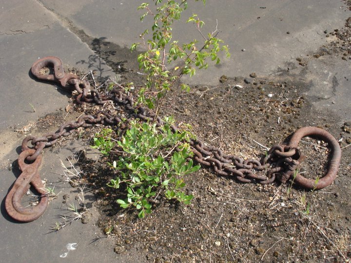
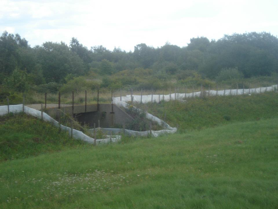
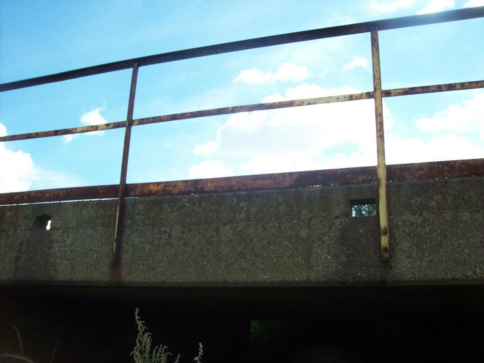
“We returned to revisit what we found on our first ever BTP explore where we stumbled across the Occidental remains only a few months earlier. At the time we thought it was some form of military cover up or something covered over by the local authorities as it was so remote and the remains seemed to be pretty impressive in size. There was a real sense of the ‘unexplored’ surrounding the refinery site but thanks to our research and the help of others there is now little mystery to it – expect for the question of what exactly some of the structures were used for. These ruins to the very north-west of the Occidental refinery site are a bit of a mystery as they seemed to be beyond the site fence and the land is not marked as owned by Occidental of any of the original plans we have seen. However they were definitely part of the refinery and followed up to the emergency bridge.”
Summer 2011 – Area around the Black Jetty and inland
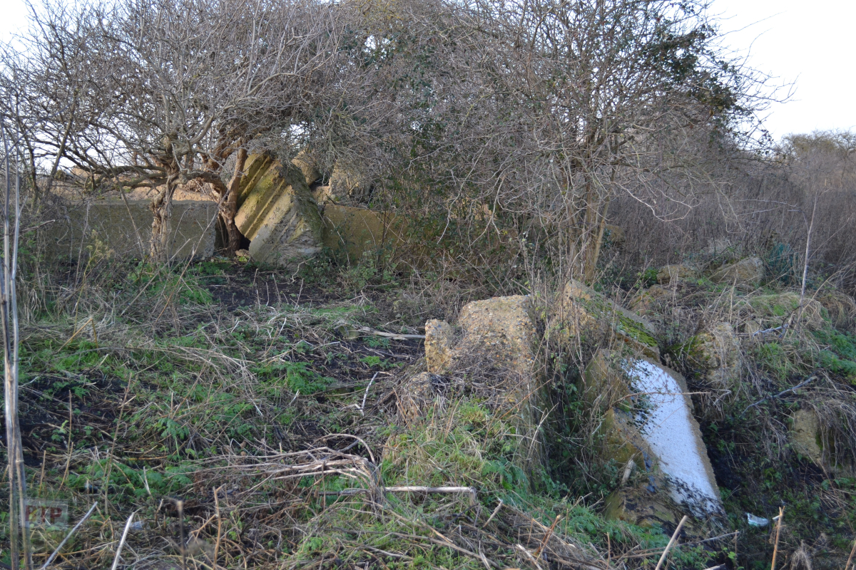
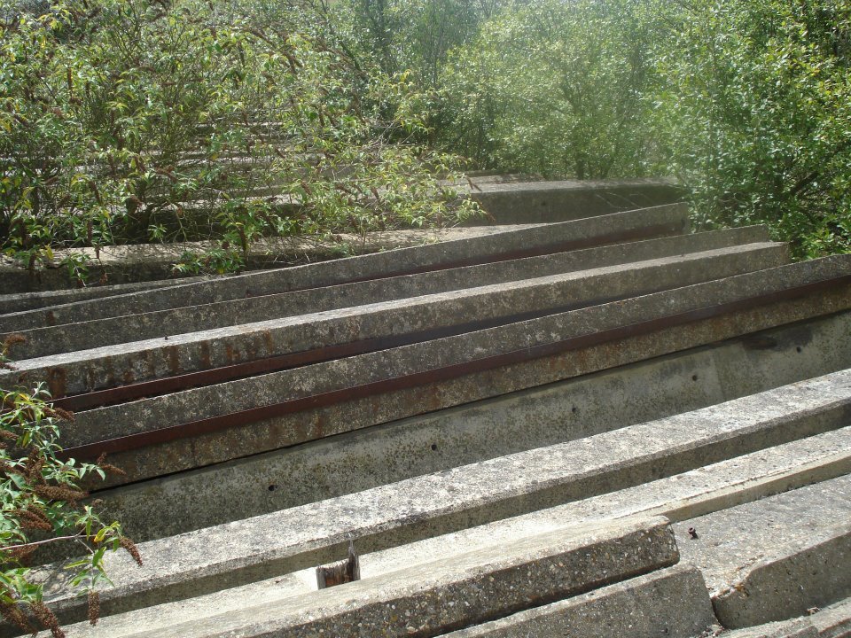
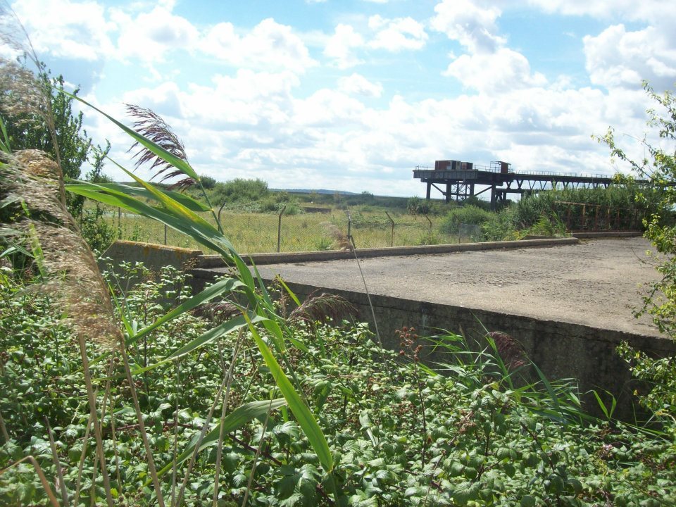
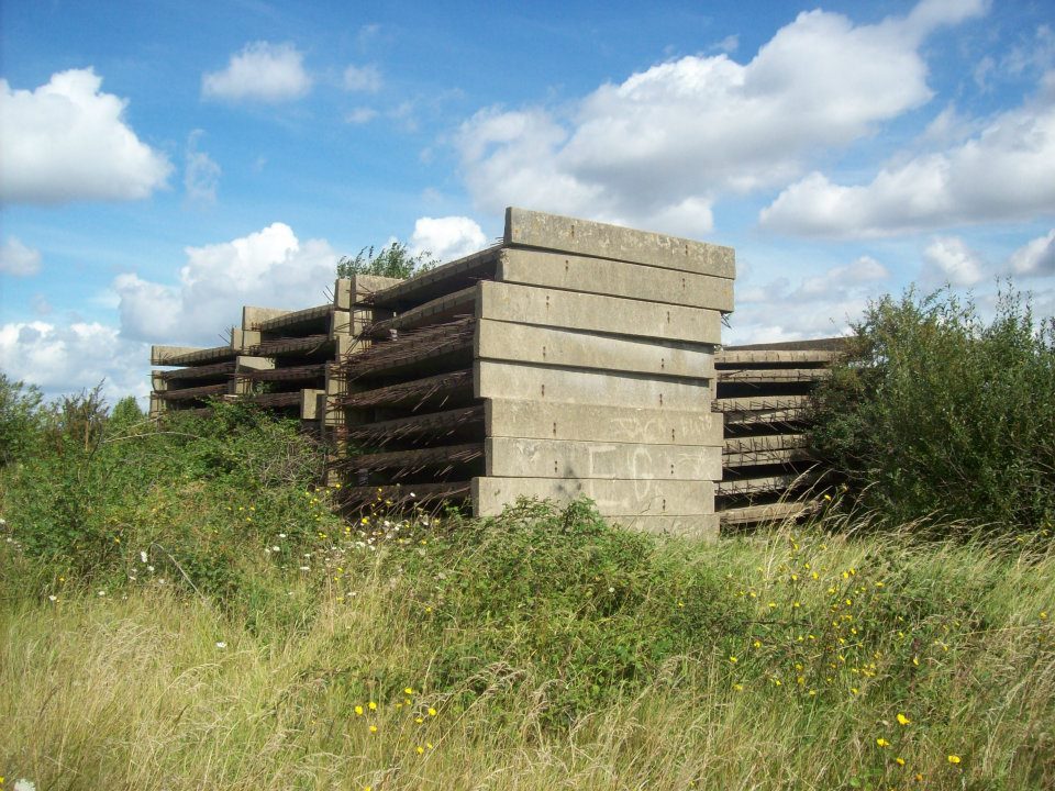
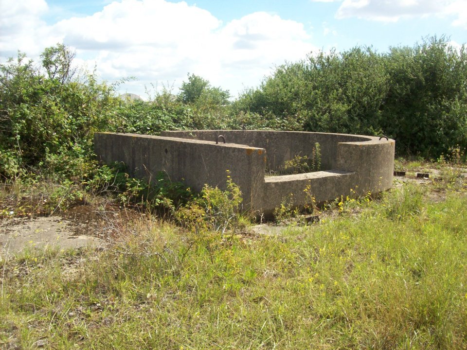
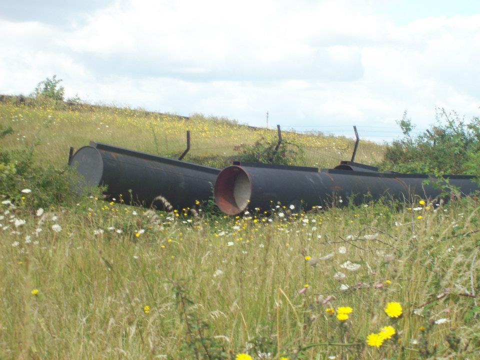
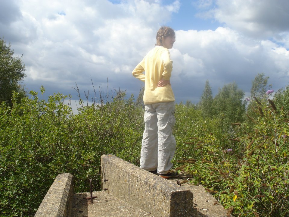
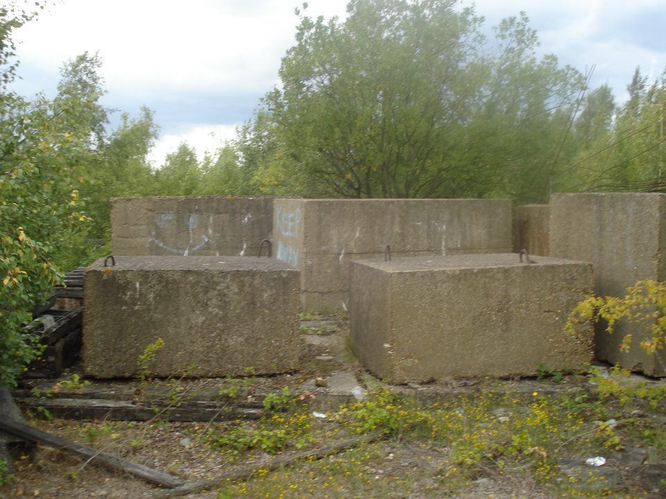
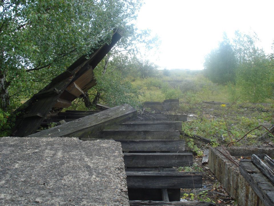
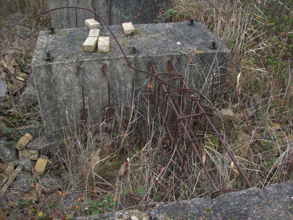
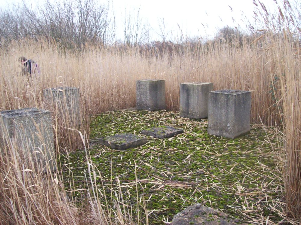
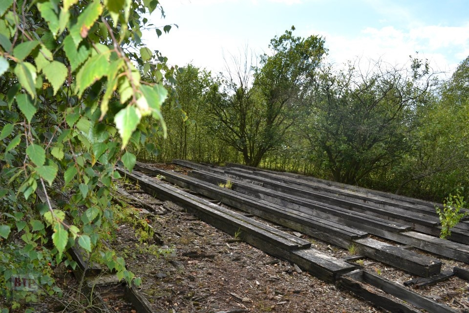
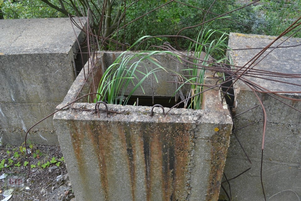
“After our two initial visits earlier in 2011, we were now more aware of what the site was used for. We explored the length of the site this time around the RSPB Reserve rather than along the North-West edge as seen below. We covered the central area up to the main jetty, and a section just west of the low flat ‘construction jetty’ where we found stockpiles of concrete and wood, and some giant cubes. What exactly these were is unclear as the plans for the site have seen (also visible on BeyondthePoint.co.uk) appear to have been deviated from as the site was constructed.”

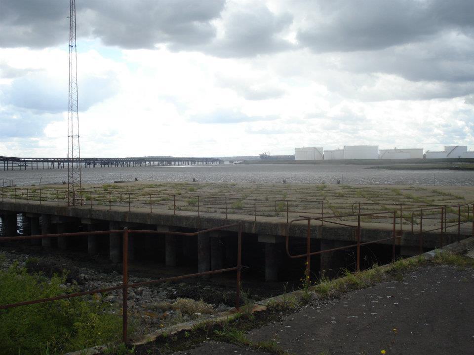
Later 2011 Adventure
December 2011 – Chimney site & Canvey’s 3rd emergency road revisit
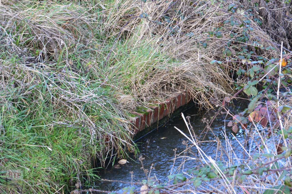
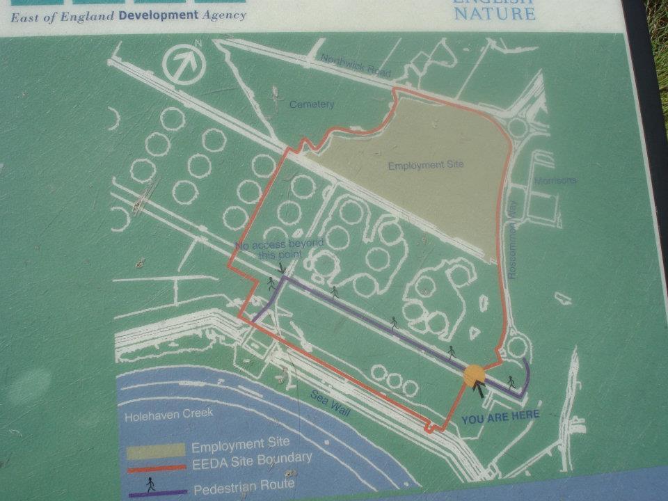
“That day was quite a story. It began with us heading out at 11 o’clock and starting in the car park in the RSPB Reserve off the left of Canvey Road. We followed the pathways from here to the seawall, and then proceeded west. From here we saw the sewage pump of TN8 Northwick, now mostly situated in part of the second last recycling centre at Northwick Road. Later along the way, we found an old concrete drainage exit point, and saw many old groynes, in the marsh and stream between Canvey and Pitsea, from the seawall, which is nothing but an earth mound which means it must be the old Dutch seawall. As we continued along the wall we saw a familiar sight, nine horses, three of which were having a good mooch about along the seawall directly in our path. After much deliberation, we walked through them. As we exited the ‘horse-barricade’, Joe noticed one of the horses making a quick ‘canter’ (I think that’s a fast walk) towards us, followed by others. Joe called “run” so we did. Although this may have set off the other horses we weren’t going to hang about. The horses went down off the wall to meet with the others, and before we knew it, we were running for our lives from a group of nine horses running for us below the seawall at full-pelt! We managed to stay in front of them due to having the higher, quicker, route, reaching the fence and gate in time. We then looked upon the horses from the other side, and fed them dry grass, realizing that perhaps all the horses thought when they ran after us was that we were the farmers with food for them.
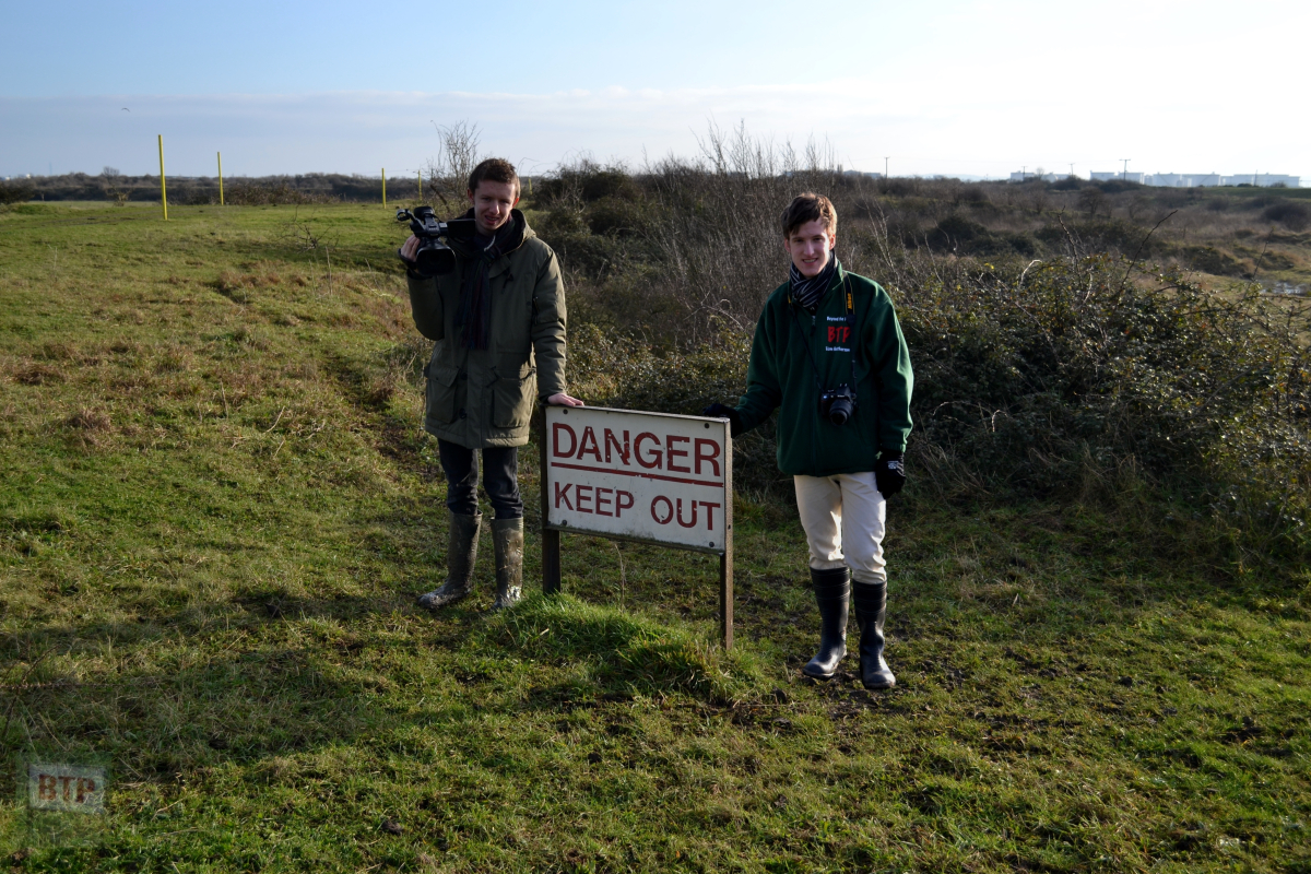
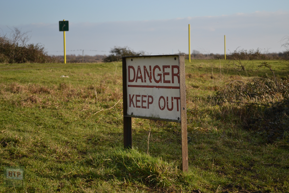
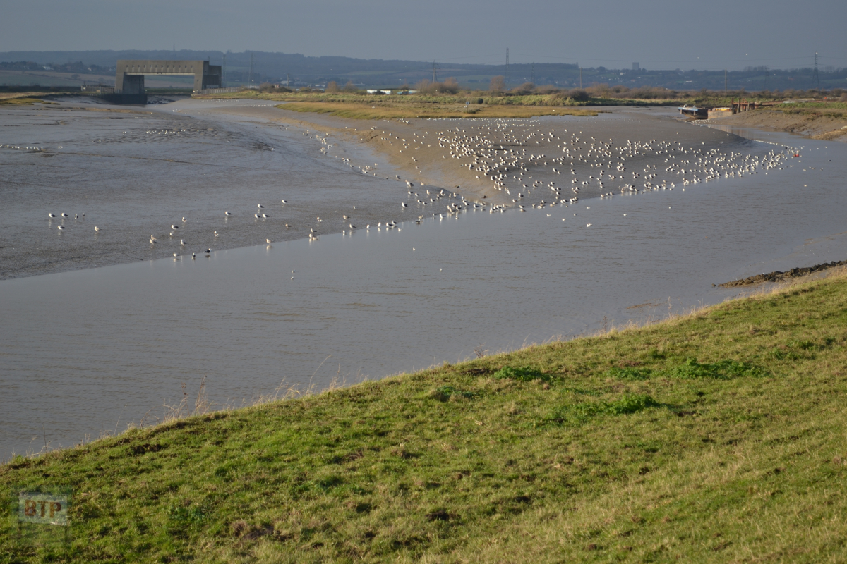
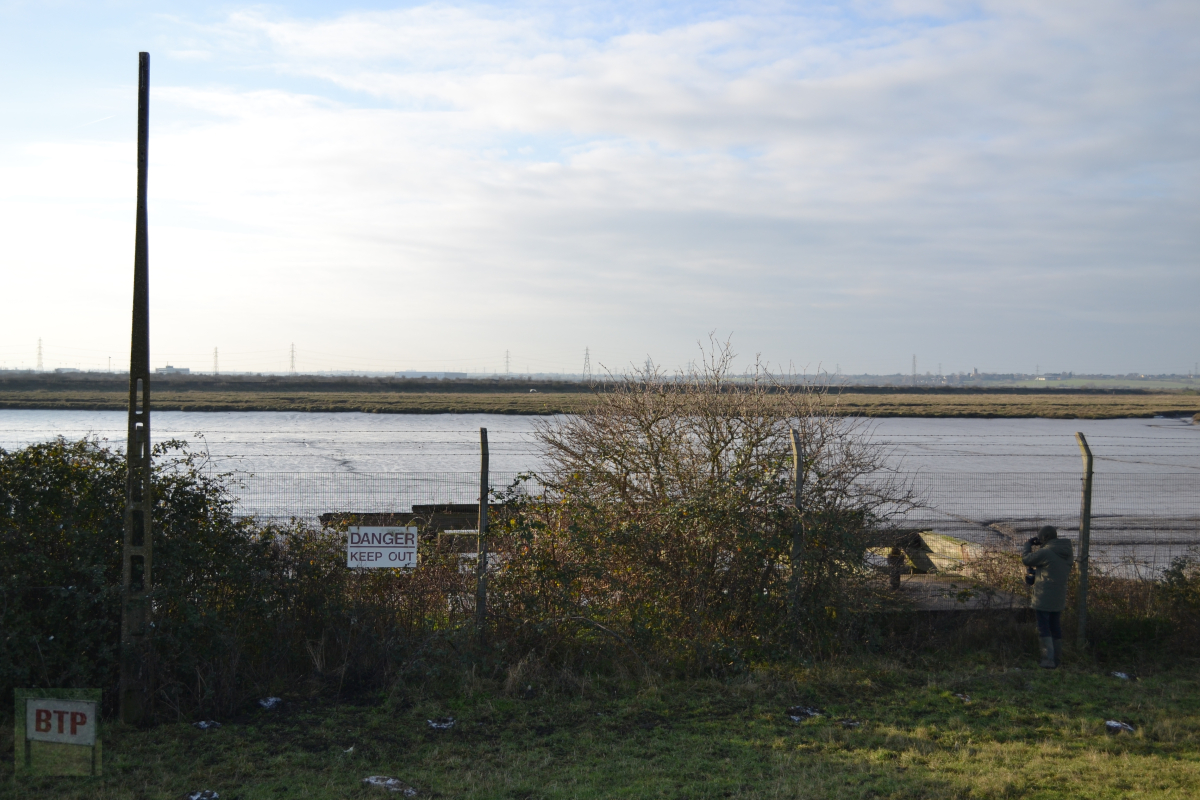
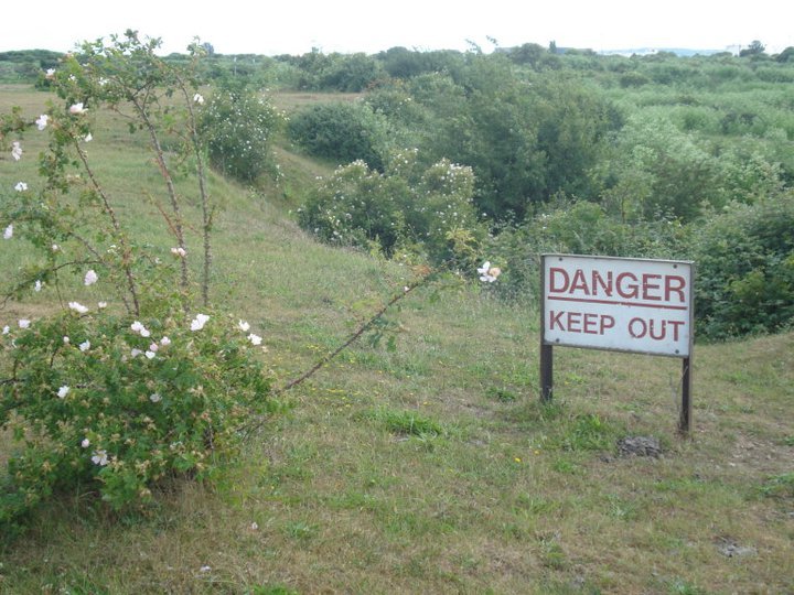
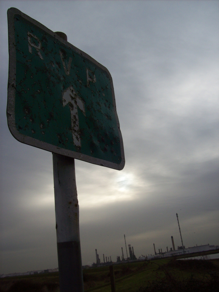
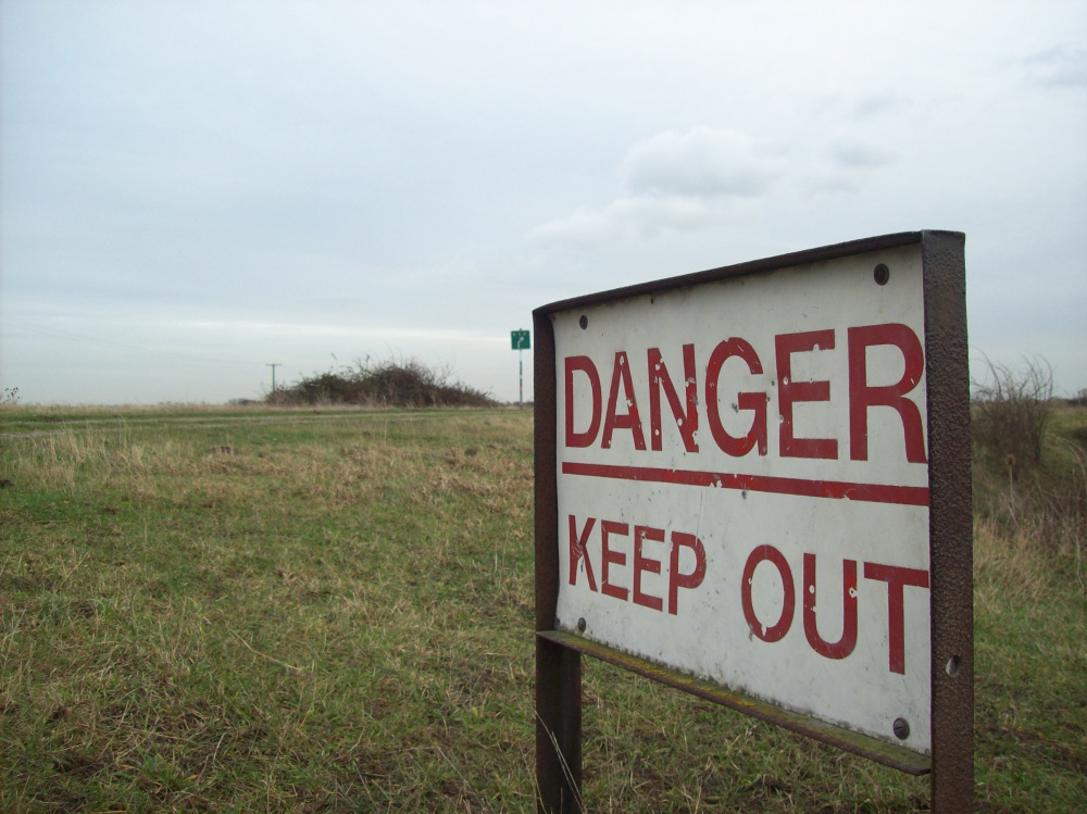
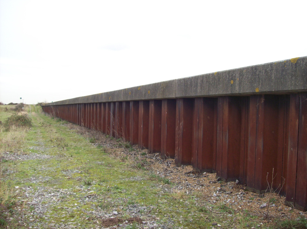
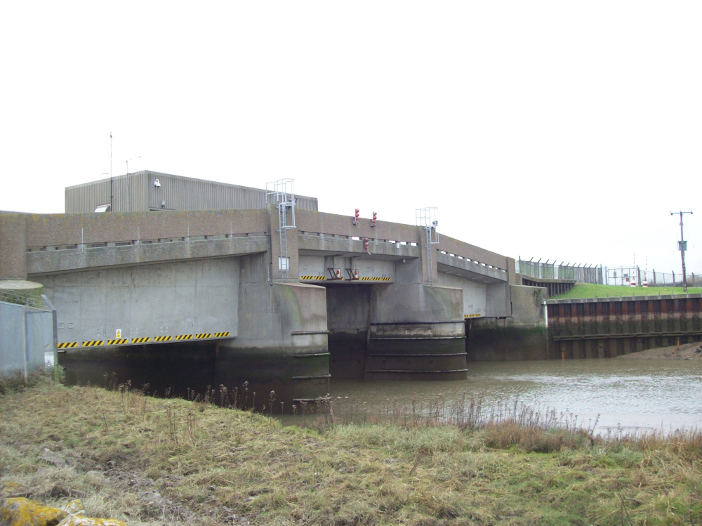
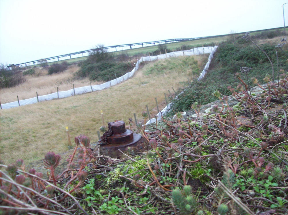
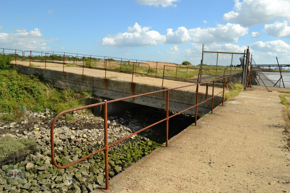
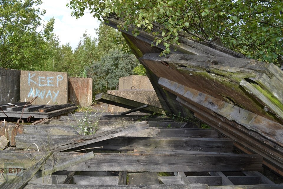
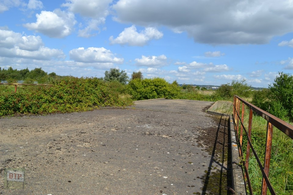
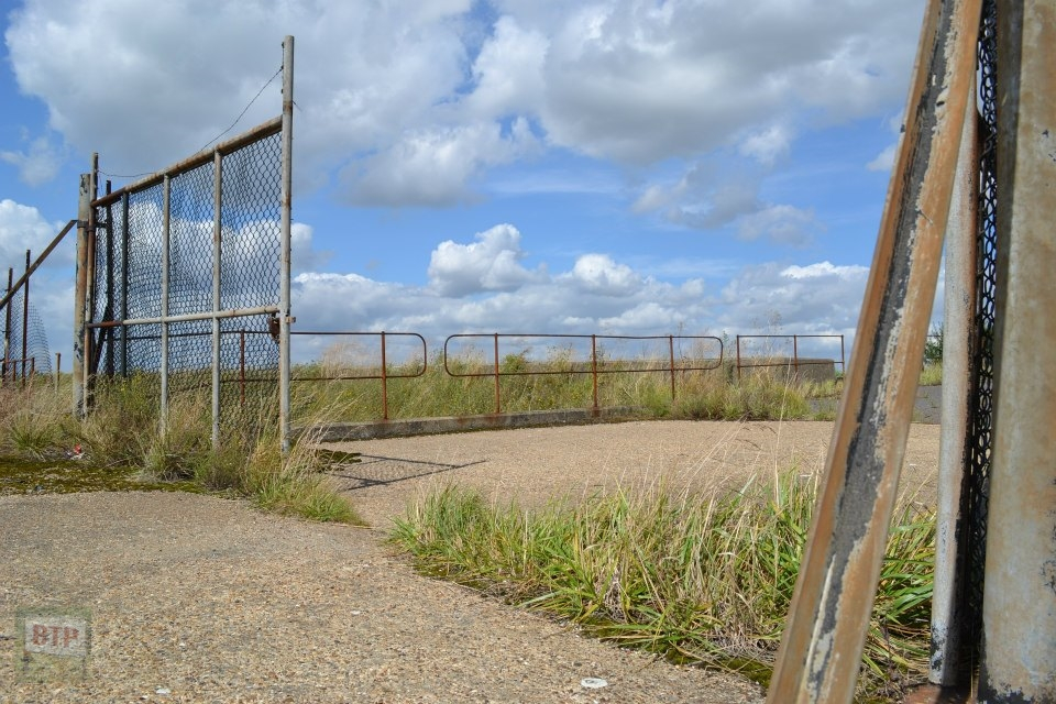
We eventually reached the north of the Occidental site, seen previously visited Easter that year. We were greeted with the ‘Danger Keep Out’ sign featured on this site, and one of the main refinery roads. We paid a visit to the flood barrier/emergency bridge, noting that the seawall along it is the same as Canvey’s old seawall before 1970/80. The barrier would also be used as an emergency bridge off of Canvey, in the case of a flood, as we first thought. We are now presuming that it was only an emergency bridge to be used by workers or near residents in case of a disaster at the Occidental refinery, and they would have to evacuate to Pitsea via this bridge. We believe this firstly because the emergency bridge going off of Canvey has rocks lining the marsh near it identical to the rocks, buried with the concrete, in the area shown in our previous post at the top of this paragraph. Another reason is that the only road going to the emergency bridge was built by Occidental and starts as an extension of Northwick Road. The next reason is that the road is of course now part of the abandoned Occidental site, meaning it is severely overgrown, and it would be a huge struggle to get a car or van down the road. This suggests the road once would be used as an emergency bridge, but nowadays has been left to fall into disrepair as it no longer has anyone to use it (being the Occidental workers). A final point which probably confirms this is that the Occidental road signs here say ‘RVP’ meaning ‘Rendez Vous Point’ in case of emergency.
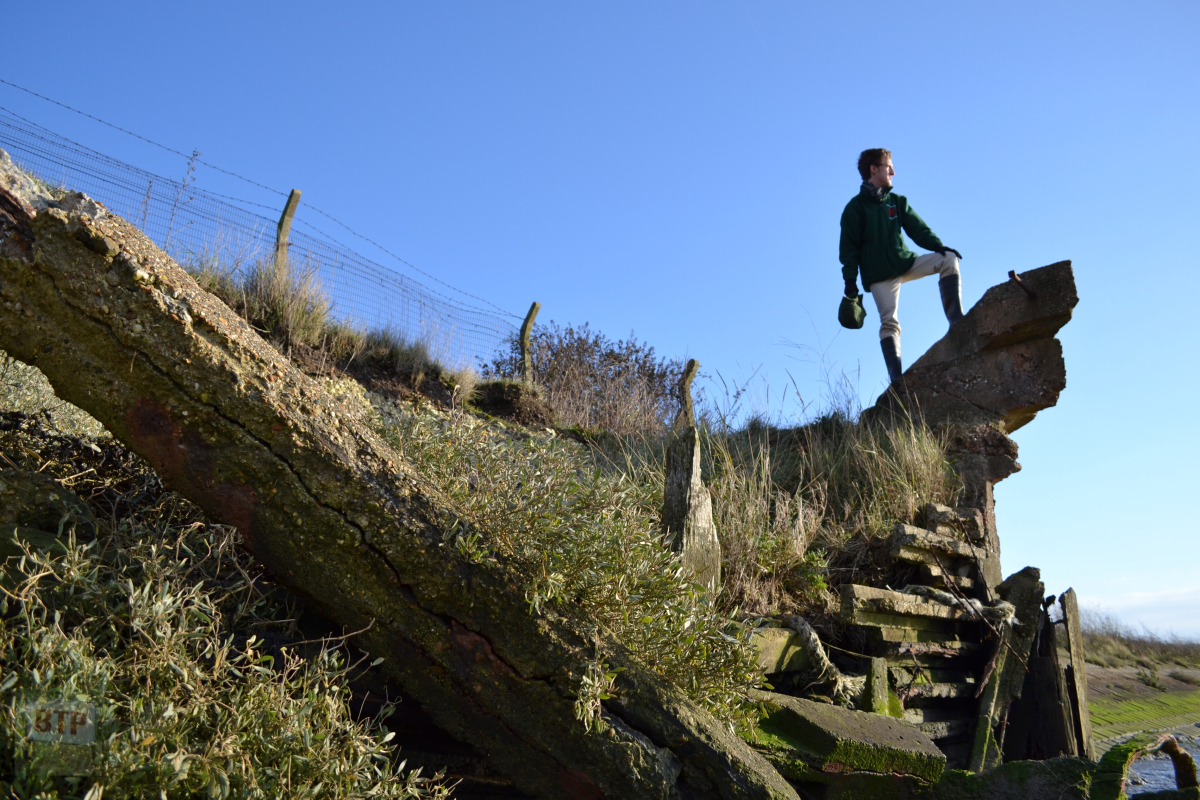
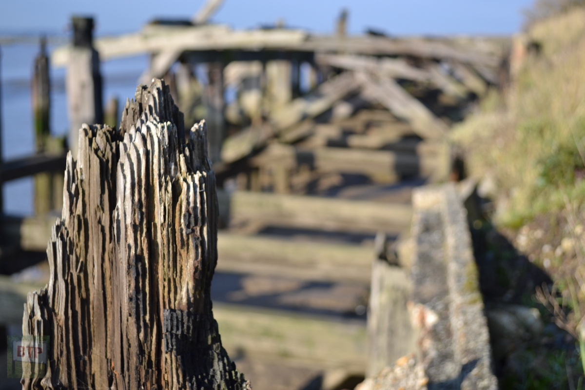
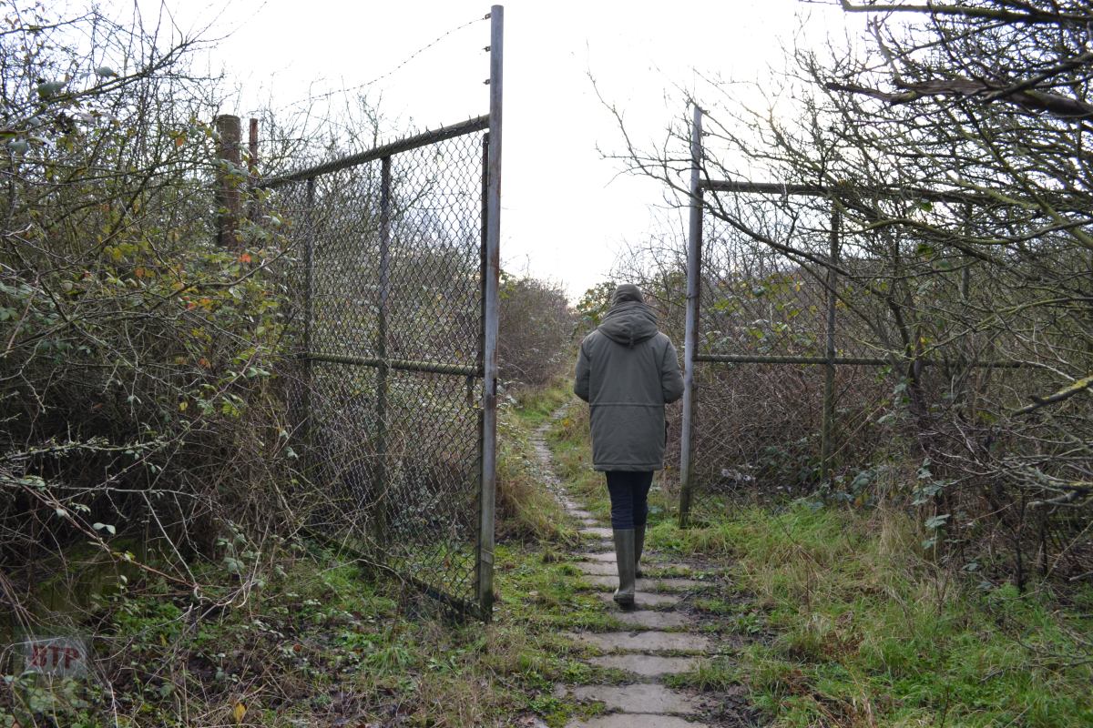
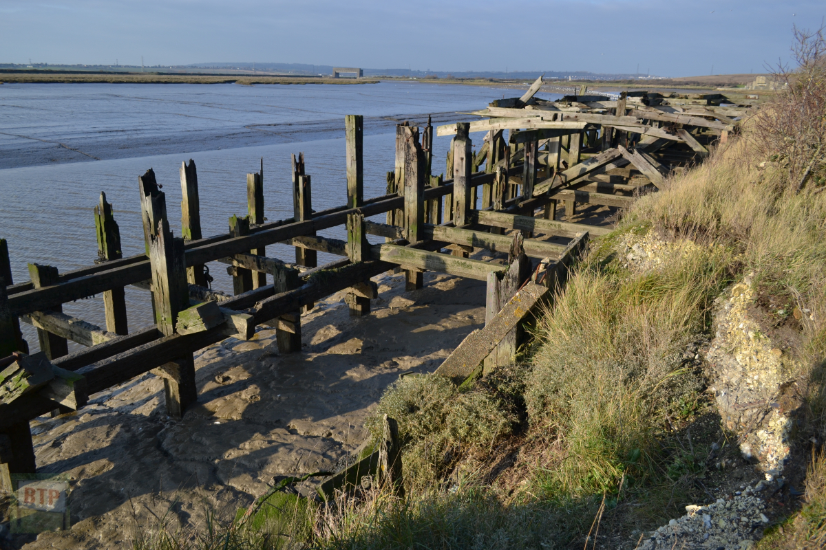
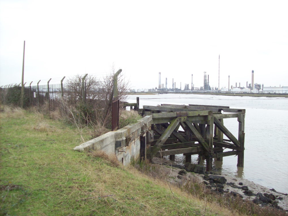
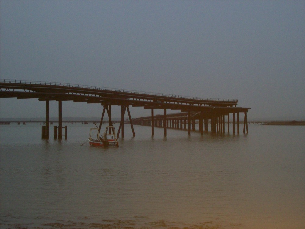
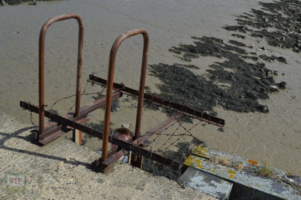
We then proceeded to the Occidental site via a break in the fence, although we didn’t want to get to the fence via this route due to the field of cows and bulls staring us head on – now they are more dangerous than horses! Instead we fled to the seawall, and walked along it to the third more secret Occidental Jetty (the main one being the mile-long oil pumping one, the second being the ‘construction jetty’ with a WW2 boat at it’s side). This jetty is made mainly of a wooden frame although contains metal fastenings and concrete beams for support at attachment to the shores. We know this is Occidental due to the several trademark ‘Danger Keep Out’ signs lining the fence blocking easy access. About one third of this wooden structure has been either demolished, burnt, and rotted, probably a mixture of all three. It is visible in the gallery above.
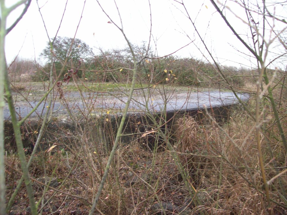
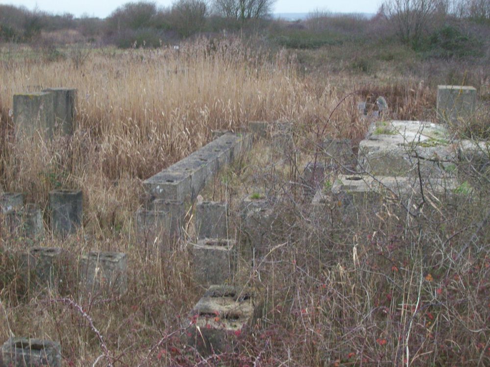
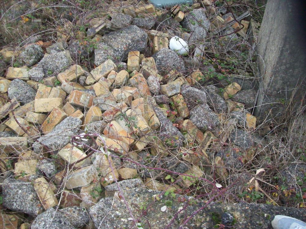
We then entered the Occidental site and sat and ate lunch on ‘the ramp’ with soup and tea from our new Thermos flasks, which do the job well for exploring. Next we headed for the square area of the Occidental refinery once containing the chimney and large sheet-metal ‘hangar’ like buildings. Now all the buildings are gone, along with the chimney which was demolished by Fred Dibnah and his crew in 1997. All that remains of the buildings are concrete stumps with wires, in which the walls of the bulidngs would have been fastened and secured down to. All that remains of the chimney is simply just a small tarmac-like circle similar to those of the bases of the oil drums, except smaller, which goes a few feet down into the ground. Upon searching through one of the building sites, we found many piles of bricks and concrete which came from the fallen chimney. I’m assuming Fred and his crew dumped them there. We also spotted a white builders helmet, which upon closer inspection said ‘Rudders Demolition’, meaning it must have belonged to Fred Dibnah, or his crew, which is more likely. We also saw concrete columns adjacent to the chimney, being the remains of it’s control area.
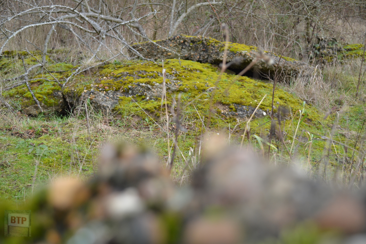
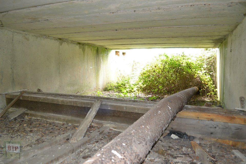
We finally took a peek at big ‘OJ’ (the Occidental Jetty) and headed down the bridle way of the Roscommon Way extension, towards the WW2 pillbox. On the wire mesh covering the pillbox entrance we placed a pro-looking homemade historical information sign with cable-ties, in order to remind those curious of their local past.”
2012 Adventure
Summer 2012 – Whole site
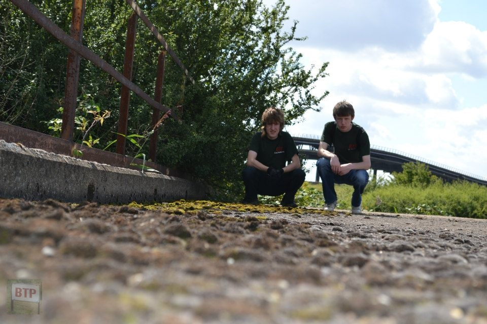
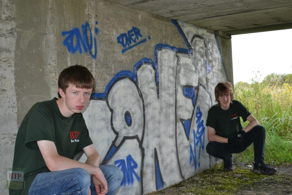
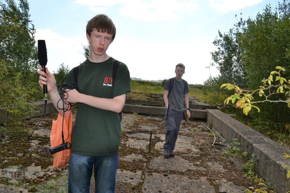
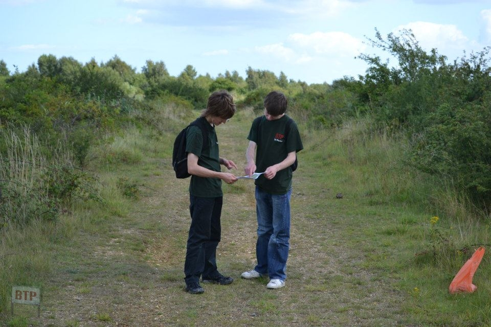
We visited the site with local Ben Mitchelmore who we went to school with who contacted us at the time expressing his interest in urban exploration, film editing, and free-running. We showed him the place as an interesting ‘starter’ BTP location – a good mix of man-made and natural intrigue.
2014 Adventure
New Year’s Eve 2014
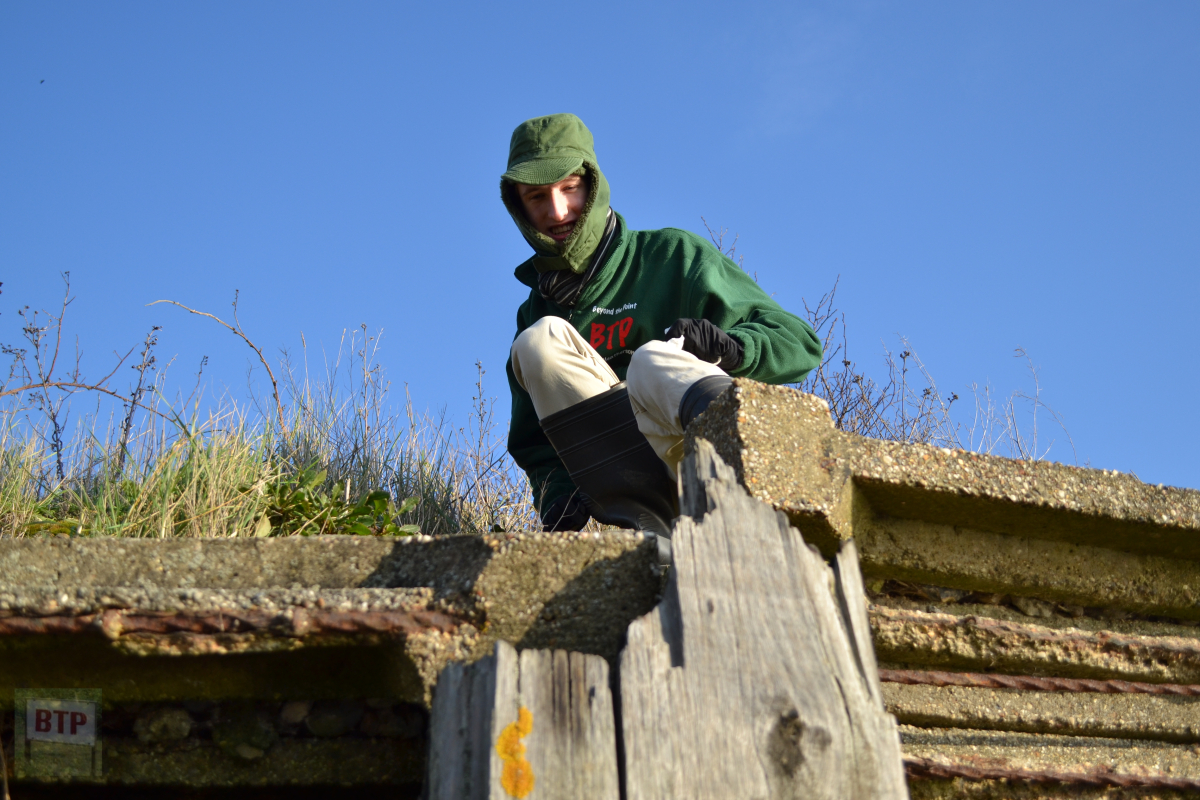
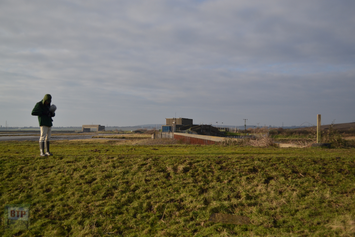
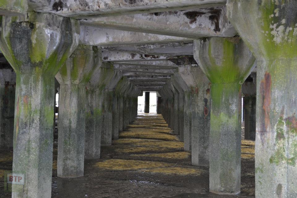
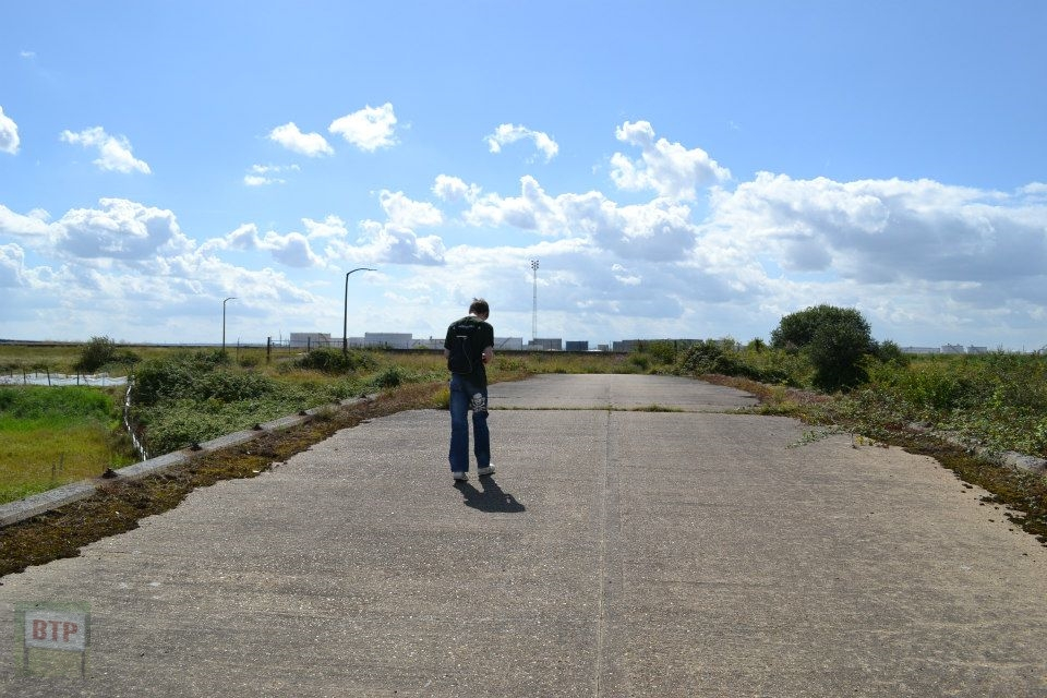
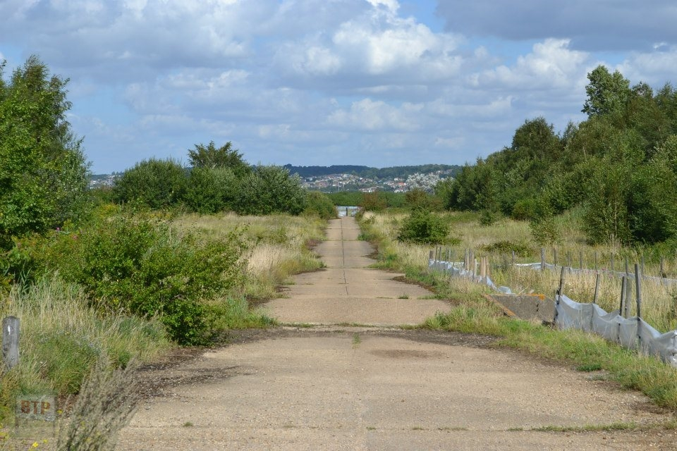
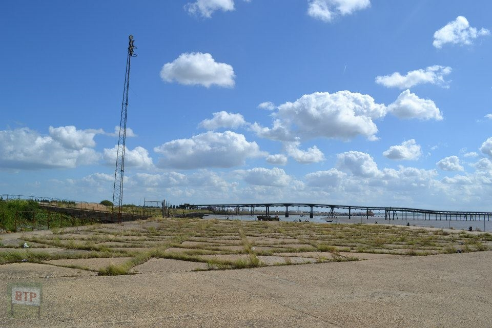
Visted the North-West section of the site that we visited back in 2011 on our first visits. We checked out the third wooden shipping jetty and emergency exit for evacuation incase the refinery had an accident. It was rather cold but it was a very fine day and the isolated spot that’s many miles from civiliation all around was well worth a visit. We cut through the large road spanning the length of the site along its eastern edge to get to the far end, accessed via the new RSPB car park down Northwick Road making the harder-to-reach areas of the site considerably more accessible. We previously had to walk through miles of the abandoned site to reach its furtherst corner, but now it is only a 15-minute walk away. This has its obvious good and bad consequences.
