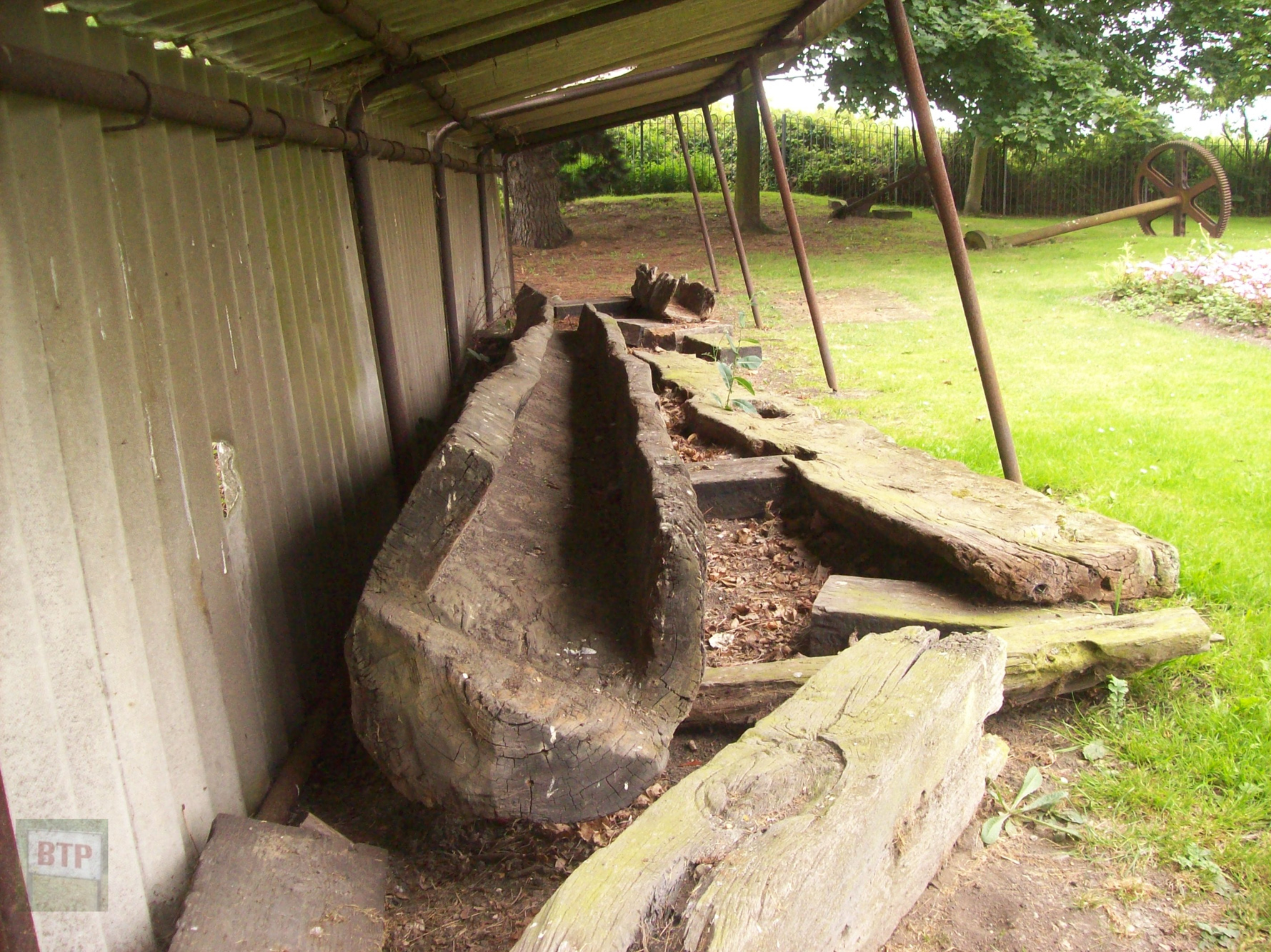
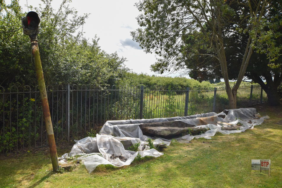
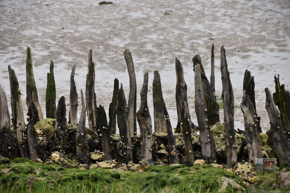
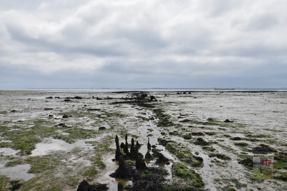
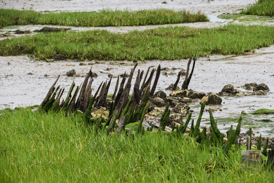
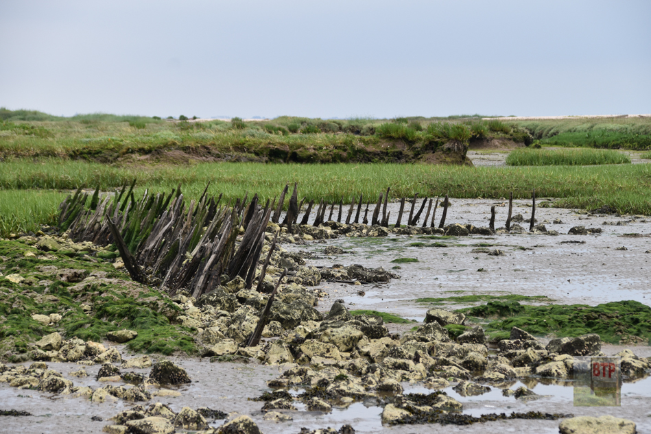
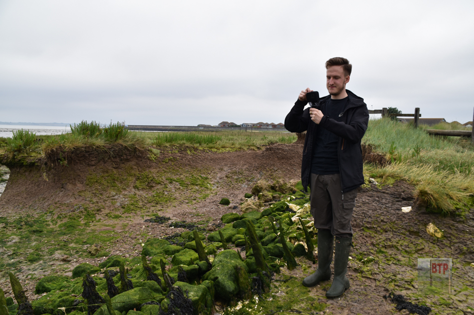
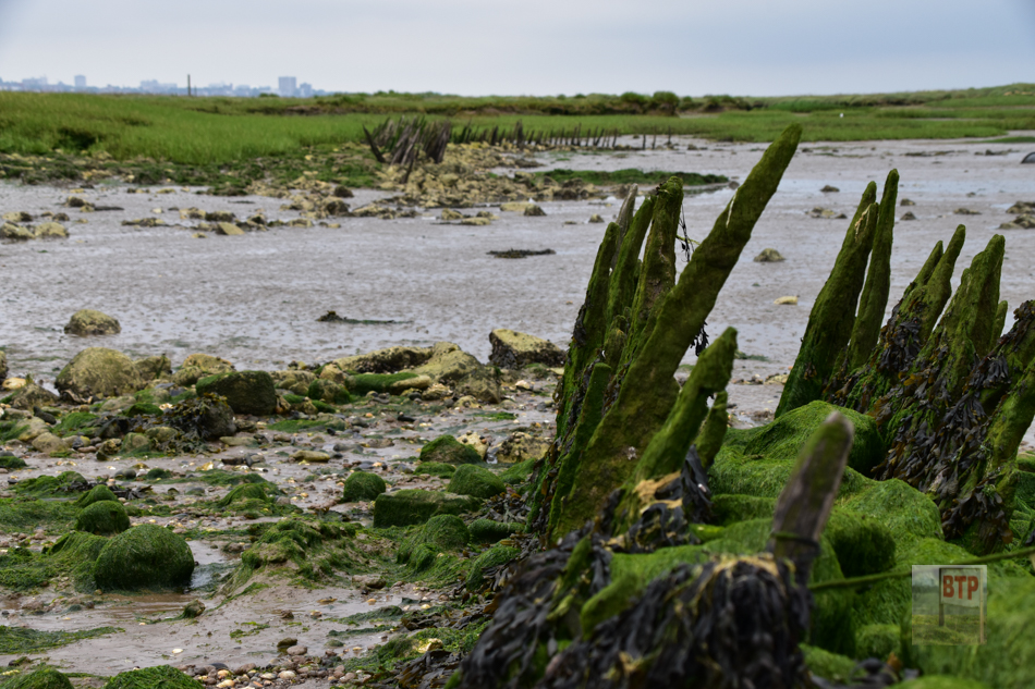
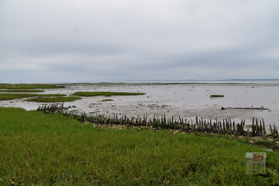
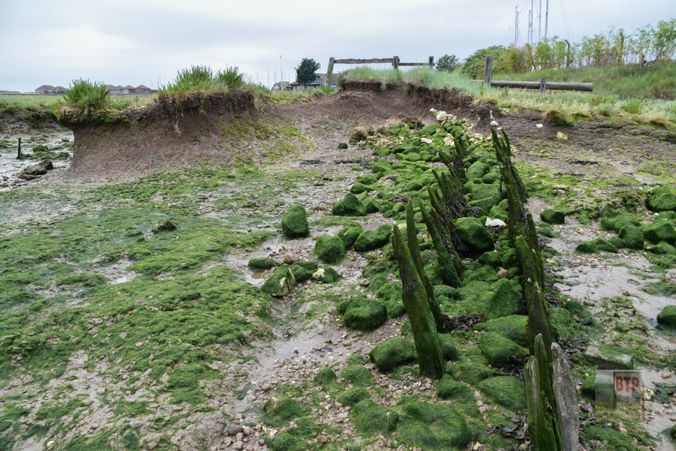
Sometime roughly around 1622, a Canvey land owner known as Sir Henry Appleton called upon expert Dutch engineer Cornelius Wasterdyk Vermuyden to reclaim Canvey’s constantly flooding marhsland. Whilst it is traditionally thought that Vermuyden was directly responsible for Canvey’s reclaimation as he was other parts of England’s south-east coast, it is now thought that an individual named Joas Croppenberg was most important in this development. At this time, sheep had to be herded into sheltered enclosures on higher land known as ‘wycks’ when the tide came in. Permanently reclaiming the land would remedy this difficulty. Dykes and seawalls were created, as well as and a drainage and sluice system made from hollowed-out Elm tree pipes; now on display at the Dutch cottage museum after excavation in the 1970s (pictured). Many of the dykes and field patterns are still used, even if modified, and the seawall is still prominent in many parts of the island. The ‘Point’ of Canvey Island is one place where the Dutch seawall can be seen today; partially eroded by the tide to reveal its chalk and staked timber core (pictured). With the reclaimed land, Canvey was used for growing crops and also for cattle. In 1627 a petition was put out by the Dutch wishing for a house in which Dutch religious services could be carried out in. In 1630, this was agreed to and a small Chapel was constructed on the then highest point of the island.
In the Victorian Era, the Dutch sea defences were either used as secondary ‘counterwalls’ or upgraded into more prestigious earthen mounds. Still not containing a ‘wall’ as such, it did feature a flattened path along it’s top. It can be seen opposite Smallgains Corner or west of the Benfleet Bridge. It was larger and taller than the Dutch one, although still was nothing more than piled earth as is still common across Essex’s marshland, and could have been breached easily if the tides took their toll as they did in 1953 when these earth walls were all the Island had.
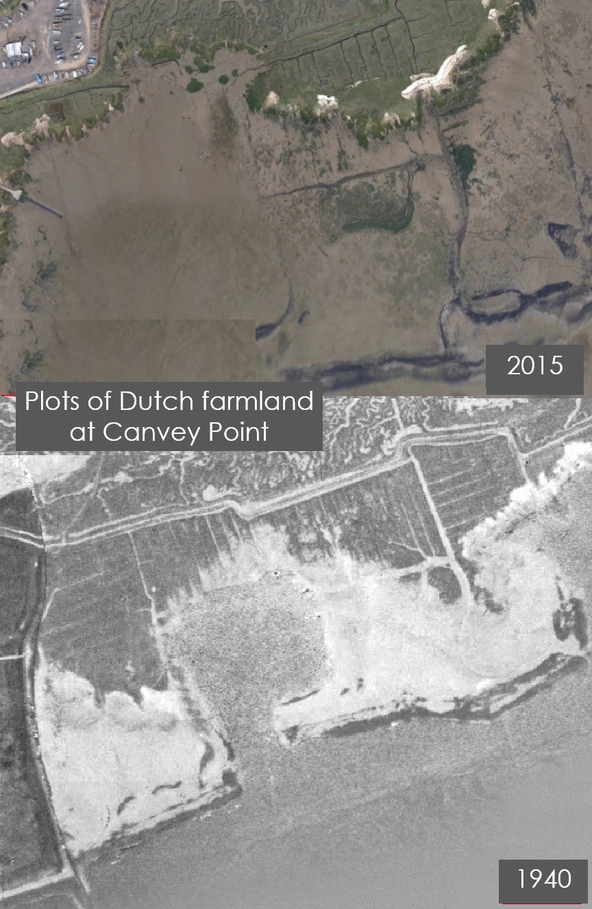
Canvey has traditionally been used as sheep-farming pastures, evidenced as having occurred during Roman occupation right through to the coming of the Dutch in the mid 16th Century. The sheep traditionally farmed there were of a now-unfamiliar long-tailed breed. The Doomsday Book of 1086 which surveyed each town and city, and what people possessed there, describes Canvey as a ‘sheep farming parish under the control of nine parishes’. In the Medieval and early-modern era, Canvey was split into several sections, with each of the nine parishes surrounding Canvey owning sections of Canvey’s land each. Out at Canvey Point, rectangular divisions of the marsh into Dutch field boundaries can still be seen although this is most clear from above on Google Earth (pictured).
