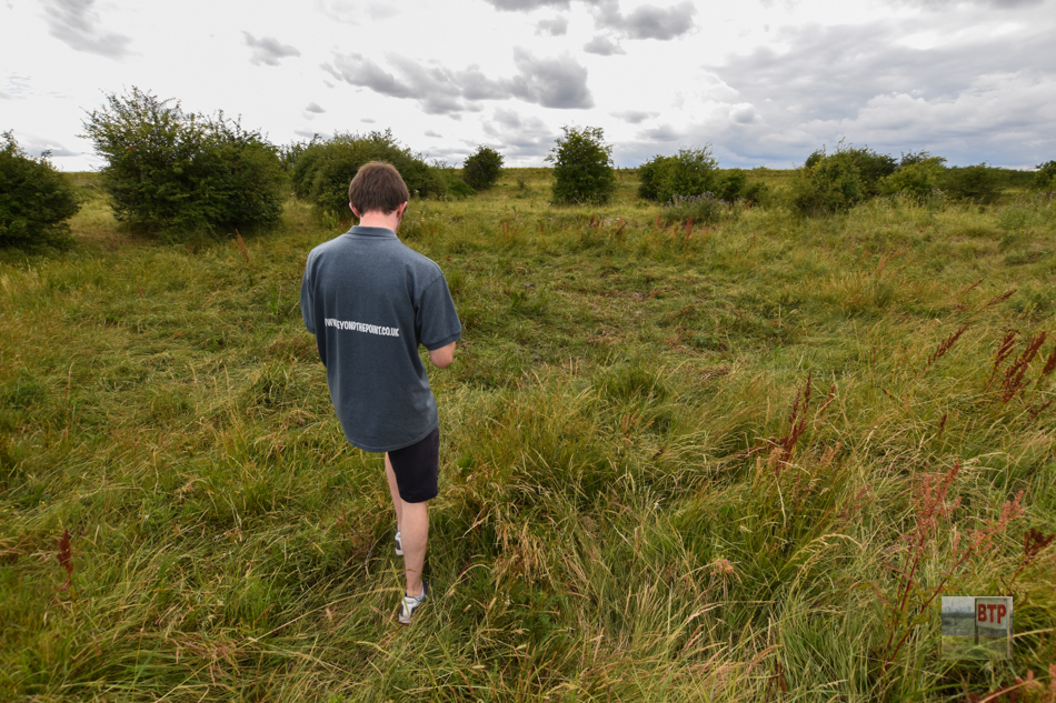
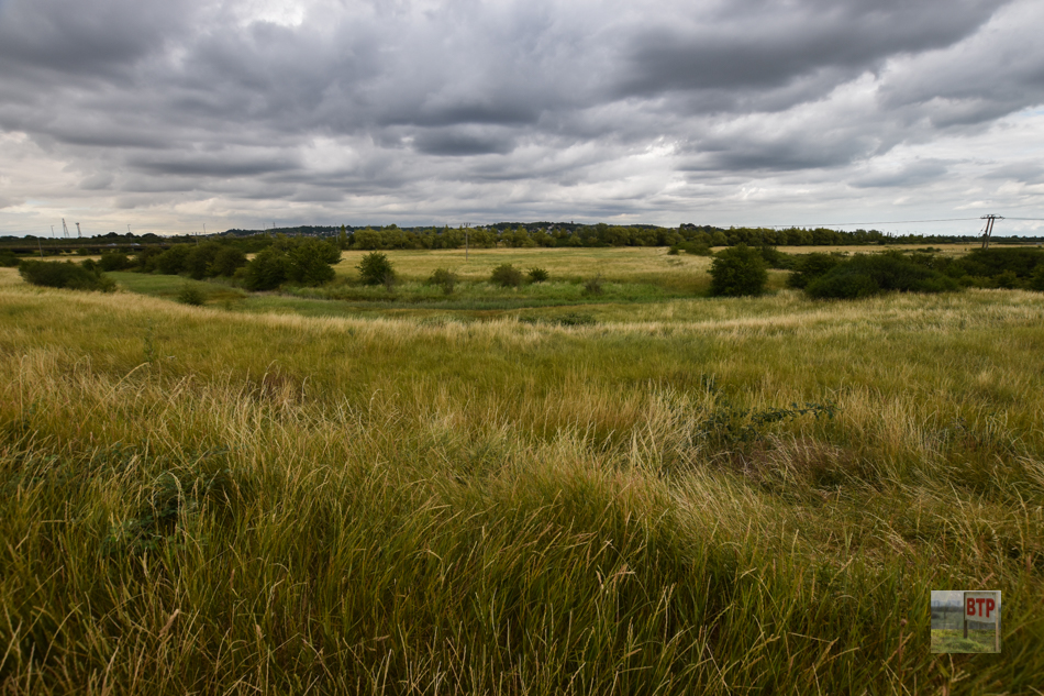
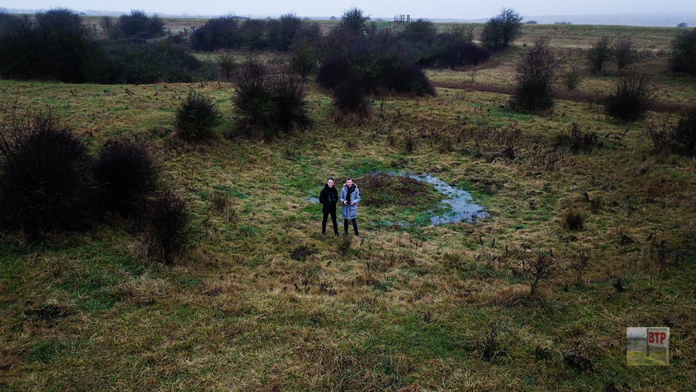
When the land was first bought by the RSPB in 2006, one of their first jobs was to sweep the land to see if any unexploded World War Two bombs lie undisturbed beneath the surface. Around £50,000 was spent on an ex-military team who were drafted in to use specialist technology to scan the earth. Months were spent searching the 300-acre site and luckily no explosives were found. Eleven years later and the BTP boys are packing their bags, putting on the fingerless gloves and heading out into the foggy marshes to re-discover the crater of a bomb that landed on the site some 70 years ago.
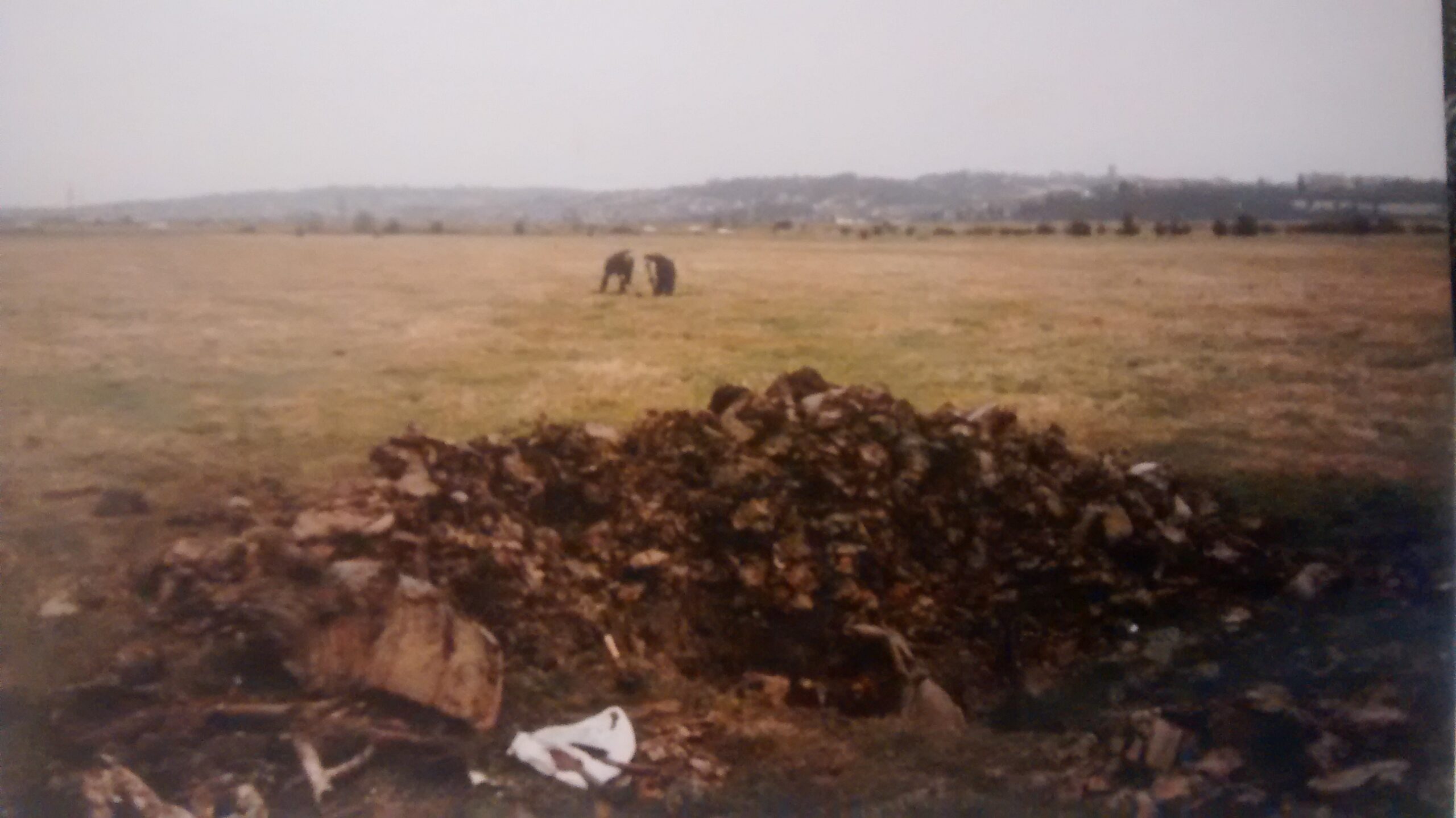
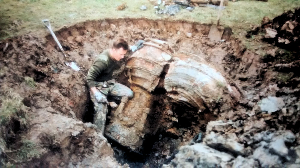
In 1993, local historian Gary Foulger was part of a team who set out into the now RSPB site, to find and excavate the remains of a V2 rocket which crashed into the field on 30th December 1944. It was unknown what state the weapon was in – had the warhead gone off? Could it still explode? Speaking to the Canvey Archive, Gary recalled “It had carried a 1 ton war head, it was 47ft height 13 metric tons and took 3 mins from Holland at 2,800mph went 60 miles high edge of space then back to earth at 1,800 mph. Then something happened and it broke up crashing to the ground on Canvey.” The warhead was found 200 yards away and it is possible that the rocket broke up and landed in pieces rather than exploding as intended. Several V2 rockets are recorded as having landed on and around Canvey totalling 8.
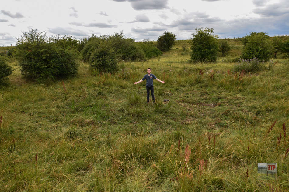
The crater we found seems unmistakable as a bomb crater with a small lip and dimple in the very centre, caused by an explosion. Sources are conflicting; for instance, a map of V2 rocket crashes does not even mention one landing on the 30th of December 1944, but records one further inland crashing the following day (or perhaps this was the same one but its crash was recorded a day later). Despite this apparent confusion, Gary’s extensive research reveals the true nature of the site. We originally discovered this V2 crater in January 2018 via an entry on SEAX Archaeology which logged Essex’ lesser-known archaeological sites. However, the database has recently been taken offline preventing us from providing further clarification. However, Gary confirms the crater was formed by the V2 warhead exploding, which consisted of amatol 60/40 explosive. The small ‘island’ of mud in the middle was formed when the earth rose from the centre, blown upwards in the explosion with the soft marshland below potentially absorbing some of the blast. The explosion is alleged to have blown the doors of a barn at Pantile Farm not far south. The earthen seawall next to the crater was found to be peppered with tiny fragments of metal from the explosion, around the size of 10p coins. Whilst the warhead which caused the crater landed close to the seawall, Gary found the V2 rocket’s main wreckage; including its engine and turbopump, around the length of six football fields away inland. This suggests the rocket broke up in the air shortly before hitting the ground, with the warhead coming off and landing separately.
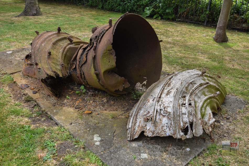
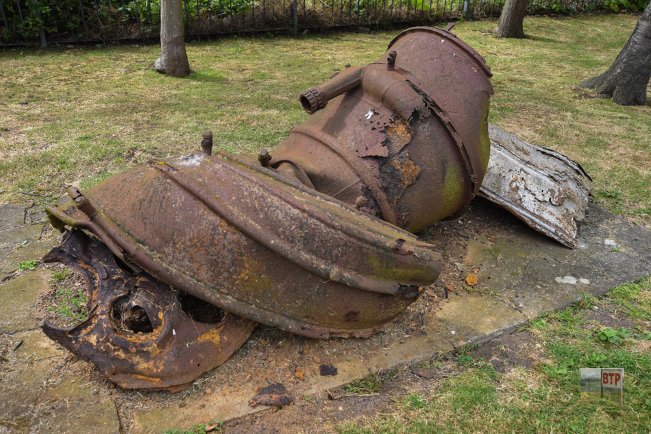
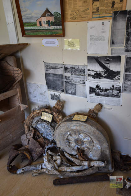
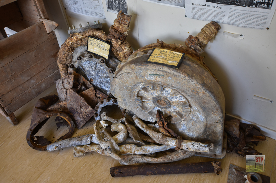
Gary’s impressive excavated remains of the V2 bomb including its engine can be seen today in the grounds of Canvey’s Dutch Cottage museum, as well as inside its demountable exhibition which includes some more detailed information about his findings (pictured below). Read more about Gary’s 1993 excavation here.
Sources:
https://www.canveyisland.org/history-2/wartime-canvey/wwii/canveys_lucky_escape – Article about 1993 excavation
https://www.wrsonline.co.uk/big-ben-rocket-strikes/1944-v2-rocket-attacks-map/ – Map of V2 Crash Sites
http://www.canveyisland.org/page/gary_foulger_and_the_v2_rocket – Pictures of Gary with rocket remains
Thanks to Gary Foulger for his images as well as technical details and clarification about the rocket crash.
This entry was posted in Location Report
