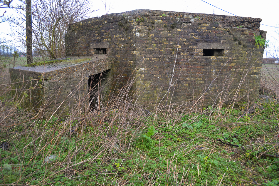
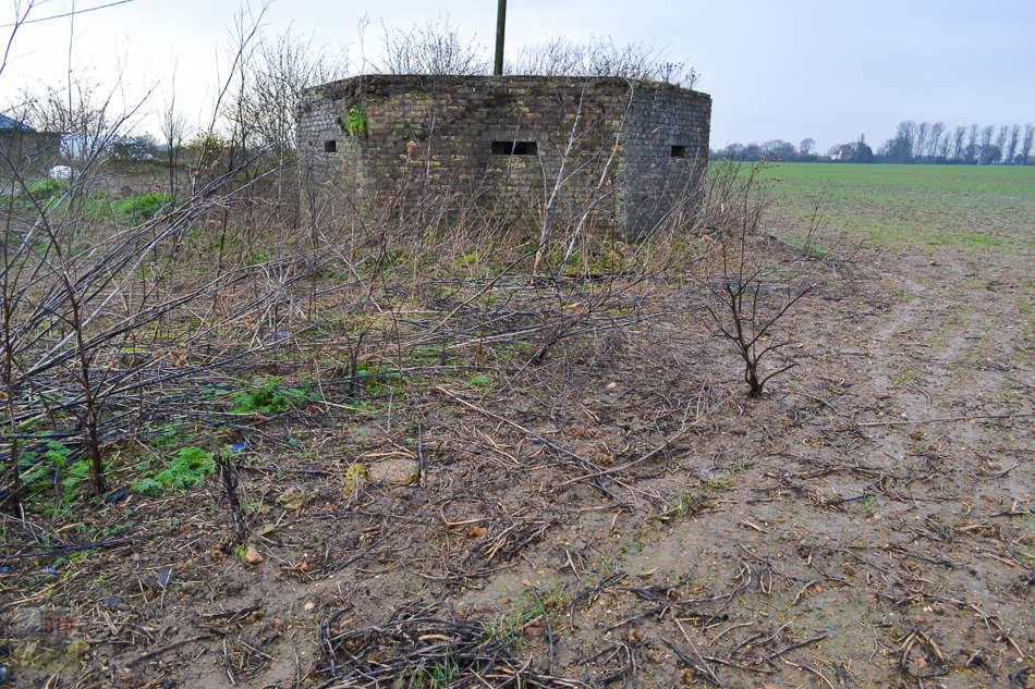
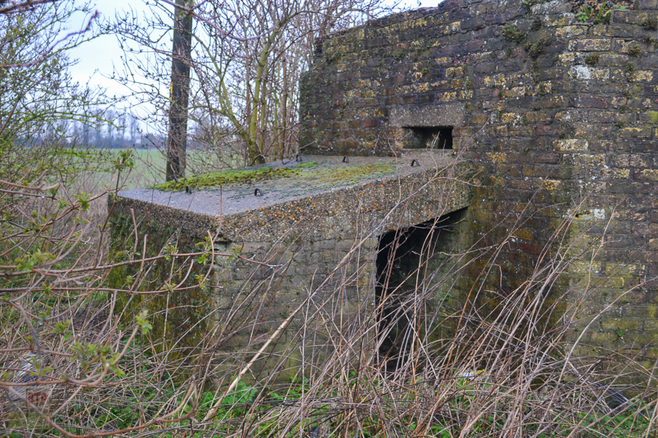
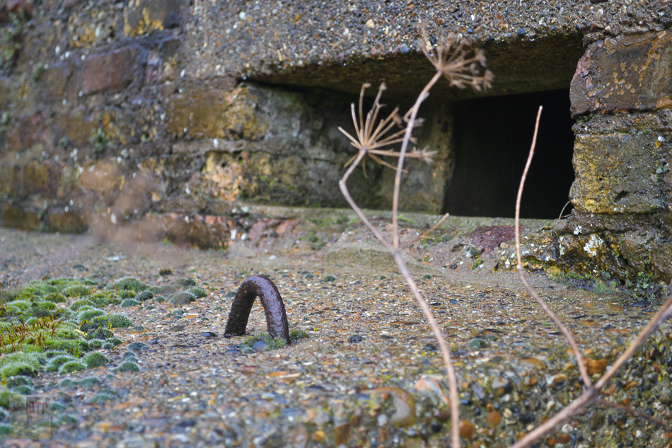
The area north-east of Sutton Road Cemetery and Temple Farm Industrial Estate in Southend is home to numerous pillboxes, and once there was probably even more. Whilst these pillboxes are too far east to be a part of the GHQ line of defence along England’s eastern coast, they were probably instead built to protect the land south of the River Crouch and to defend the farmland east of Rochford Airfield (now Southend Airport) incase German paratroops descended on the site in 1940. Some of the pillboxes still bear metal hooks where camouflage could have been added. All are of the Type 22 regular-hexagonal design with covered entrances; common in this area.
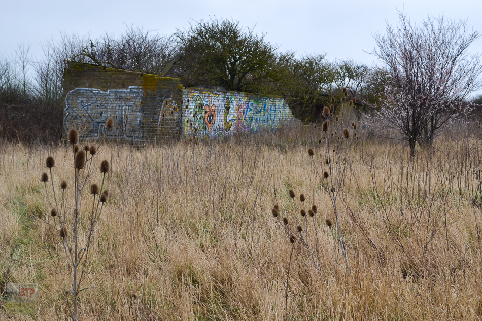
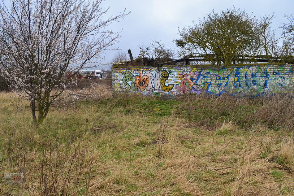
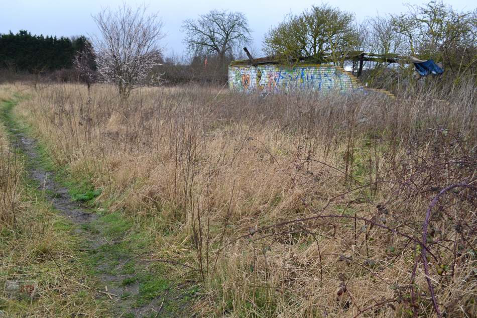
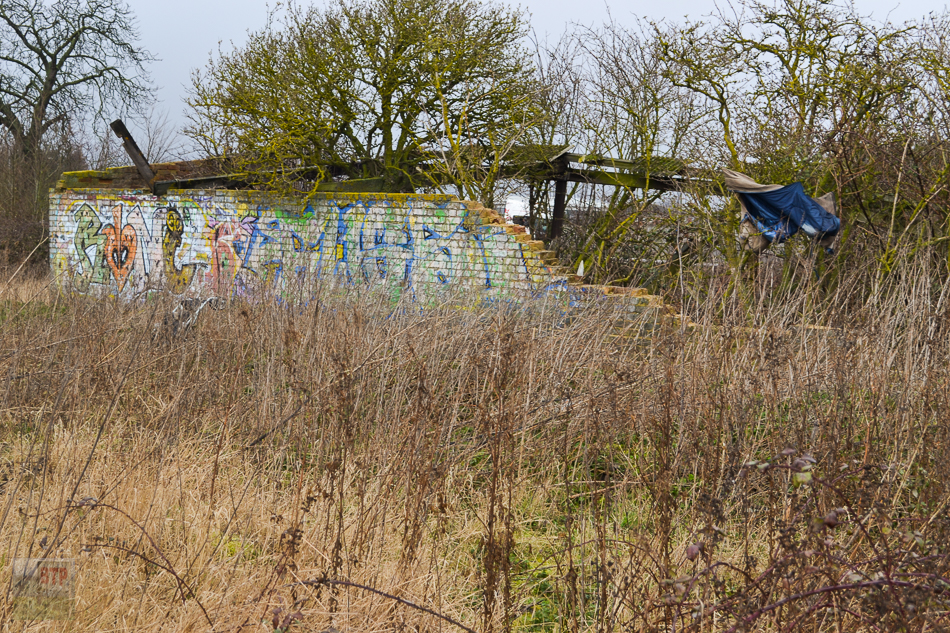
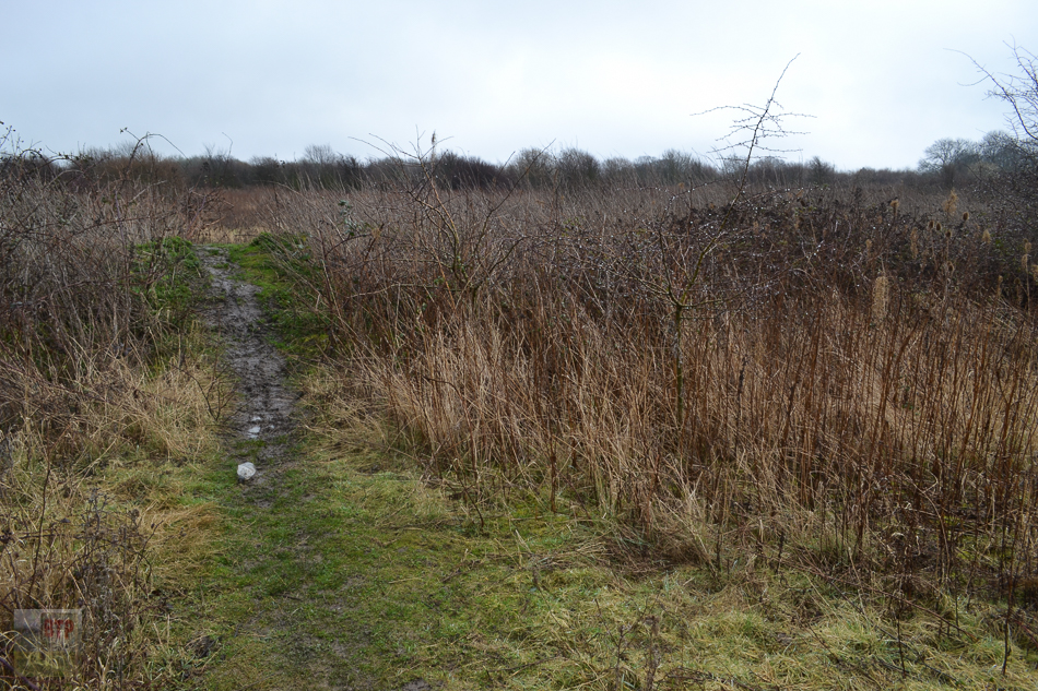
The overgrown area immediately south-west of Fossets Way is rumoured to be a wartime command or nodal point still bearing striated earthworks; presumed to be defensive trenches. The linear features predate 1990 when the overgrown area was farmed, so could be reasonably old. The ruined brick shed structure pictured is probably just an agricultural building, although might date from the mid-20th Century. Any more information would be appreciated as this is currently speculative.
Pillbox 1
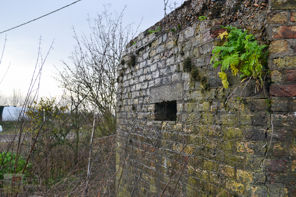
Pillbox 2
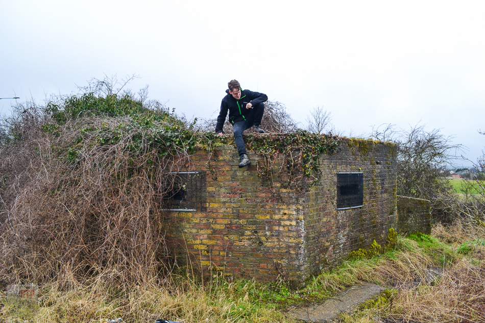
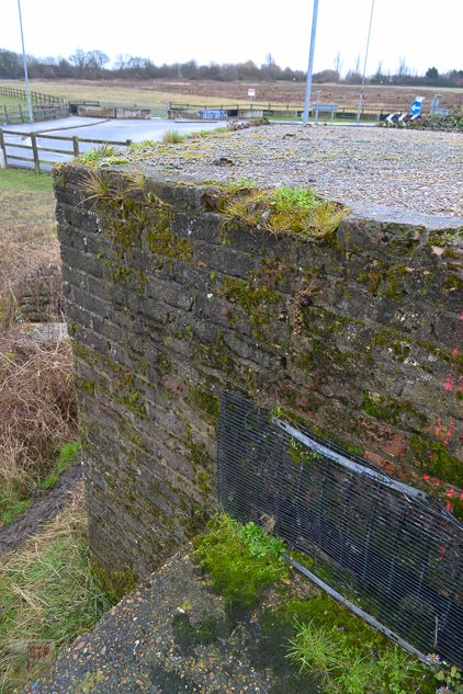
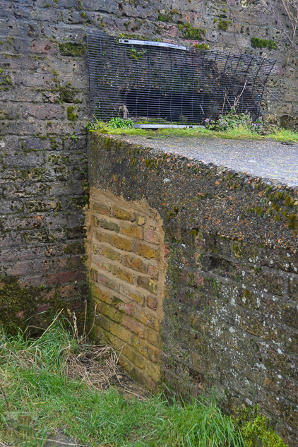
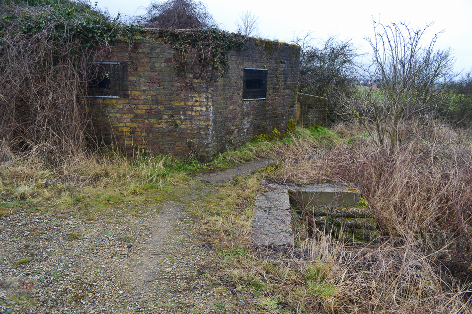
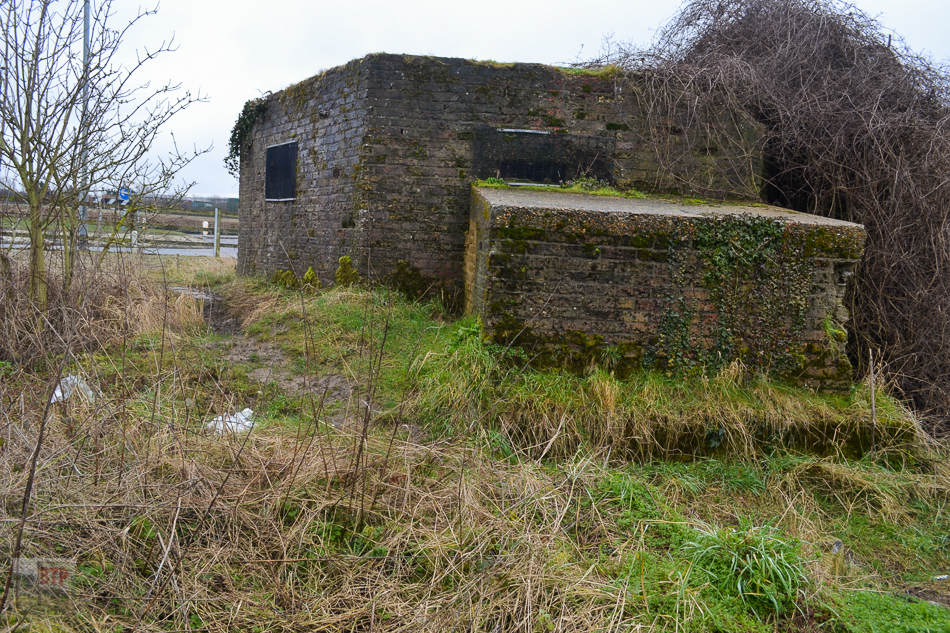
Pillbox 3
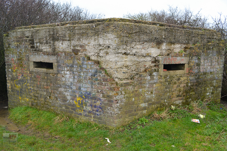
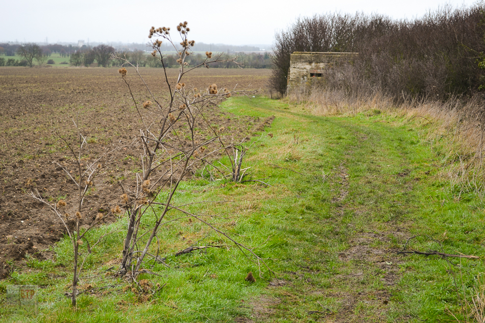
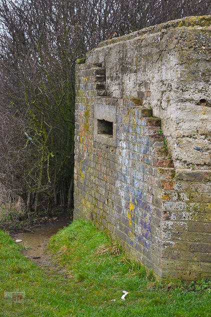
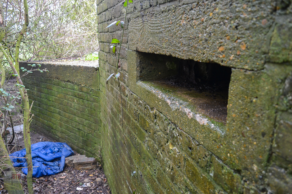
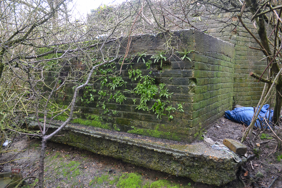
Pillbox 4
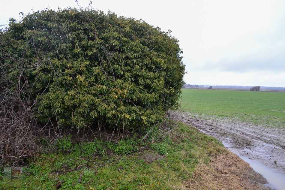
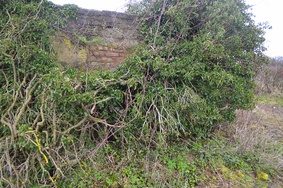
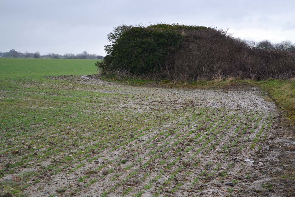
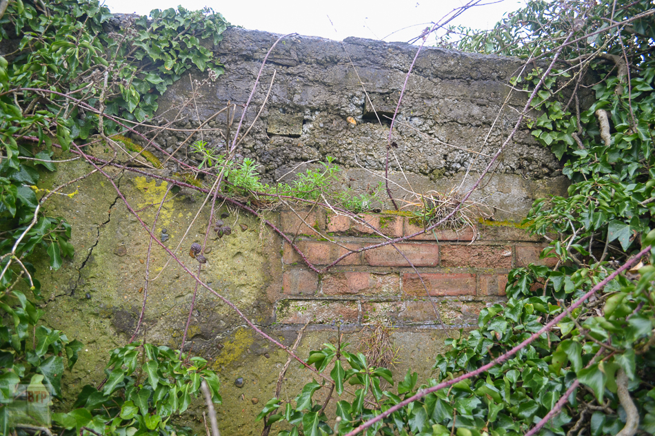
Supposed Command Site
