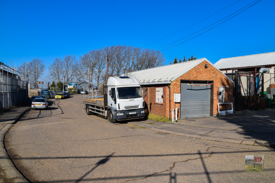
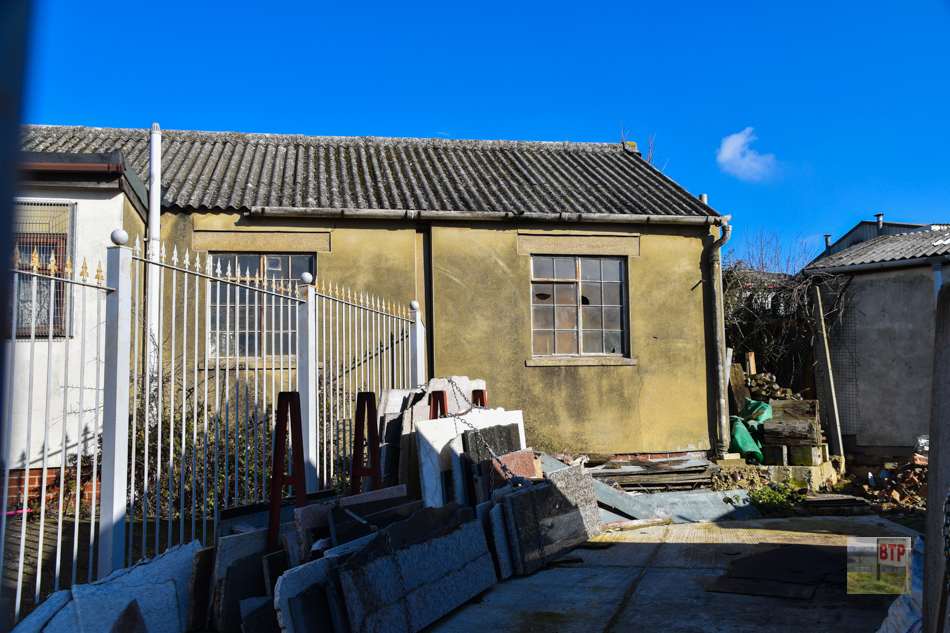
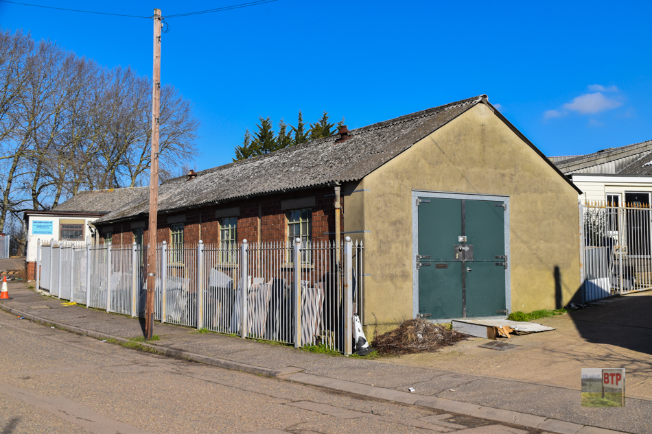
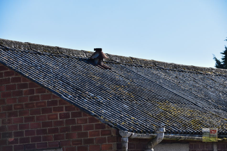
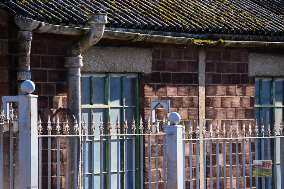
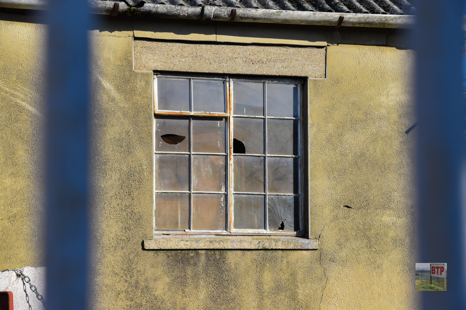
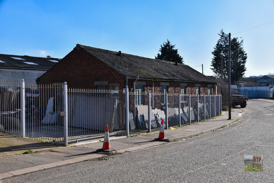
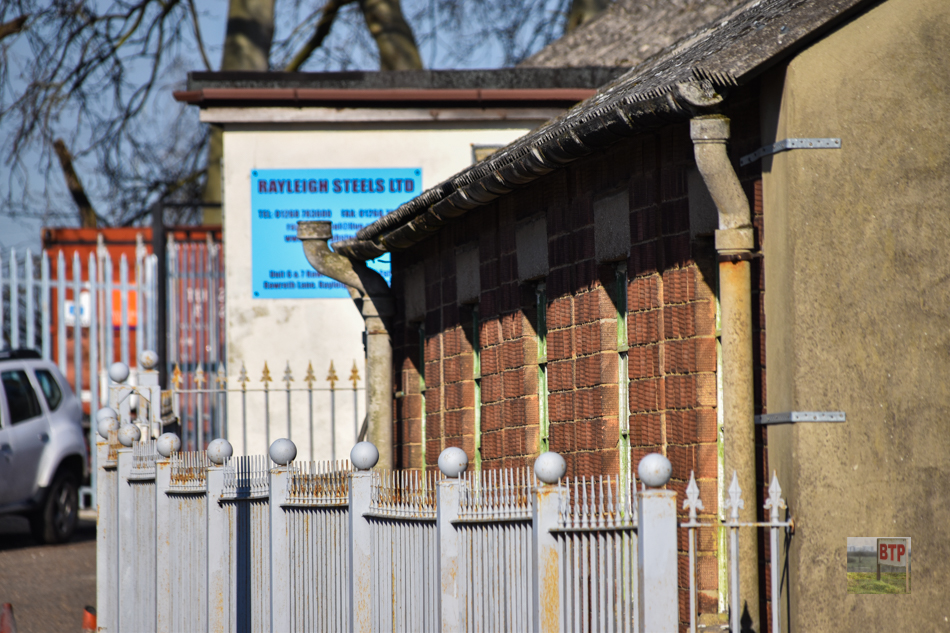
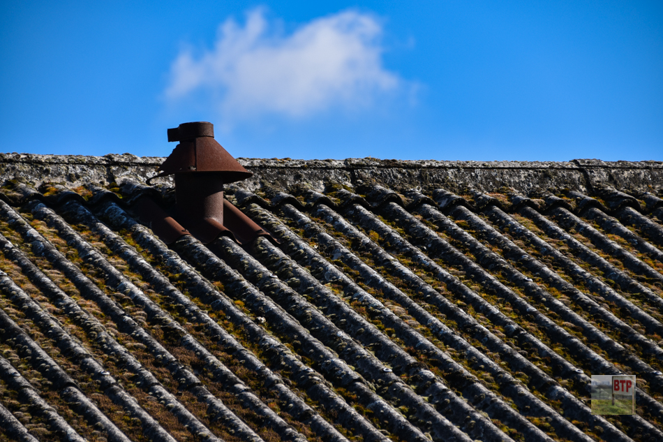
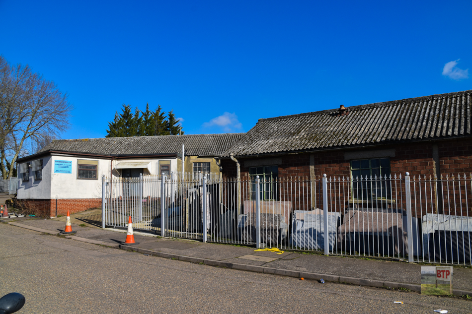
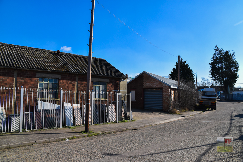
Driving through Rawreth Industrial Estate you wouldn’t have a clue that you were driving past some old Prisoner of War buildings; but they were once known locally as “Rawreth Camp” or “The Gunsite”. According to the Rochford District Community Archive, the site was constructed at the start of the Second World War, in 1940, originally as a Heavy Anti-Aircraft site known as Thames North 4 (TN4). It was only towards the end of the Second World War that it started to house Prisoners of War, when the threat of invasion started to become non-existant. The following information is from Sid Barker, who wrote this brilliant in-depth article on the Rochford Archive – do check it out.
“From the end of the remaining section the original road then followed the route of the present road. Just beyond the sharp bend were the gates. You had to ring on a bell push on the gatepost and a bell would ring in the caretaker’s bungalow and someone would come up and let you in. Quite a hike especially if the weather was bad! Just inside the gates was the guardhouse, a small brick building with a pitched roof. Directly beyond this was a flat roofed concrete building with green painted steel shutters and doors which I was told was the armoury.
Then came the compound that housed the four heavy anti aircraft guns. There were two sets of gates into the compound. The fence and gates were very high, similar to the chainlink fencing often seen around tennis courts. These gates were always locked and possibly there was a guard dog in there, although I’m not sure about this after 60 years. I do not know what other buildings were in the compound as we were never allowed inside it, but do recall that it was immaculately maintained with the usual whitewashed stone edging so beloved of the military in those days. As I recall the guns were painted dark blue. I remember on several occasions seeing the gun barrels pointing skywards, presumably when they were being serviced, but never heard them fired.
Carrying on past the gun compound, the road curved round and on the right hand side was a small brick construction which Len used to call the paraffin store. You then came to a fork in the road. In the middle was a Nissen hut which had a single width louvered door. I did get a peek inside this in the early 70s. There was no indication as to what it had been used for, although there was a fuse board where a cable came up from under the ground with ”Guns” marked on it.
The road again forked here to the right and a short spur led to a small concrete flat roofed building. Ahead of this were two roofless buildings and then another small flat roofed concrete building, which I think may have been ammunition stores or possibly some type of air raid shelter. Opposite these buildings was a Nissen hut with double doors at one end and two single width doors at the other. Alongside it was a concrete construction with a toilet in it. Next door was another flat roofed concrete building with green painted steel shutters and doors. I was later told that this was the main control/plotting room for the guns and that there was a large map on the wall showing the local area. In front of this was a strange concrete construction, which consisted of a concrete ramp leading up to a low walled platform. There was a room under this building. I have no idea of its purpose. The ramp seems to indicate that something had to be wheeled up it. Maybe a small search light, or range finder? Returning to the other fork in the road the next buildings were a pair of semi-detached bungalows on the left hand side, the first of which was occupied by Mr Millard. Across the road was a single detached bungalow. Presumably these were originally quarters for the CO and other higher ranking officers.
Carrying on down the hill, on the right hand side, before the first of the brick built army buildings were a number of large concrete shields set in the grass with the badges of the various units that had been stationed there. According to my map, there were only twelve red brick built buildings. I know most of these were identical. One at the bottom of the hill just off to the left of the road was the camp hospital. Next to this was a large concrete static water tank. There was also a single width gate to a footpath which went to Victoria Avenue.
After the departure of the POWs, Displaced Persons (DPs) were housed there. I remember one boy in my class at Love Lane named Peter who came from Czechoslovakia, but can’t remember what year. I don’t think he was there for very long. Once the camp was put on the care and maintenance basis, the army would return for a few days now and again and we were not allowed there during that time. I well remember seeing a convoy of army vehicles going along Down Hall Road, the lead vehicle being a Hillman or Austin Utility (Tilly). The vehicles all had a regimental badge on the wing, which again I recall and it was that of Anti Aircraft Command.“
This entry was posted in Location Report
