Sadly demolished around 2019, Heilsburg Road 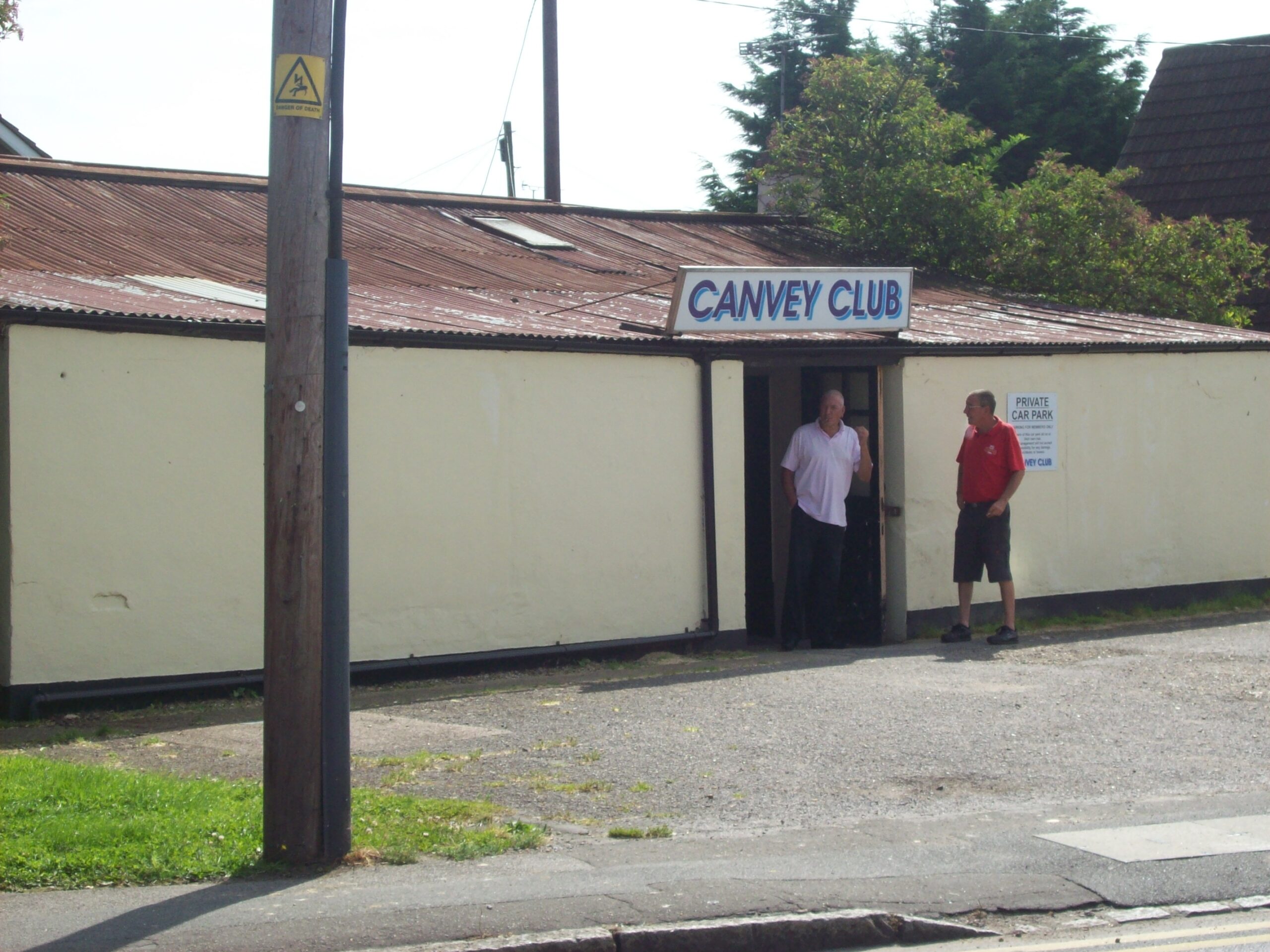
The Canvey Club may have started life as a Fielder bungalow 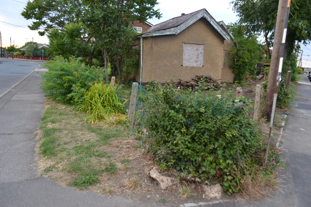
An abandoned example at Holbek Road c.2012 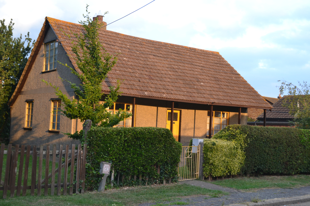
One near Orange Avenue
Lt. Col. Horace Percy Fielder could be considered the man to whom established Canvey as a residential area. A few decades before, at the turn of the century, Frederick Hester established Canvey as a tourist plotland area (read more here). However, Fielder could be considered the first to put Canvey on the map as a day to day residential ground – before, it’s population consisted mainly of retired individuals, tourists, or farmers. Now, it would become a place where the everyman could live.
The Canvey pioneer began his work by arranging the construction of similarly designed bungalows all over the Island, during the 1930s. Although cheap in construction, they were considered of modern design at the time. They were often sold with plots of land still in the era when Canvey and other places in the area were plotlands for those wanting to escape the city to rural life. The bungalows resembled American ranches with their wooden porches, not out of place amongst Canvey at this time. Many remain to this day, either in original state – abandoned or still lived in, or heavily refurbished to the point where they are difficult to recognize. However, given their rudimentary construction, many have been demolished within the decade that Beyond the Point has been operating. Fielder made more houses, including some in the style of Canvey’s Dutch cottages – these imitations are visible here.
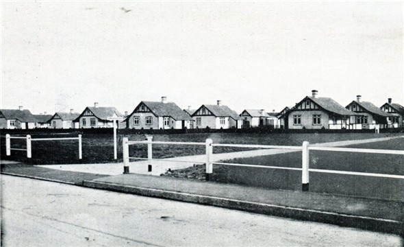
1933 Guide image 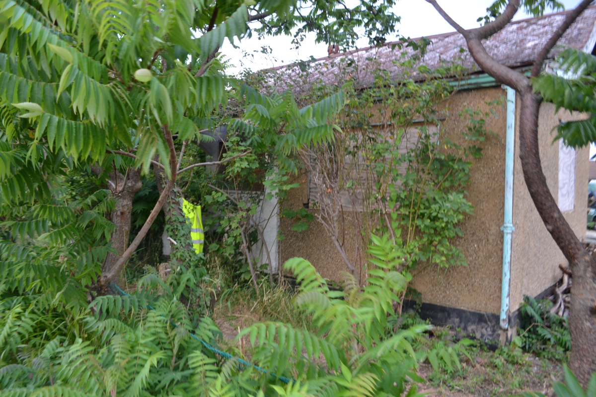
Holbek Road abandonment 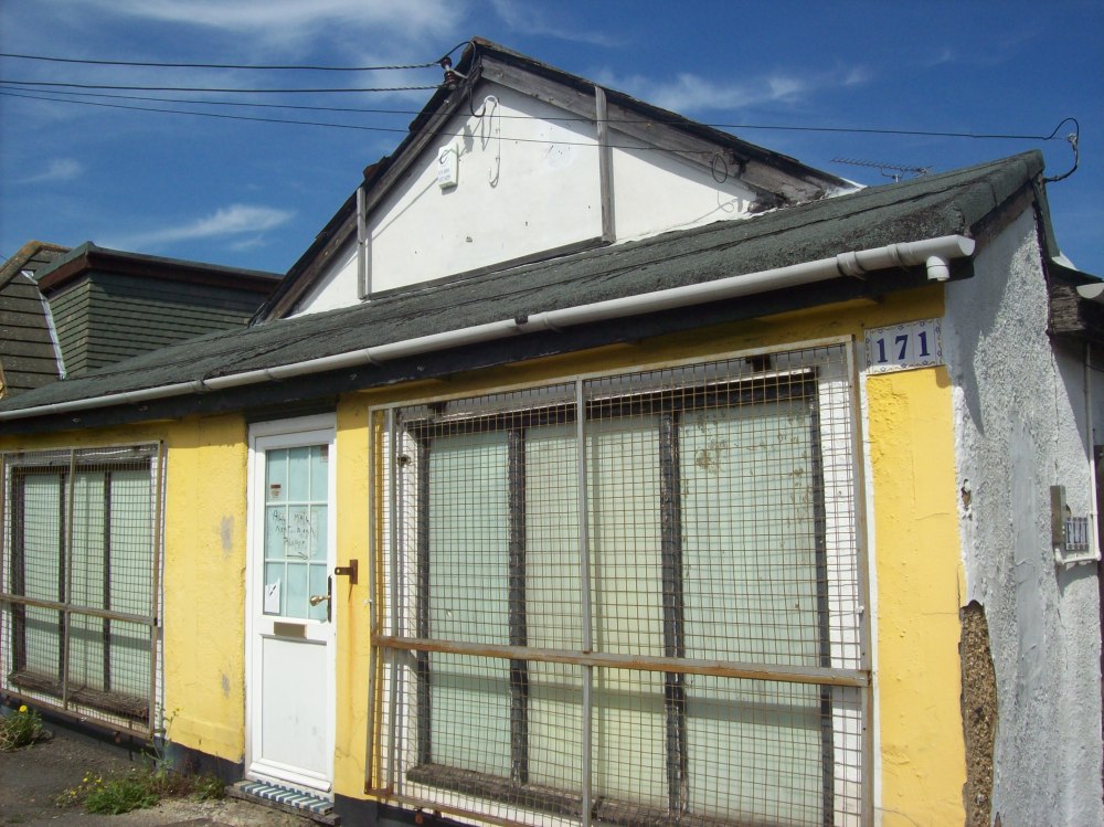
Bungalow converted into a shop 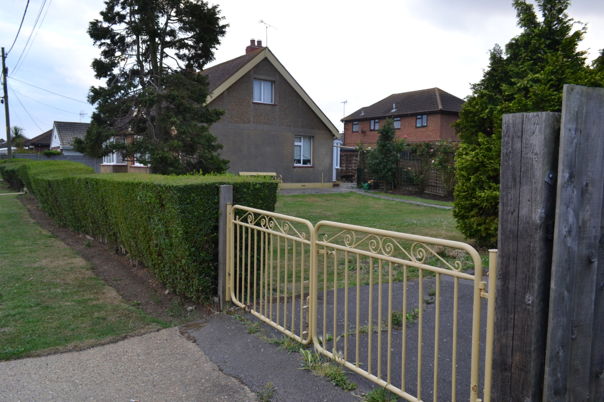
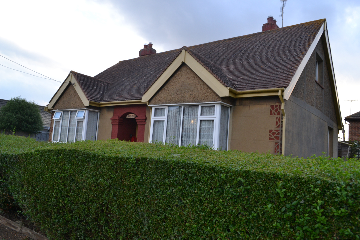
A possible earlier construction pre-Fielder, sadly demolished despite its stunning condition in 2013
The bungalows were made in either ‘Po-lite’ – a form of asbestos, or out of brick – being the more sturdy expensive design. A giveaway feature of the bungalows is the slanted roofs which sometimes subtly change angle at the front, sometimes with original square roof tiles. The reason for the front side of the roof’s angle becoming more obtuse about half way down is because they were originally built with the roof slanting over a porch, with an air of American ranch house. Many of these porches were converted not long after into extensions of the house, being small as they are, but some remain intact. About half of the bungalows had such porches, the rest had straight sloping roofs which were longer on their right side as the building extended a extra room. Both examples can be seen in the 1933 photo below. There were other variants, and were not an ‘exact science’. The myriad of conversions visible on the island makes it difficult to tell exactly all the varieties that existed.
Rainbow Avenue, a small road off Rainbow Road on Canvey, was a complete 1930s’ Fielder street as of the mid-2010s. Many of the bungalows have been heavily modernised, others barely. It consists of ten Fielder bungalows at the time of writing.
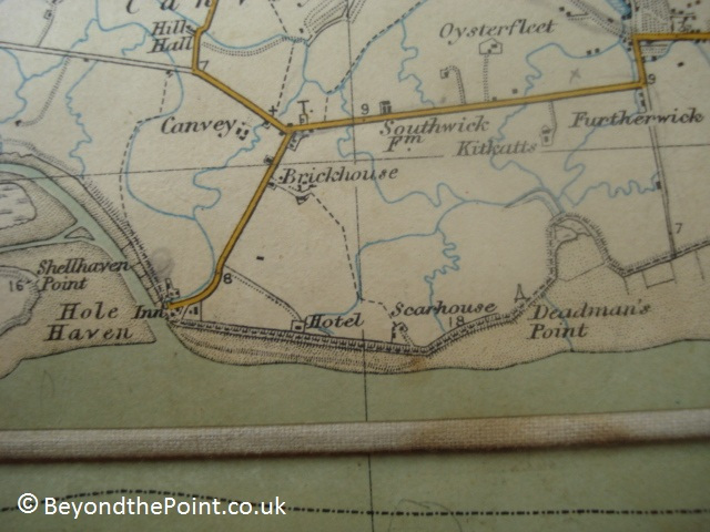
Fielder’s Hand-Made Hunting Map
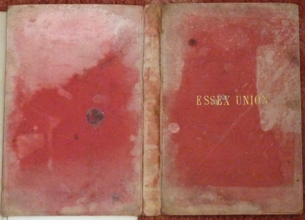
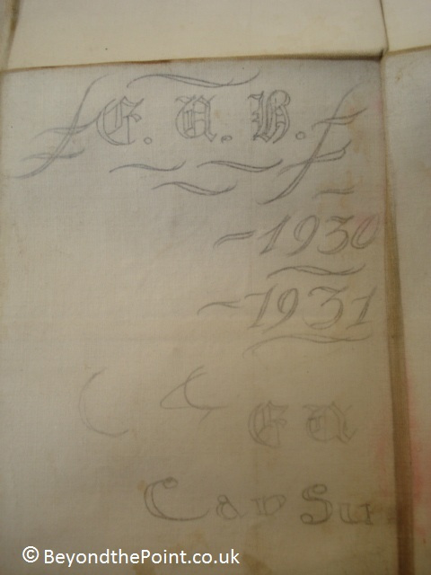
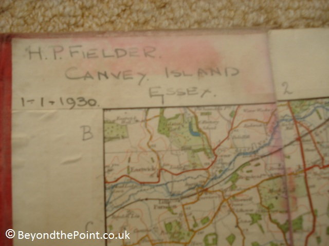
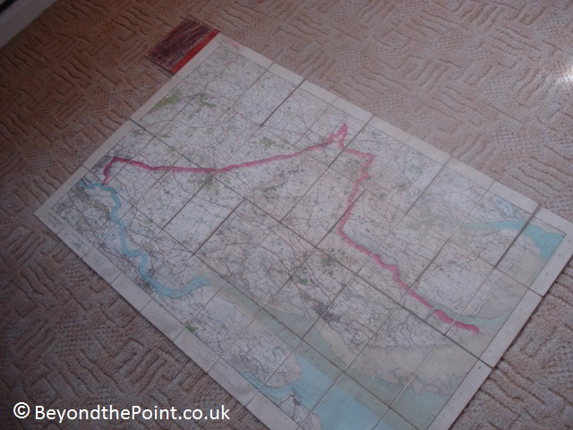
I was fortunate enough to be able to have a look a map of Joe’s aunts, with the name ‘H.P. Fielder’, one of Canvey’s most well known World War 2 characters (who owned Thorney Bay including the army camp, and many other placed on the Island, plus he was a member of Canvey’s governance – read more here ‘http://canveyisland.org/page_id__625_path__0p22p.aspx‘), written on it in ink. We took it to the Bay Museum and came to the conclusion it was a hunting map (hence the ‘Essex union’ cover, and that it displayed numbered hunt spots, and the boundaries of their hunting license. We then took it to Janet Penn, who runs and contributes to Canvey’s archive (www.canveyisland.org). She came to further conclusion that someone, probably Fielder, had got the map on printed paper, and divided/segmented it up into pieces, and glued it on canvas, which then was placed in the Cover, and the coordinates were manually added by and in ink. It also has someone else’s writing on it, which appears just to be calligraphy practice.

