North of Butlers Farm in the Shopland, Sutton rural area north of Southend lies what was once thought to be a Romano-British burial site by local historians. The mound is roughly 5ft x 16ft in size and is similar in shape to other local barrows which exist on Foulness Island and Mersea Island; both dating back to Roman Britain. These burial mounds are known as ‘tumuli’ or a ‘tumulus’ (singular). The mound located just south of the River Roach has been shrouded in mystery for centuries in its isolated location. It has been described as an ‘eerie tumulus surrounded by trees’, close to a natural chalybeate spring, been alternatively speculated as the base of a mill, and has unofficially been named the ‘enigmatic mound’ of Butlers Farm.
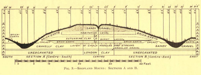
During the 1930s, the mound came under investigation. This work was primarily carried out by Southchurch archeologist Alfred George Francis (1862-1940). He suspected the mound to be a tumulus dating either from an ancient Romano or Belgo-British civilisation and set to investigate further. Upon the digging of trenches and subsequent archeological examination in 1932/1933, it was discovered that the mound was in fact the foundation of a 1600s’ circular dutch cottage like the ones on Canvey Island and in Rayleigh, built onto a raised area to keep it high and dry from the nearby marshland. After its abandonment, the base was gradually piled over with gravel. Snail-shells, coal, clay, and chalk, as well as brick and tile were found. After excavation the site was backfilled and hence remains probably as it originally existed.
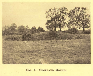
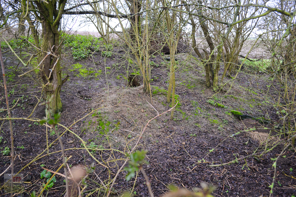
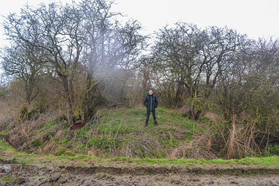
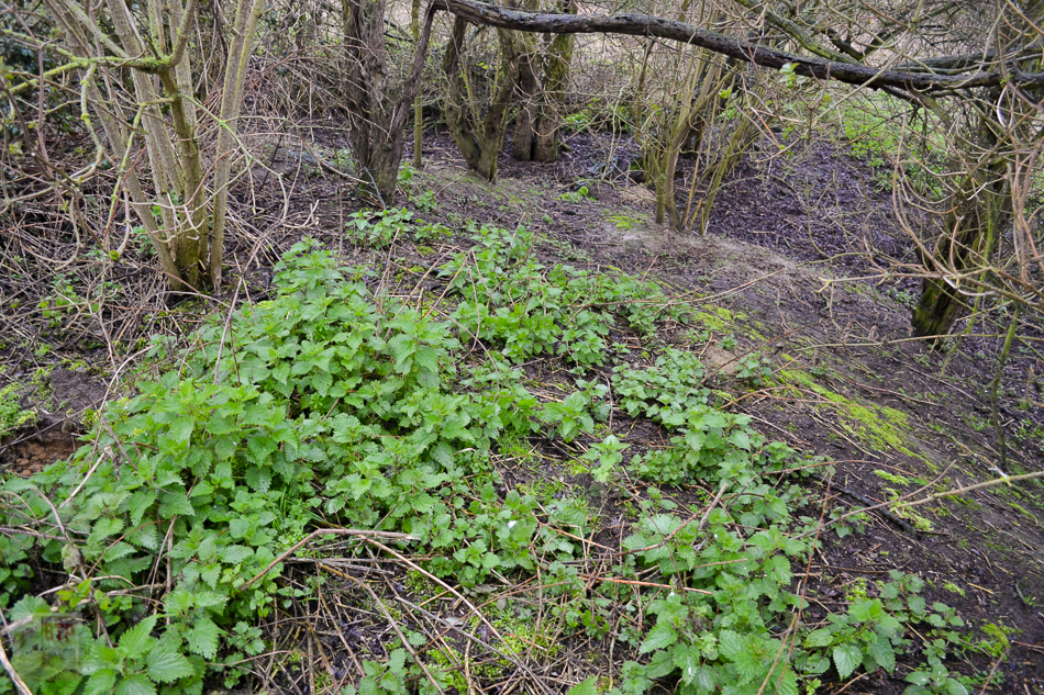
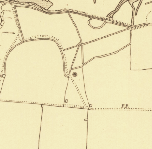
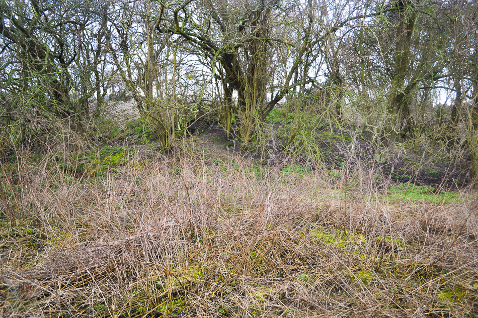
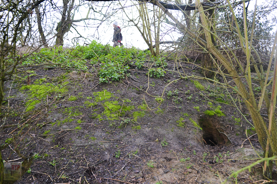
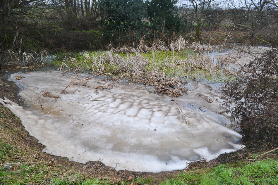
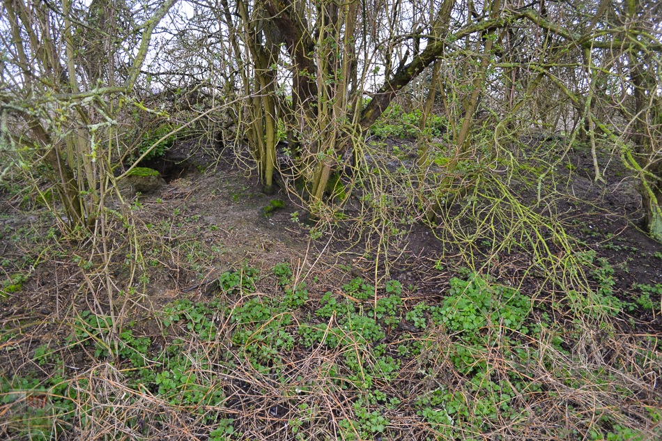
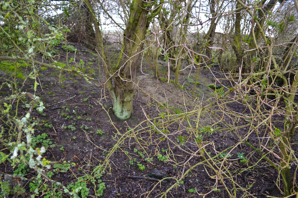
When we visited to try and find the illusive mound, we at first were disappointed by a few suspect sites which turned out to be no more than ponds (Google Earth can be deceiving). However, on the way back we spotted a small raised area amongst the bushes along the edge of a field. Upon further research, this is the enigmatic mound in question. The site is surrounded by a 40ft-diameter circular ditch or ‘fosse’, from where the mound’s soil was dug. Since the 1923 OS map marking the mound (see below), the pasture immediately north of the mound was extended to close the mound off from the arable field it once stood in. Therefore, the south-eastern section of the ditch is now part of the water-filled dyke running around perimeter of the surrounding field. The rest of the ditch is fainter and dry although still easy to see. The site has also become considerably more overgrown since the 1930’s photograph seen above, as a result of it being contained into the pasture of trees adjacent. The mound itself is hard to spot as a result but is distinct upon closer inspection. The pasture immediately north and bisecting pathways could be related to the former dwelling on-top of the mound. The mound itself consists mainly of clay upon visual inspection, home to many badger sets. In fact, it was so holey my entire leg fell through!
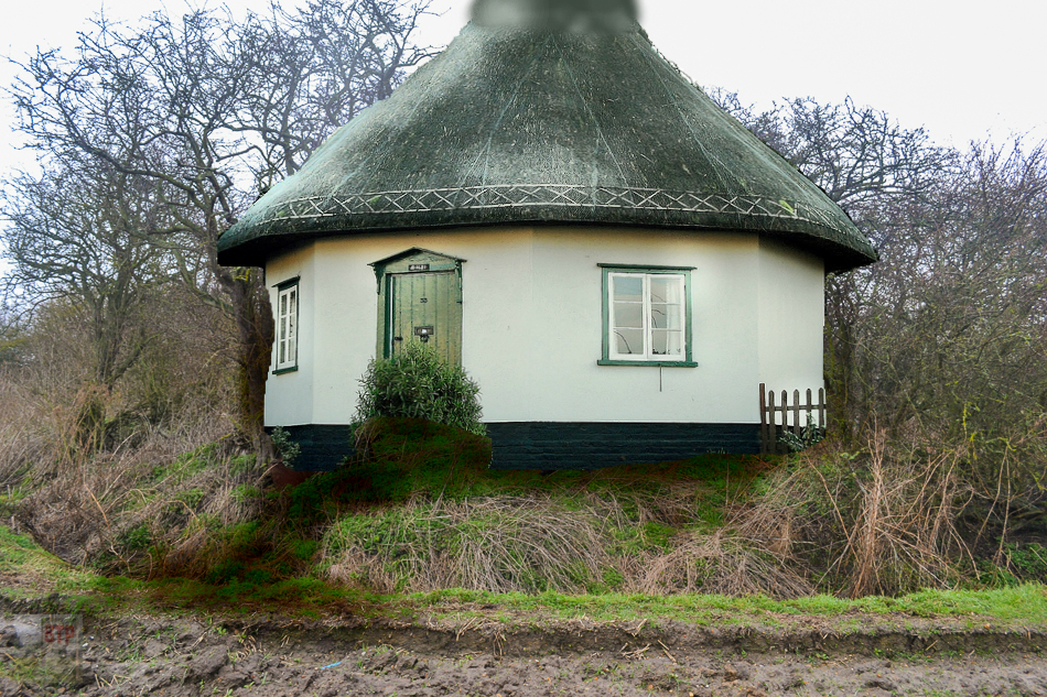
Digital impression 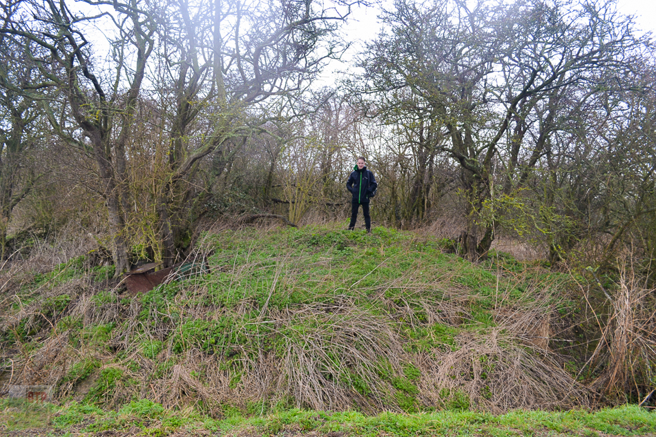
Sources:
Many thanks to Merline Evans for helping to research and find this site.
https://livesonline.rcseng.ac.uk/biogs/E004106b.htm
http://www.essexfieldclub.org.uk/archivetext/s/025/o/0057
‘Transactions of the Essex Archeological Society, Vol. 21:1 (http://esah1852.org.uk/images/pdf/new-series/T2210000.pdf), pp. 270-283.
1923 Ordnance Survey Map of the Sutton area
This entry was posted in Location Report
