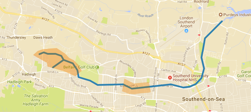
Map showing rough path of the discernible Prittle Brook & sections explored
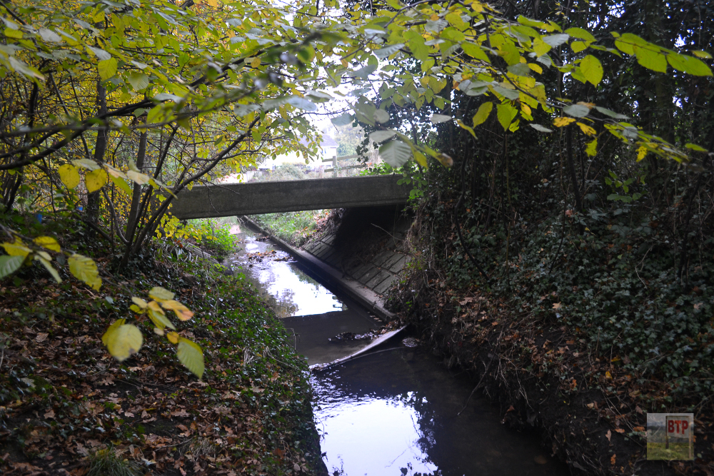
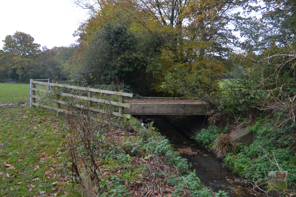
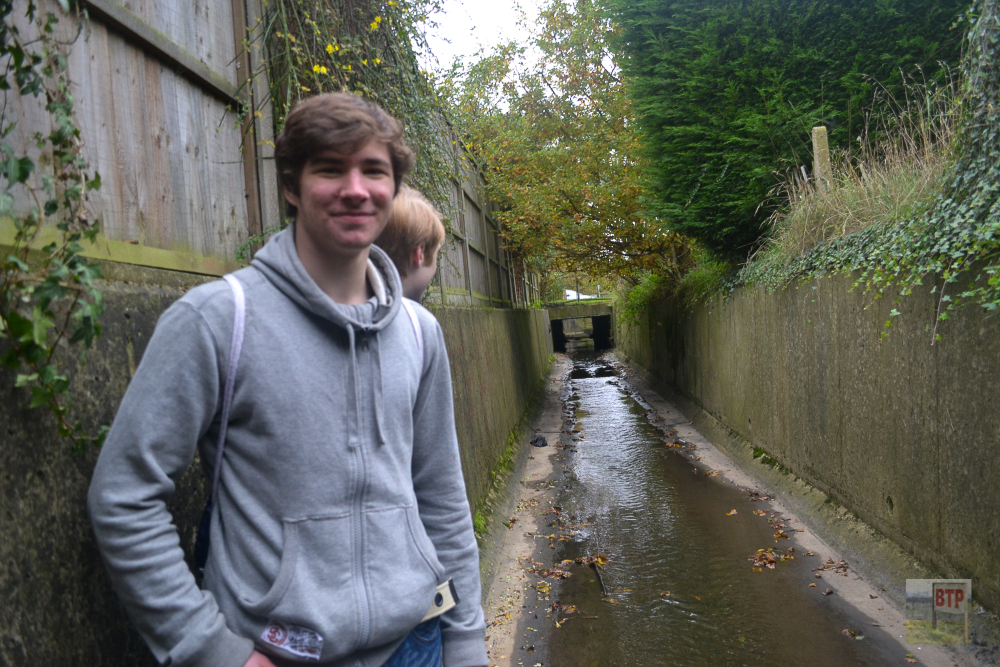
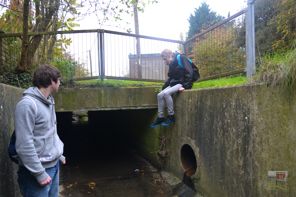
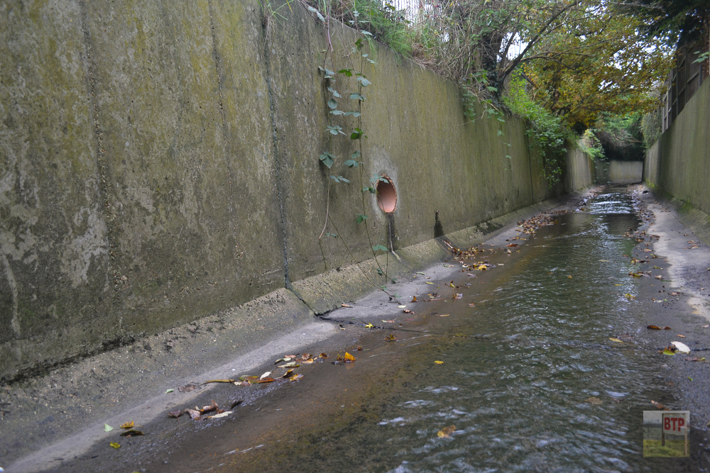
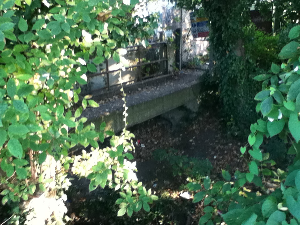
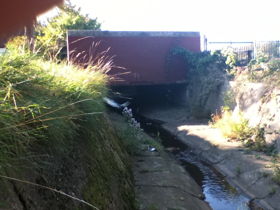
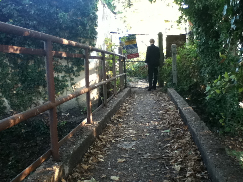
The Prittle Brook is a tributary of the River Roach spanning down through Prittlewell which takes its name after it, through Southend, Westcliff, Chalkwell, Belfairs Wood and Hadleigh Great Wood, before becoming difficult to source somewhere in Thundersley and Benfleet. The map above shows where it is visible. When I used to go to school (BTP Liam) at Westcliff High School for Boys, we would often walk by and marvel at the concrete-lined stream which ran across the southern perimeter of the school, going through tunnels under roads and spanning off into various drains. I decided to check out a small section which ran under two road bridges next to the school in 2011. We set out again in 2013 to see it nearer its source where it becomes visible in Thundersley, before heading into Hadleigh Great Wood and Belfairs Wood. Much of the brook features a pathway between Belfairs and Southend, designated the Prittle Brook Greenway after it was refurbished around 2010-2012. This pathway originated in the 1940s to allow safe passage around the area to and from Southend without needing to cross any main roads, and the concrete banks probably originated from the 1930s when the area became more urbanised just before. Below you can see what I wrote about either visit and see the photographs:
2013 Visit
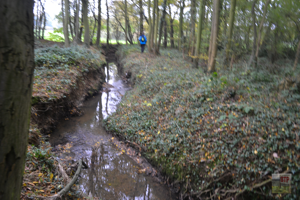
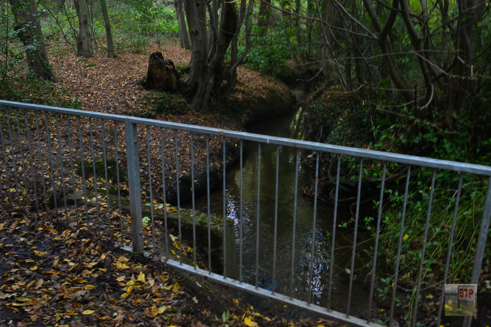
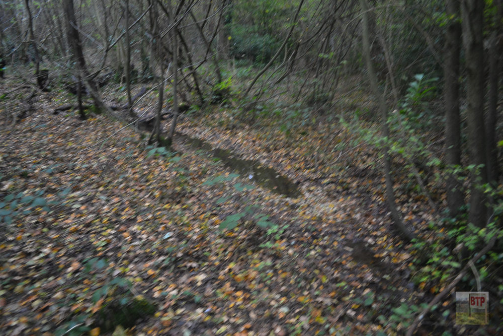
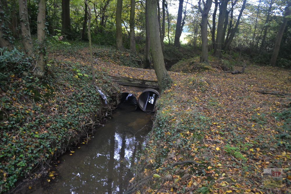
“In early November 2013 myself, Alex Evans, Michael Clark, and Jack Swestun, headed out to walk the Prittle Brook – a stream dating back hundreds of years and in places modernized by concrete lining; maybe as early as the 1930s but could be as recent as 1970s. After the Second World War around the time of the development of the brook a path was created alongside the Eastern end of it it going through the houses providing safe passage from Belfairs to Southend, and it features many ‘crossroads’ today and a pebble path set in late 2013. Its source is deemed to be in Hadleigh or Benfleet woods, and we met it near this in Hadleigh near Poors Lane. It disappeared into Hadleigh Great Wood with little trace but we believe we did find it as a small stream running through the leaf litter. It emerged in Leigh and continues like this up to Southend where we have not followed it any further. Eventually it goes out on the marshes near Rochford probably as a tributary into the sea.”
2011 Visit
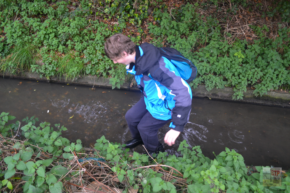
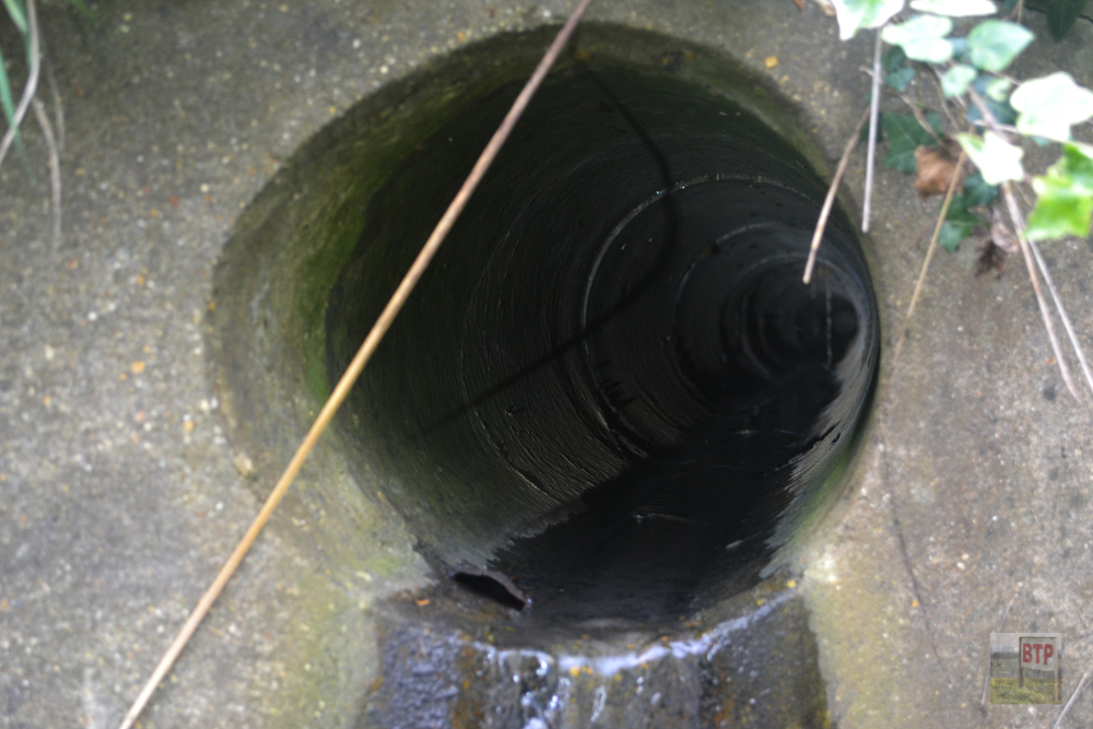
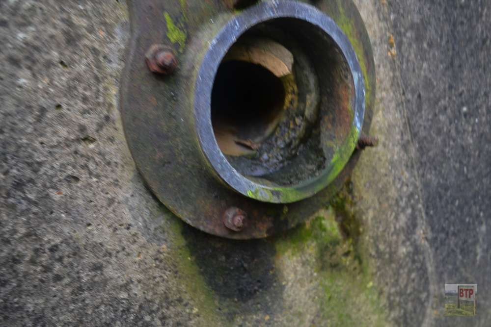
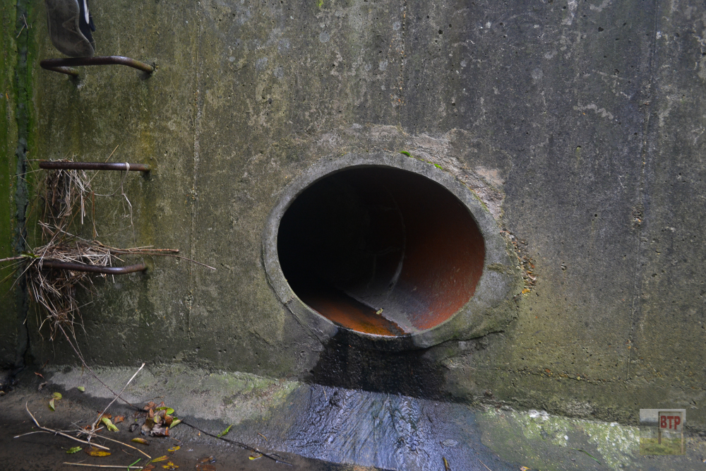
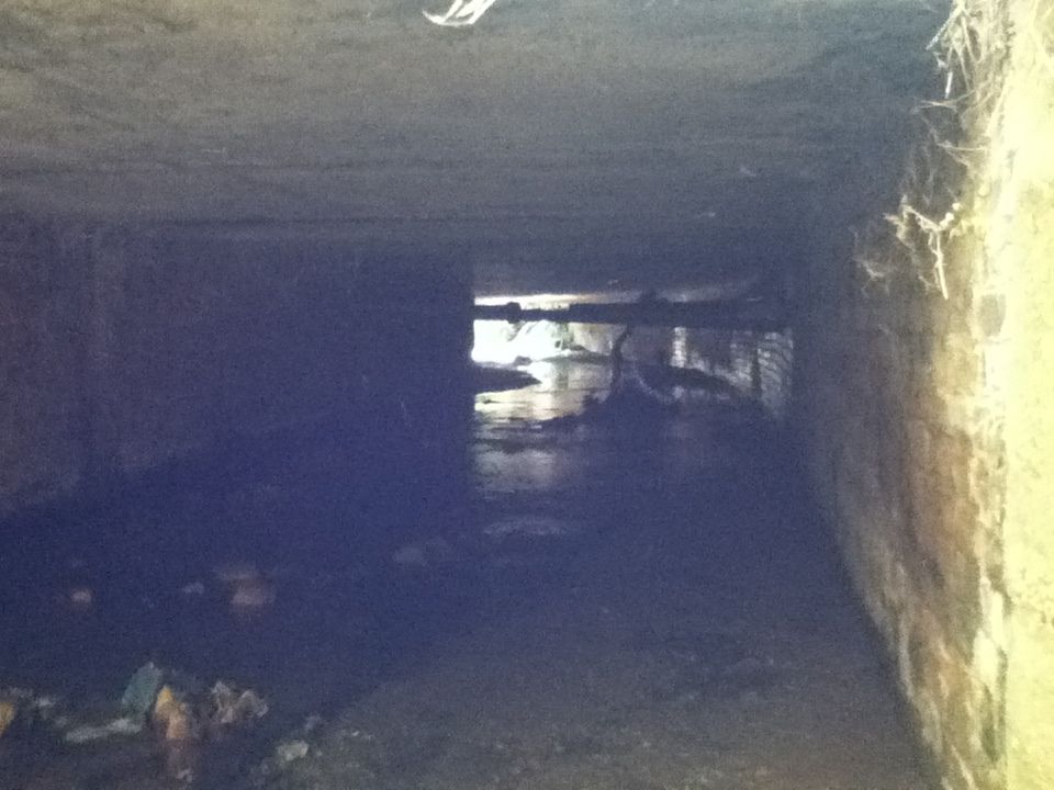
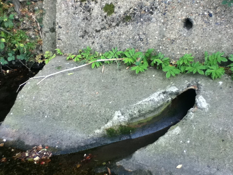
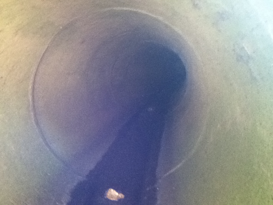
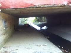
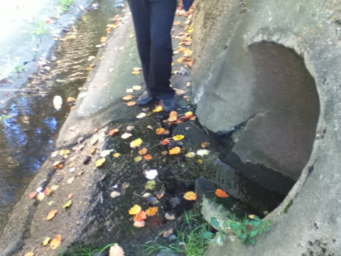
“I and my cousin, Alex, who lives further afield in Westcliff, took a quick half-hour trip to the Prittle Brook, a tributary which runs from Benfleet to Southend. It’s concrete and sand-bag enclosure was built in the early 20th century (probably 1930s), and had a path cleared alongside it from the Belfairs to Southed section to enable safe passage without the need to cross main roads just after WW2. It is complete with endless pipes/tunnels travelling miles across underground, and goes under roads that are on average two lanes thick. It was something that simply just had to be checked out.”

