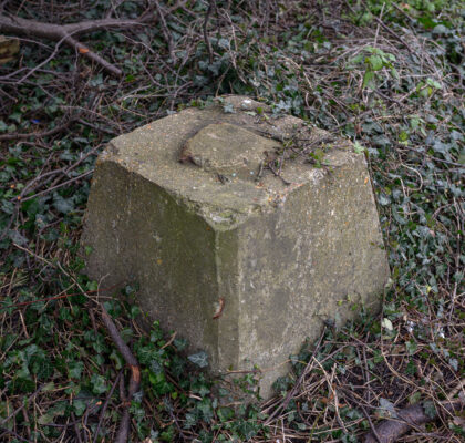
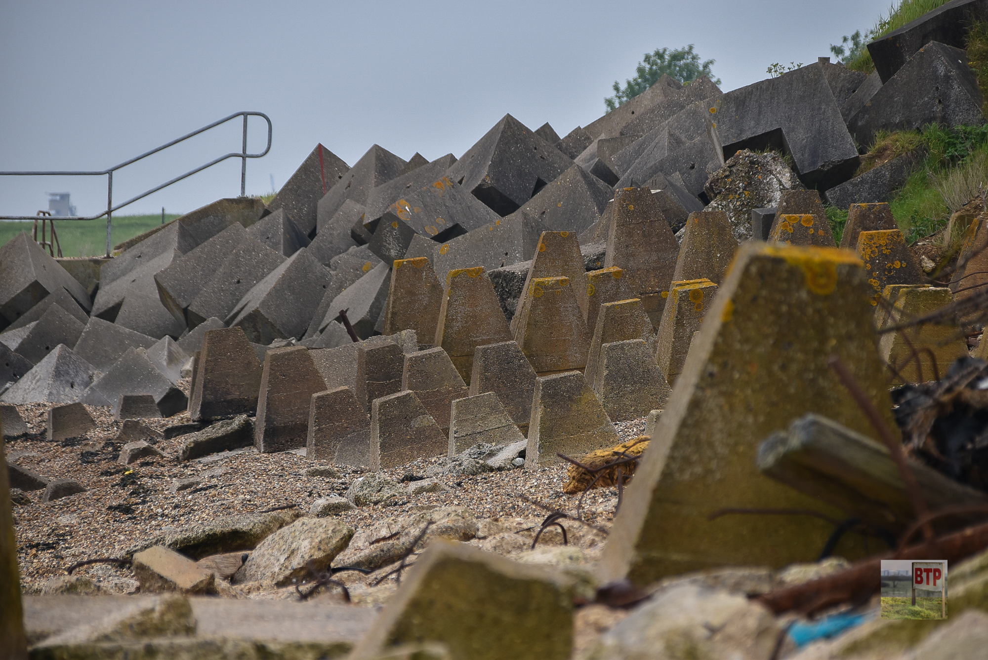
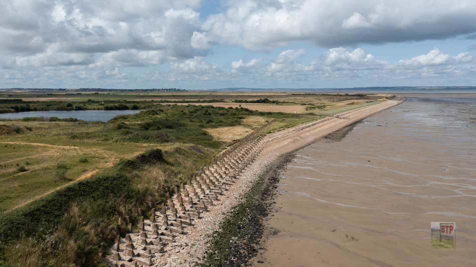
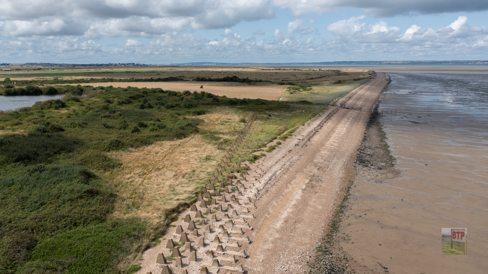
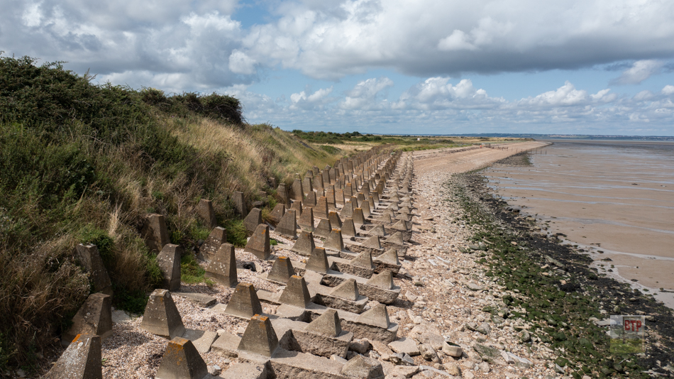
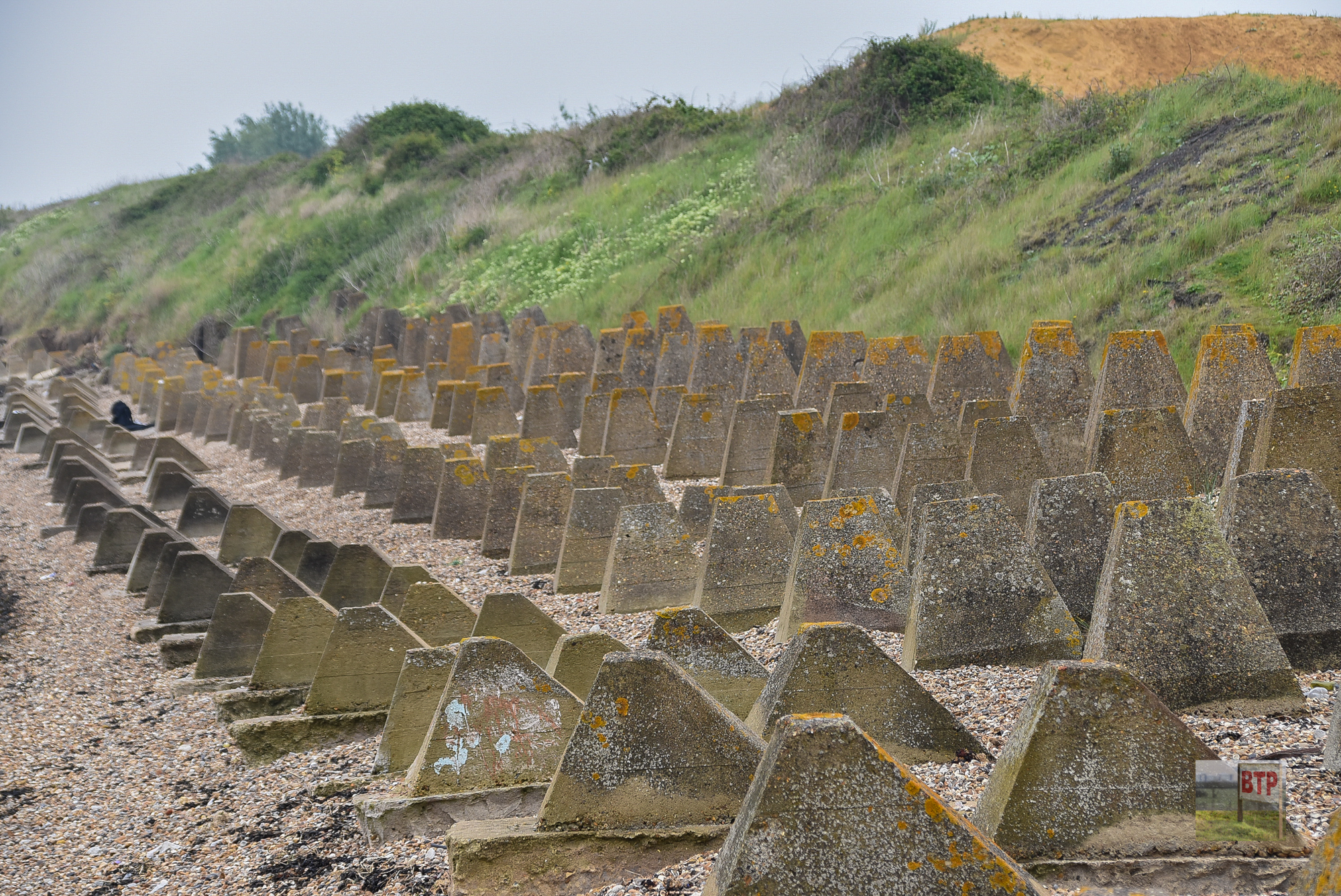
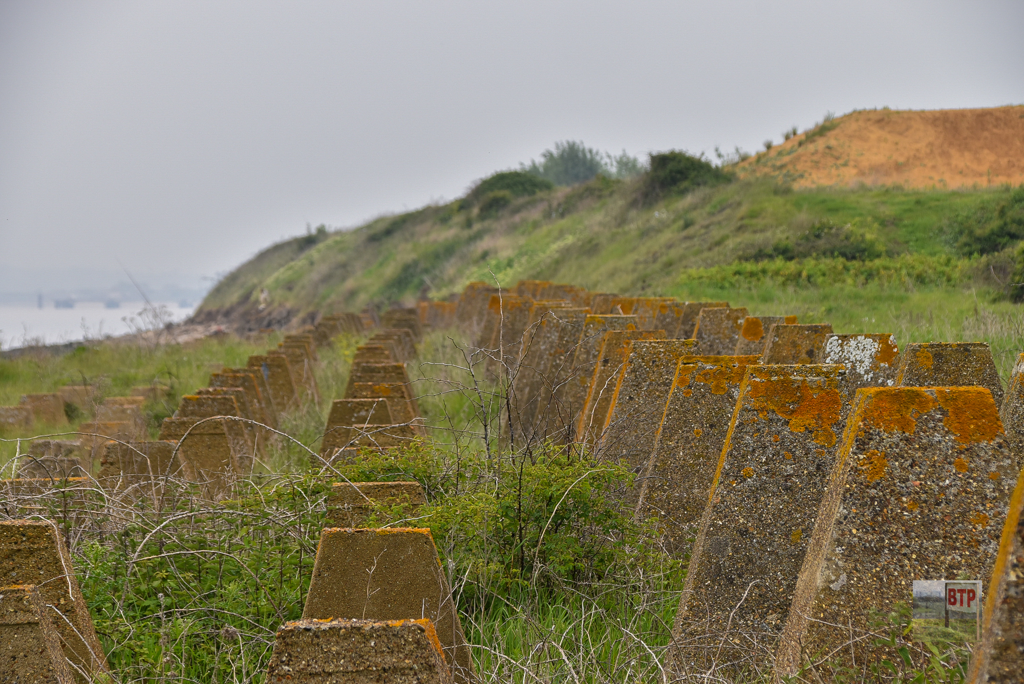
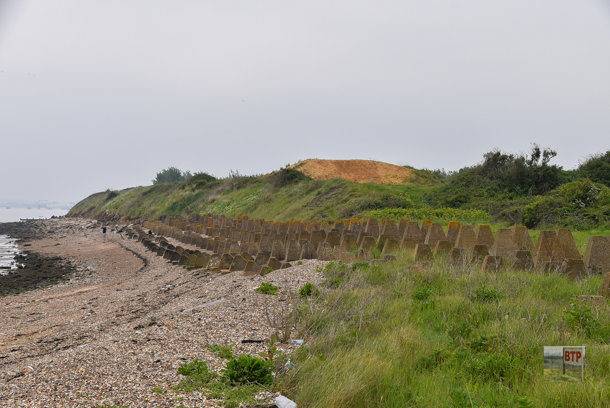
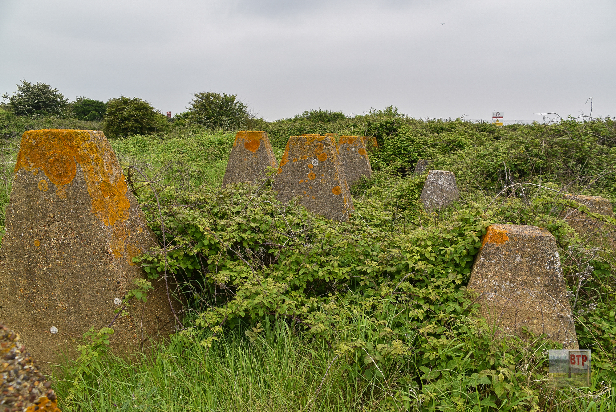
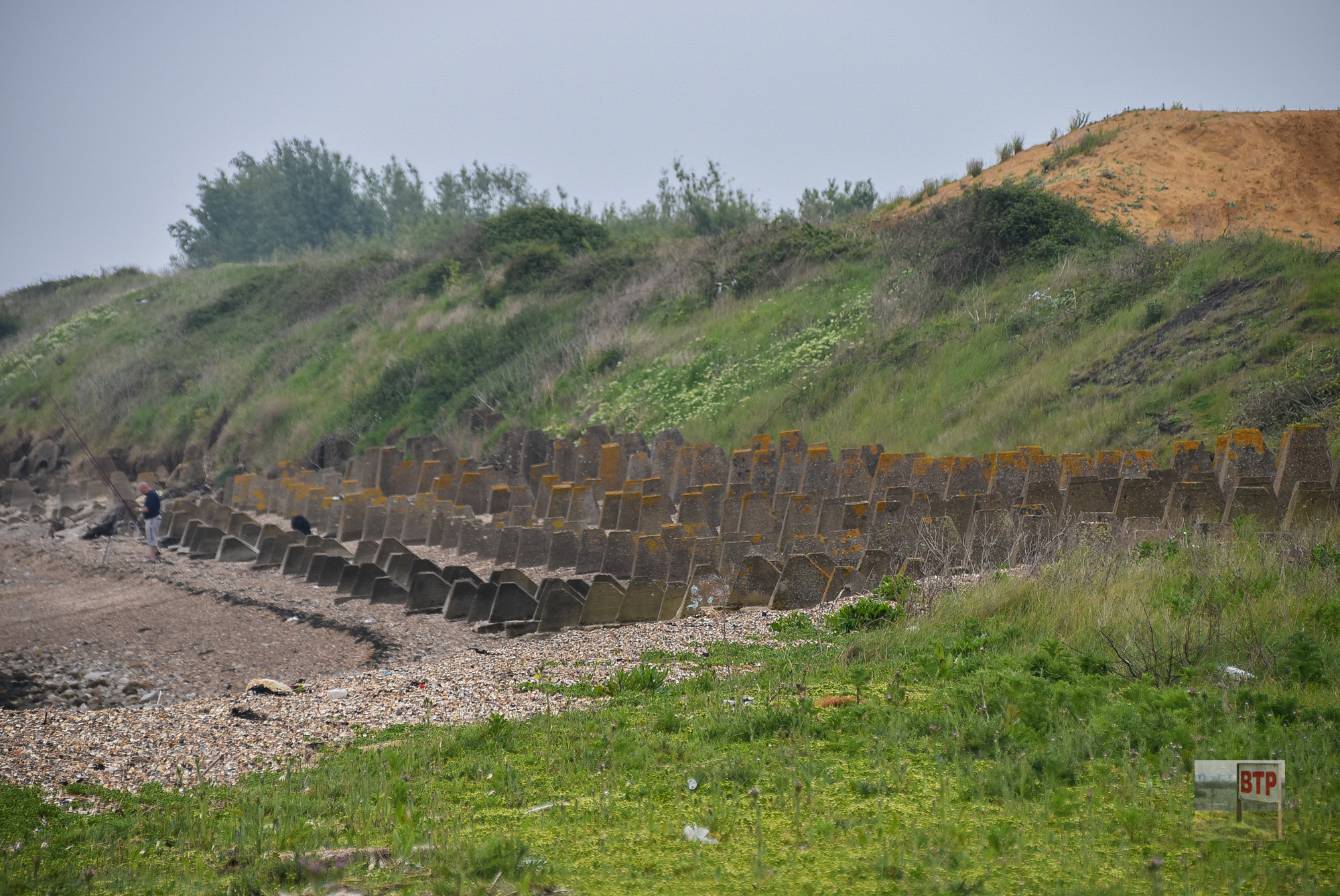
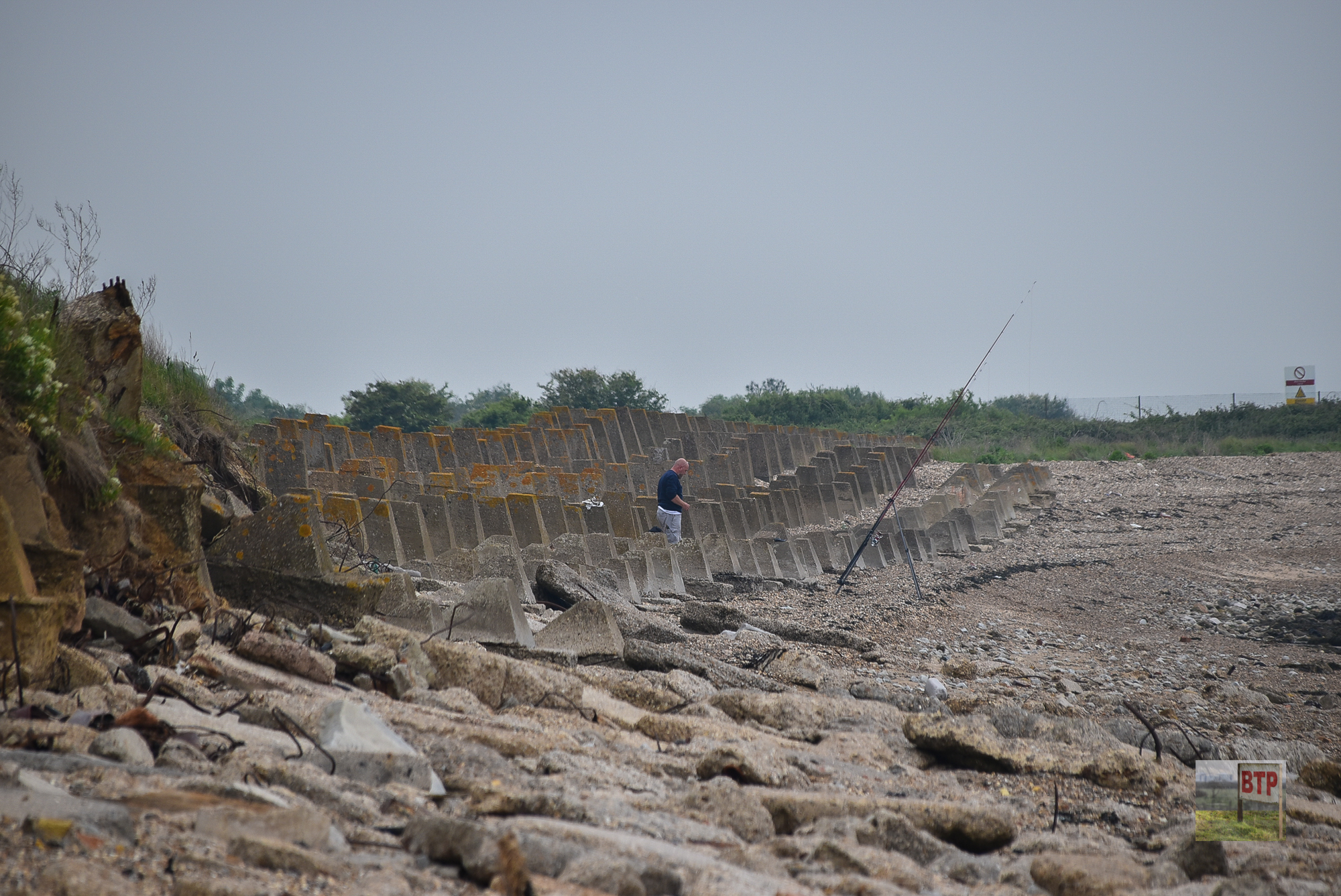
The Isle of Grain is scattered with historic remains and it’s prime location means that it would be essential for protecting the capital from invasion. During the Second World War, anti-tank obstacles were constructed to prevent any German vehicles entering British soil. Scattered along the beach at Grain, these defences have been Grade II listed since 2009.
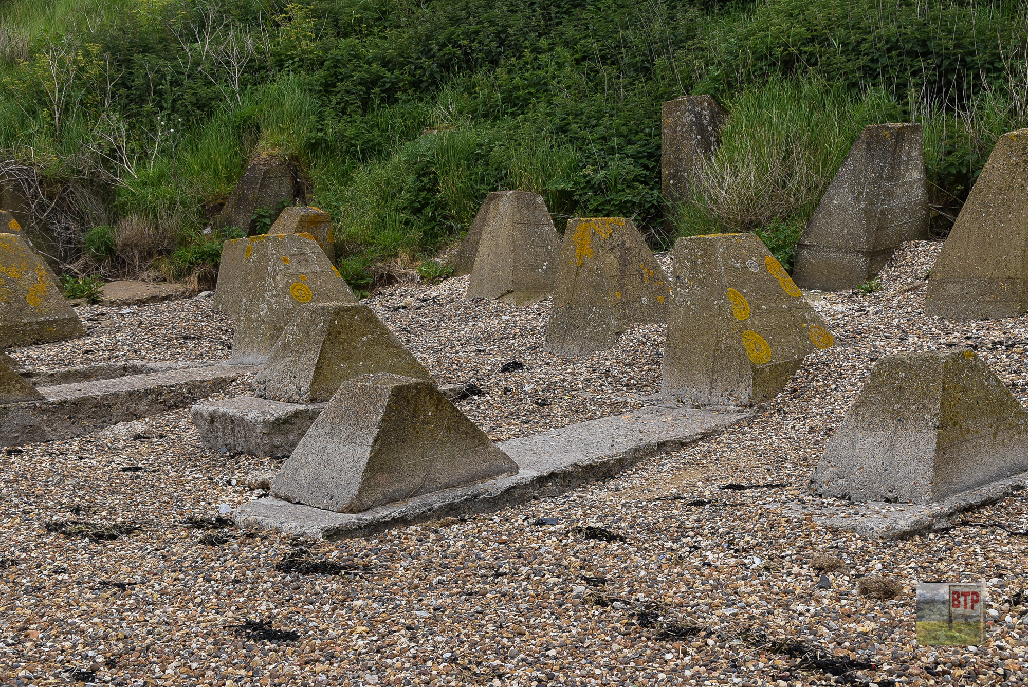
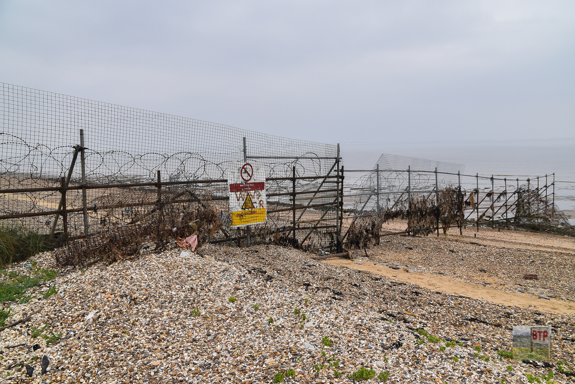
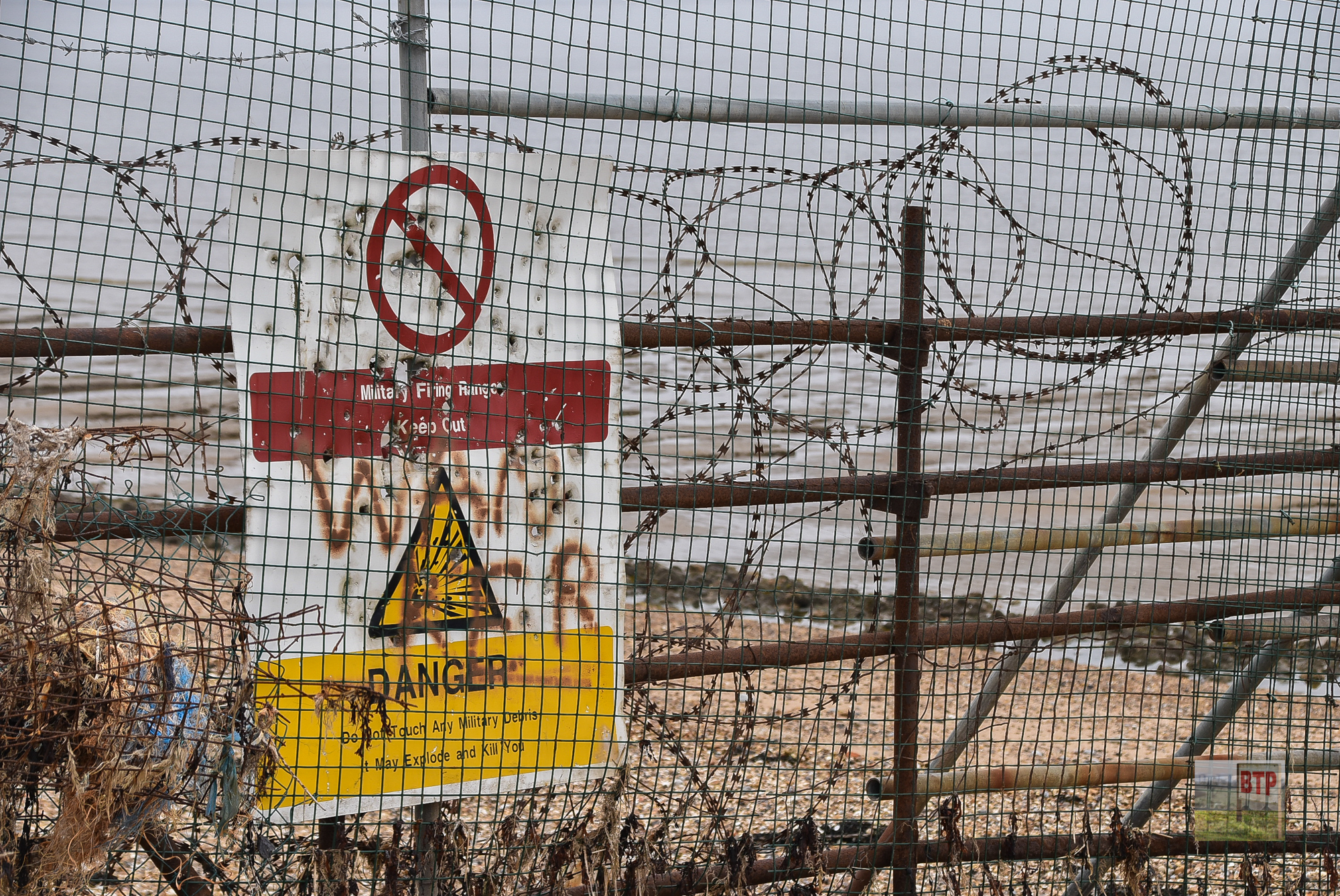
Three types of design were used to form the line of defence; cubes, pimples (a flat-topped pyramid also known as dragon’s teeth) and caltrops. Caltrops are a rare type of concrete obstacle, similar to tetrapods which are used today to prevent coastal erosion. Whilst anti-tank defences are fairly common, it’s unusual to get such a variety especially at a length of almost 600 metres in length, continuing onto the nearby fields! The fields and beach to the north-west of the site are sealed off due to the risk of unexploded ordnance.
Then & Now
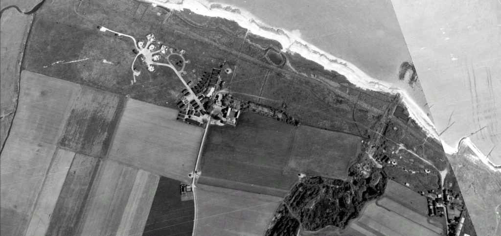
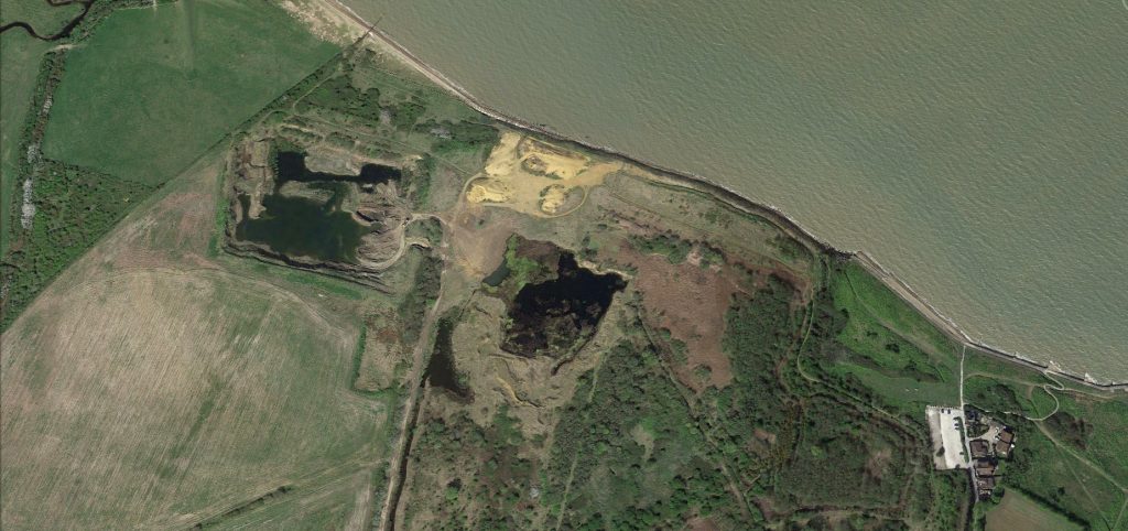
Whilst it appears that we’ve actually lost a bit of land at the coast, the defensive line is still the same as it was and the aerial imagery from 76 years ago shows the anti-tank blocks inland rather than on the beach as they are today. This 1940s imagery also shows the presence of an HAA battery, sadly now destroyed with the 2015 imagery showing some form of quarrying in its place.
We thank Tony Watson’s Hoo Peninsula blog for the information.

