Tag: Agricultural

By Joe Mander

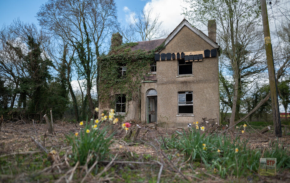
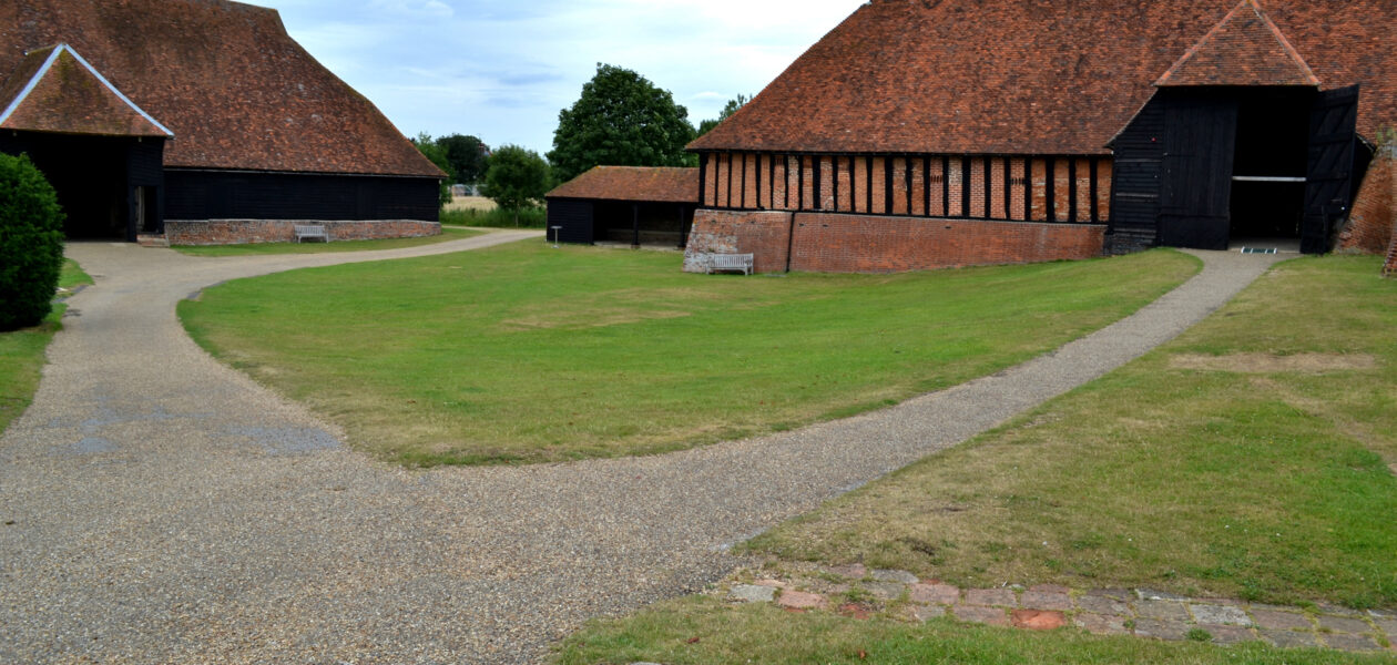
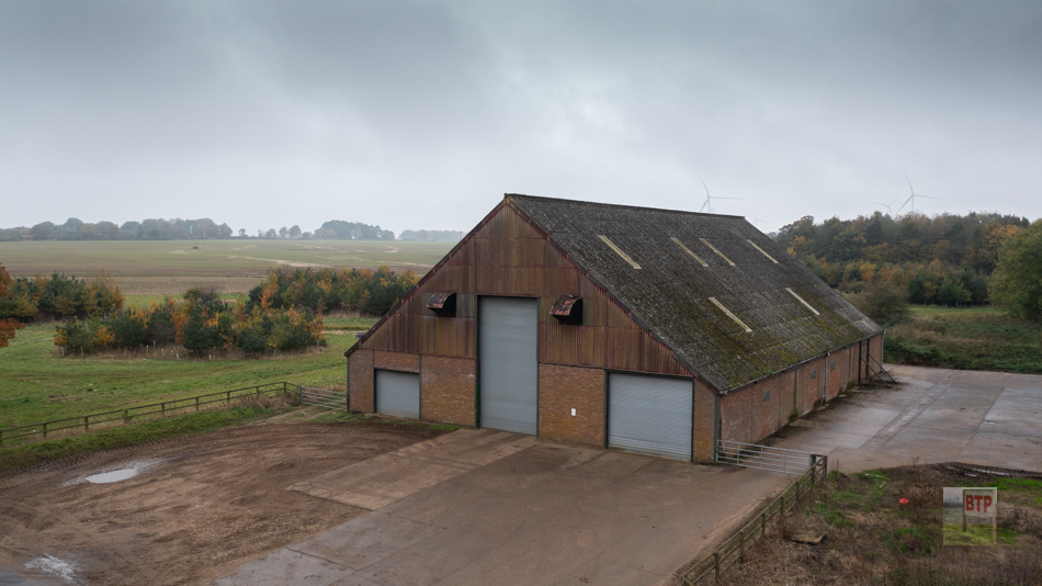
Norfolk’s Nazi Barns

As war intensified in 1940, the Royal Air Force were looking to rapidly expand their airfields across the country. In Norfolk, officials from the Air Force were tasked with finding sites where it would suitable to quickly and cheaply build new airfields – usually by converting farmland. As the search across the county continued, suspicions…

View More
By Joe Mander

Woodhouse Farm, Rivenhall

Woodhouse Farm dates back to the early 17th century and is Grade II listed, despite being modified over the years. It lies derelict next to the former RAF Rivenhall site near Whitham however since visiting the site we’ve seen plans which show that the farm will be restored and made into a visitor heritage museum….

View More
By Liam Heatherson

Pantile Farm, Canvey

Turn back the clock to 1850 and Canvey Island little more than farmland and a small village, much like the Wild West. Only few of these actually remain today, with Brickhouse Farm being one of the only still in operation. So, where did all the rest go? Well, a majority became left abandoned due to…

View More
By Liam Heatherson

Paglesham Oyster Beds

Paglesham’s flourishing oyster-farming industry dates back to the late 19th Century. Whilst oysters have been farmed around the Essex coastline as far back as the Roman era, they exploded in popularity nearing the turn of 1900 because they were a cheap source of food for the poor. By the early 20th Century, oyster beds at…

View More
By Liam Heatherson

Thundersley Glen

Thundersley Glen is great example of how even the most seemingly natural spaces have a history all of their own; and how this changed the landscape. A section of woodland in Benfleet adjoining with Mount Road Wood and Shipwright’s Wood in Benfleet. It was once part of the greater Jarvis Wood belonging to Jarvis Hall…

View More
By Liam Heatherson

Upper Horse Island

When Beyond the Point was first established in 2011, we started investigating some strange patterns on Upper Horse Island, situated to the west of Canvey Island. They appear to be the same colour to the marsh surrounding, but are clearly shaped by humans, it being square, with circles and lines inside. This lead us to…

View More
By Joe Mander

Canvey’s Dutch Sea Walls & Reclaimation

Sometime roughly around 1622, a Canvey land owner known as Sir Henry Appleton called upon expert Dutch engineer Cornelius Wasterdyk Vermuyden to reclaim Canvey’s constantly flooding marhsland. Whilst it is traditionally thought that Vermuyden was directly responsible for Canvey’s reclaimation as he was other parts of England’s south-east coast, it is now thought that an…

View More
By Joe Mander

Metropolitan Drinking Founains

Dotted around the city, it takes a keen eye to spot these cattle troughs disguised amongst the bustling traffic. Nowadays they’re mainly used as flower beds but the history of them takes them back to 1859 when MP Samuel Gurney and barrister Edward Wakefield established the Metropolitan Drinking Fountain and Cattle Trough Association. Initially they…

View More